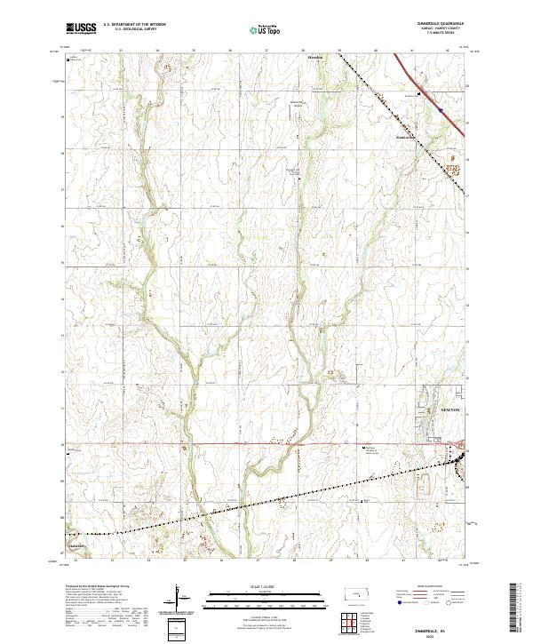
2022 Map of Zimmerdale
USGS Topo · Published 2022About this map
Hesston and the surrounding agricultural landscape of Harvey County appear in this 2022 survey, defined by a dense network of country roads and creek drainage systems. The map captures the interface between the growing residential areas of Newton and Halstead and the rural townships of T22S and T23S. A distinctive pattern of local history is visible through numerous burial sites, including the Eastlawn Cem near Zimmerdale and the Church of God of the First Born Cem north of the central plains. The drainage of W Emma Cr, Middle Emma Cr, and E Emma Cr dictates the flow of the land, while the Little Arkansas River skirts the southwestern corner. Private aviation is noted at the Weaver Ranch Airport, highlighting the continued importance of ranching and utility transport in this central Kansas corridor.
Find a feature on this map
38 named features on this map. Tap any name to fly to it.
Don’t see what you’re looking for? This feature index may not catch every label — zoom into the map to look around manually.
Map Details
Editions of this 2022 Zimmerdale Map
This is the sole edition of this map. No revisions or reprints were ever made.
Other maps of this area

1889 · Newton
USGS Topo · 1:125,000

1889 · Cheney
USGS Topo · 1:125,000

1889 · Wichita
USGS Topo · 1:125,000

1891 · Hutchinson
USGS Topo · 1:125,000

1891 · Cheney
USGS Topo · 1:125,000

1893 · Hutchinson
USGS Topo · 1:125,000

1894 · Wichita
USGS Topo · 1:125,000

1894 · Newton
USGS Topo · 1:125,000

1901 · Cheney
USGS Topo · 1:125,000

1955 · Wichita
USGS Topo · 1:250,000