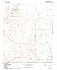
1978 Map of Zion Reservoir
USGS Topo · Published 1984About this map
St Johns anchors the southeastern corner of this high desert landscape, serving as a hub of irrigation and transport in the late 1970s and early 1980s. The Little Colorado River meanders across the territory, its flow managed by a complex network of channels including the Upper Lyman Ditch, Middle Lyman Ditch, and Lower Lyman Ditch. These waterways support the local agricultural economy, visible through the proximity of the County Fairgrounds near the town center.
Find a feature on this map
21 named features on this map. Tap any name to fly to it.
Don’t see what you’re looking for? This feature index may not catch every label — zoom into the map to look around manually.
Map Details
Editions of this 1978 Zion Reservoir Map
2 editions found
Other maps of this area

1886 · St Johns
USGS Topo · 1:250,000

1892 · St Johns
USGS Topo · 1:250,000

1954 · Saint Johns
USGS Topo · 1:250,000

1955 · Adamana 4 NE
USGS Topo · 1:24,000

1955 · Wolford Springs 3 NW
USGS Topo · 1:24,000

1955 · Adamana 4 SE
USGS Topo · 1:24,000

1955 · Wolford Springs 3 SW
USGS Topo · 1:24,000

1955 · Hunt
USGS Topo · 1:62,500

1957 · Saint Johns
USGS Topo · 1:250,000

1958 · Saint Johns
USGS Topo · 1:250,000