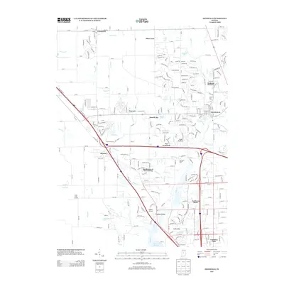
2013 Map of Zionsville
USGS Topo · Published 2013About this map
Zionsville and Whitestown anchor this 2013 survey of the developing landscape northwest of Indianapolis. The area is defined by a network of suburban settlements such as Stonegate, Royalton, and The Woodlands, interspersed with older landmarks like the local Cemetery and the Ohio Valley Institute Camp. The terrain is drained by a complex system of waterways, including Eagle Creek and its many branches like Little Eagle Creek and Fishback Creek, which flow toward the significant Eagle Creek Reservoir at the southern edge. The map reveals the expansion of residential developments such as Hawthornes at the Crossing and Northwest Manor alongside traditional rural features like Fuller Field Airport. This layout illustrates the transition of the region from its agricultural roots to a modern suburban corridor, preserving names like Fox Hollow and Traders Point while detailing the modern street grids of Lakeside and Legendary Hills.
Find a feature on this map
274 named features on this map. Tap any name to fly to it.
Don’t see what you’re looking for? This feature index may not catch every label — zoom into the map to look around manually.
Map Details
Editions of this 2013 Zionsville Map
This is the sole edition of this map. No revisions or reprints were ever made.
Other maps of this area

1948 · Indianapolis West
USGS Topo · 1:24,000

1952 · Carmel
USGS Topo · 1:24,000

1953 · Westfield
USGS Topo · 1:24,000

1953 · Fayette
USGS Topo · 1:24,000

1953 · Rosston
USGS Topo · 1:24,000

1953 · Brownsburg
USGS Topo · 1:24,000

1953 · Zionsville
USGS Topo · 1:24,000

1953 · Lebanon
USGS Topo · 1:24,000

1953 · Clermont
USGS Topo · 1:24,000

1953 · Danville
USGS Topo · 1:250,000
Featured Places
- Indianapolis, IN
- Zionsville, IN
- Whitestown, IN
- Legendary Hills, Indianapolis
- Traders Point, Indianapolis