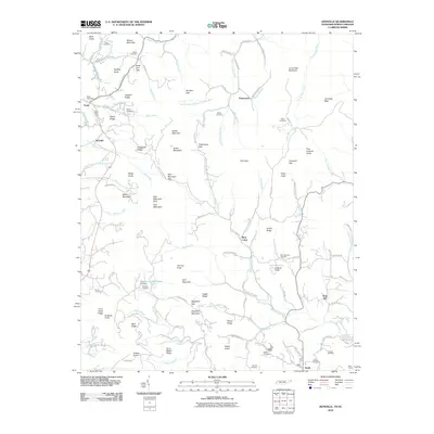
2010 Map of Zionville
USGS Topo · Published 2010About this map
Trade and Zionville anchor this survey along the high ridgelines where the Tennessee and North Carolina borders meet. The landscape is defined by its deep gaps and prominent peaks, including the high elevation of Snake Mountain and the distinct profile of Elk Knob. In this rural highland, the settlement pattern follows the drainage of Roan Creek and Cove Creek, with several small communities like Pottertown and Meat Camp established at important junctions. Genealogists will find a high density of family and community burial grounds, such as Greene Cemetery, Barnes Cemetery, and Skyland Cemetery, often located on the lower slopes of ridges like Hessian Ridge and Poplar Ridge. The presence of the Trade Post Office and Hopewell Church suggests these were the social and service hubs for the surrounding mountain farms and homesteads.
Find a feature on this map
128 named features on this map. Tap any name to fly to it.
Don’t see what you’re looking for? This feature index may not catch every label — zoom into the map to look around manually.
Map Details
Editions of this 2010 Zionville Map
This is the sole edition of this map. No revisions or reprints were ever made.
Other maps of this area

1893 · Cranberry
USGS Topo · 1:125,000

1895 · Cranberry
USGS Topo · 1:125,000

1899 · Cranberry
USGS Topo · 1:125,000

1902 · Cranberry
USGS Topo · 1:125,000

1934 · Valle Crucis
USGS Topo · 1:24,000

1934 · Boone
USGS Topo · 1:24,000

1935 · Baldwin Gap
USGS Topo · 1:24,000

1935 · Doe Mountain
USGS Topo · 1:48,000

1935 · Sherwood
USGS Topo · 1:24,000

1935 · Zionville
USGS Topo · 1:24,000