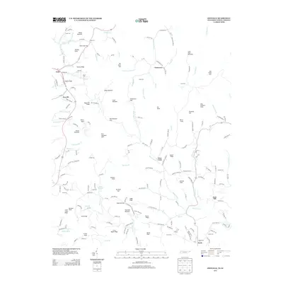
2013 Map of Zionville
USGS Topo · Published 2013About this map
Trade and Zionville anchor the high country where the Tennessee and North Carolina borders meet, marking a landscape defined by significant ridges and gaps. The South Branch N Fork New River and Roan Cr drain these steep slopes, which are populated by family-named landmarks like Hessian Ridge, Sugartree Ridge, and Poplar Ridge. Small mountain communities such as Pottertown, Meat Camp, and Sands are connected by narrow winding roads like Old Buffalo TRL and Hopewell Church Rd.
Find a feature on this map
191 named features on this map. Tap any name to fly to it.
Don’t see what you’re looking for? This feature index may not catch every label — zoom into the map to look around manually.
Map Details
Editions of this 2013 Zionville Map
This is the sole edition of this map. No revisions or reprints were ever made.
Other maps of this area

1893 · Cranberry
USGS Topo · 1:125,000

1895 · Cranberry
USGS Topo · 1:125,000

1899 · Cranberry
USGS Topo · 1:125,000

1902 · Cranberry
USGS Topo · 1:125,000

1934 · Valle Crucis
USGS Topo · 1:24,000

1934 · Boone
USGS Topo · 1:24,000

1935 · Baldwin Gap
USGS Topo · 1:24,000

1935 · Doe Mountain
USGS Topo · 1:48,000

1935 · Sherwood
USGS Topo · 1:24,000

1935 · Zionville
USGS Topo · 1:24,000