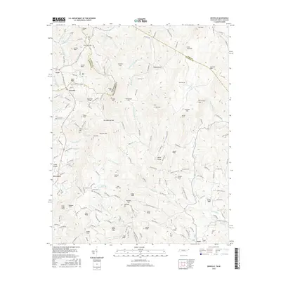
2016 Map of Zionville
USGS Topo · Published 2016About this map
Trade and Zionville anchor the western edge of this survey where the high country of Tennessee and North Carolina meet. The landscape is defined by the steep relief of the Blue Ridge, with prominent peaks like Snake Mtn and Elk Knob rising above the headwaters of the N Fork New River and Roan Cr. This topography dictated the settlement patterns of the region, where family-named cemeteries such as Maine Cem, Greene Cem, and Culler Cem are tucked into the valleys and ridges near crossroads like Meat Camp and Pottertown. The map captures a high-elevation pastoral and forest environment, showing the complex web of local roads like Howards Creek Rd and Sugarloaf Rd that connected these remote mountain communities well into the modern era.
Find a feature on this map
183 named features on this map. Tap any name to fly to it.
Don’t see what you’re looking for? This feature index may not catch every label — zoom into the map to look around manually.
Map Details
Editions of this 2016 Zionville Map
This is the sole edition of this map. No revisions or reprints were ever made.
Other maps of this area

1893 · Cranberry
USGS Topo · 1:125,000

1895 · Cranberry
USGS Topo · 1:125,000

1899 · Cranberry
USGS Topo · 1:125,000

1902 · Cranberry
USGS Topo · 1:125,000

1934 · Valle Crucis
USGS Topo · 1:24,000

1934 · Boone
USGS Topo · 1:24,000

1935 · Baldwin Gap
USGS Topo · 1:24,000

1935 · Doe Mountain
USGS Topo · 1:48,000

1935 · Sherwood
USGS Topo · 1:24,000

1935 · Zionville
USGS Topo · 1:24,000