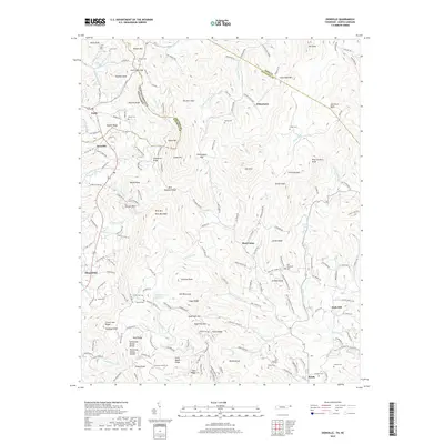
2019 Map of Zionville
USGS Topo · Published 2019About this map
The North Carolina Tennessee state line cuts directly through this high-altitude landscape, separating Trade and Zionville in the west from eastern settlements like Meat Camp and Soda Hill. The rugged geography is defined by the Tennessee Valley Divide, a major drainage boundary that snakes past Grassy Knob and Wolf Ridge. Waterways flow in divergent directions from these heights, including the headwaters of the South Fork New River and Roan Creek. The map reveals a dense network of family-named landmarks and cemeteries, such as the Greer Cemetery near Buck Knob and the Old Hopewell Cemetery, reflecting deep-rooted generational ties to the mountain hollows. Local education is centered at the Mabel School, while various ridges like Hessian Ridge and Sugartree Ridge provide a glimpse into the historic naming conventions of this Appalachian borderland.
Find a feature on this map
177 named features on this map. Tap any name to fly to it.
Don’t see what you’re looking for? This feature index may not catch every label — zoom into the map to look around manually.
Map Details
Editions of this 2019 Zionville Map
This is the sole edition of this map. No revisions or reprints were ever made.
Other maps of this area

1893 · Cranberry
USGS Topo · 1:125,000

1895 · Cranberry
USGS Topo · 1:125,000

1899 · Cranberry
USGS Topo · 1:125,000

1902 · Cranberry
USGS Topo · 1:125,000

1934 · Valle Crucis
USGS Topo · 1:24,000

1934 · Boone
USGS Topo · 1:24,000

1935 · Baldwin Gap
USGS Topo · 1:24,000

1935 · Doe Mountain
USGS Topo · 1:48,000

1935 · Sherwood
USGS Topo · 1:24,000

1935 · Zionville
USGS Topo · 1:24,000