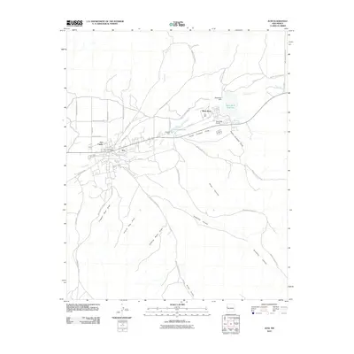
2010 Map of Zuni
USGS Topo · Published 2010About this map
The ancient cultural landscape of the Zuni People is centered around the Zuni Pueblo and the adjacent community of Zuni. This territory is defined by the course of the Zuñi River, which feeds the Black Rock Reservoir via the Black Rock Dam. The modern infrastructure of the early 21st century is evident in the dense network of Indian Service Routes and the Black Rock Airport, which serve this tribal hub.
Find a feature on this map
41 named features on this map. Tap any name to fly to it.
Don’t see what you’re looking for? This feature index may not catch every label — zoom into the map to look around manually.
Map Details
Editions of this 2010 Zuni Map
This is the sole edition of this map. No revisions or reprints were ever made.
Other maps of this area

1886 · Wingate
USGS Topo · 1:250,000

1892 · Wingate
USGS Topo · 1:250,000

1954 · Saint Johns
USGS Topo · 1:250,000

1954 · Gallup
USGS Topo · 1:250,000

1957 · Saint Johns
USGS Topo · 1:250,000

1958 · Gallup
USGS Topo · 1:250,000

1958 · Saint Johns
USGS Topo · 1:250,000

1959 · Gallup
USGS Topo · 1:250,000

1962 · Gallup
USGS Topo · 1:250,000

1962 · Saint Johns
USGS Topo · 1:250,000