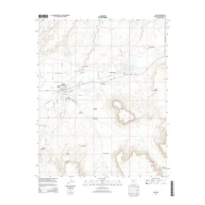
2013 Map of Zuni
USGS Topo · Published 2013About this map
Zuni Pueblo and the surrounding high desert of McKinley County are the focus of this 2013 survey, detailing the traditional heart of the Zuni people. The landscape is defined by massive mesas and intricate drainage systems, most notably the towering Dowa Yalanne which overlooks the river valley. The Zuni River winds through the center of the sheet, feeding the Black Rock Reservoir near the settlement of Black Rock. The map illustrates the contemporary infrastructure of the Pueblo, including the Black Rock Airport and a dense network of local roads such as Shalako Drive and Pia Mesa Road. Surrounding the residential areas are numerous named topographical features like Galestina Canyon, Peach Orchard Draw, and Stinking Water Draw, reflecting a deep connection to the specific geography of the Zuni Reservation.
Find a feature on this map
53 named features on this map. Tap any name to fly to it.
Don’t see what you’re looking for? This feature index may not catch every label — zoom into the map to look around manually.
Map Details
Editions of this 2013 Zuni Map
This is the sole edition of this map. No revisions or reprints were ever made.
Other maps of this area

1886 · Wingate
USGS Topo · 1:250,000

1892 · Wingate
USGS Topo · 1:250,000

1954 · Saint Johns
USGS Topo · 1:250,000

1954 · Gallup
USGS Topo · 1:250,000

1957 · Saint Johns
USGS Topo · 1:250,000

1958 · Gallup
USGS Topo · 1:250,000

1958 · Saint Johns
USGS Topo · 1:250,000

1959 · Gallup
USGS Topo · 1:250,000

1962 · Gallup
USGS Topo · 1:250,000

1962 · Saint Johns
USGS Topo · 1:250,000