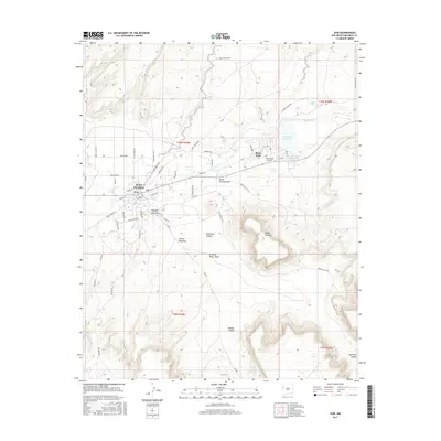
2017 Map of Zuni
USGS Topo · Published 2017About this map
Zuni Pueblo serves as the focal point of this tribal landscape, where the historic settlement meets the modern community along the Zuni River. The terrain is defined by a series of dramatic geographic features, most notably the massive Dowa Yalanne mesa which looms south of the pueblo. Water management is a central theme of the area, visible through the Black Rock Reservoir and Eustace Lake, which collect runoff from various ephemeral drainages like Oak Wash and Peach Orchard Draw.
Find a feature on this map
50 named features on this map. Tap any name to fly to it.
Don’t see what you’re looking for? This feature index may not catch every label — zoom into the map to look around manually.
Map Details
Editions of this 2017 Zuni Map
This is the sole edition of this map. No revisions or reprints were ever made.
Other maps of this area

1886 · Wingate
USGS Topo · 1:250,000

1892 · Wingate
USGS Topo · 1:250,000

1954 · Saint Johns
USGS Topo · 1:250,000

1954 · Gallup
USGS Topo · 1:250,000

1957 · Saint Johns
USGS Topo · 1:250,000

1958 · Gallup
USGS Topo · 1:250,000

1958 · Saint Johns
USGS Topo · 1:250,000

1959 · Gallup
USGS Topo · 1:250,000

1962 · Gallup
USGS Topo · 1:250,000

1962 · Saint Johns
USGS Topo · 1:250,000