Old Maps of La Torre, Lares for Academic Research
Study the evolution of La Torre with 28 high-resolution historic maps. Whether you're teaching, researching, or modeling changes in land use, these maps provide essential visual documentation of urban, environmental, and geographic change.
- Analyze long-term change: Track patterns in development, transportation, and natural features.
- Ideal for environmental or urban studies: Support academic projects with primary historical map data.
- Use in the classroom or lab: Educators and researchers rely on these maps to bring historical context to life.
These maps are a powerful tool for teaching, research, and visualizing how La Torre has changed over the decades.
La Torre, Lares maps
(28)- 1938 Map of San Sebastian
 1938 San Sebastian1938 Print · USGSSan Sebastian and the surrounding highlands are captured in the late 1930s during a time of rural growth and agricultural production. Researchers can locate dozens of country schools, family estates like Hacienda Buena Vista, and the path of the Central Soller RR.
 - 1941 Map of San Sebastian
 1941 San Sebastian1941 Print · USGSWestern Puerto Rico is captured here in the early 1940s, highlighting the agricultural heartbeat and social centers of the interior. Researchers can trace historic family-named estates like Hacienda San Pedro and Hacienda Espino or locate the industrial Central Soler.5 unique versions available
 - 1946 Map of Maricao
 1946 Maricao1946 Print · USGSMaricao and the western ridges of the Cordillera Central are shown in detail during the 1940s, highlighting the island's traditional plantation culture. Researchers can locate numerous family estates like Hacienda San Antonio and schools such as the Segunda Unidad Escuela Vocacional Francisco Vicenty.3 unique versions available
 - 1946 Map of Bayaney
 1946 Bayaney1946 Print · USGSThe interior highlands of Puerto Rico are detailed here in the late 1940s, showcasing a landscape of isolated ridges and river-valley settlements. Researchers can trace local history through named rural schools like Escuela La America and settlements such as Angeles and Bayaney.4 unique versions available
 - 1946 Map of Monte Guilarte
 1946 Monte Guilarte1946 Print · USGSThe mountain interior of Puerto Rico near Adjuntas is captured here in the mid-1940s, showing a landscape defined by traditional plantation estates. Researchers can trace dozens of family-named sites like Hacienda Juanita and Hacienda Rosario or locate local landmarks like the Iglesia Monserrate.3 unique versions available
 - 1947 Map of Maricao NE
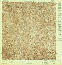 1947 Maricao NE1947 Print · USGSThe mountainous coffee-growing region of interior Puerto Rico is captured here in the mid-1940s, just as traditional estate-based land tenure remained central to the economy. Genealogists and historians can trace family ties through several named estates, including Hacienda Lealtad, Hacienda Santiago, and the Iglesia Miraflores.
 - 1947 Map of Monte Guilarte NO
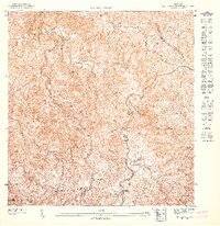 1947 Monte Guilarte NO1947 Print · USGSThe coffee highlands of Lares and Utuado are captured in detail in the late 1940s. Genealogists can trace family heritage through numerous named agricultural estates like Hacienda Vilella, Hacienda Elisa, and the Iglesia de La Virgen Maria.
 - 1947 Map of Bayaney SO
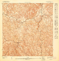 1947 Bayaney SO1947 Print · USGSLares and Utuado are documented here in the late 1940s, showing the intricate mountain topography and rural school system of the era. Researchers can trace the paths of the Rio Guajataca and Rio de Lares or locate rural landmarks like Escuela La America.
 - 1950 Map of San Sebastian SE
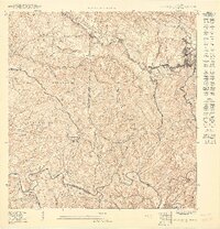 1950 San Sebastian SE1950 Print · USGSLares and the surrounding coffee highlands are shown here in the mid-twentieth century as traditional agricultural estates still anchored the local economy. Genealogists can trace family connections to rural barrios and historic estates like Hacienda Esperanza, Hacienda San Pedro, and the Escuela Narciso Rabell Cabrero.
 - 1952 Map of Bayaney
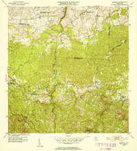 1952 Bayaney1952 Print · USGSThe mountains of north-central Puerto Rico appear in detail during the early fifties, showing a landscape defined by karst terrain and rural barrios. Genealogists can trace family footprints near Bayaney, Angeles, and family-named schools like Escuela Virgilio Acevedo.2 unique versions available
 - 1952 Map of Monte Guilarte, 1953 Print
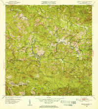 1952 Monte Guilarte1953 Print · USGSThe Cordillera Central mountains of Puerto Rico are mapped here in the early fifties during a period of robust rural agricultural life. Genealogists and historians can trace dozens of family estates, including Hacienda Indiera, Hacienda Balerosa, and the Hospital General de Castaner.2 unique versions available
 - 1952 Map of Maricao, 1953 Print
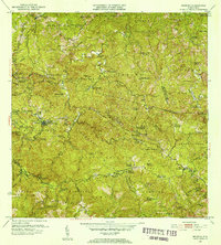 1952 Maricao1953 Print · USGSWestern Puerto Rico’s coffee country is mapped in the early fifties, showing a landscape defined by traditional haciendas and emerging mid-century infrastructure. Genealogists and historians can trace family-named estates like Hacienda Lealtad and Hacienda Santa Rita alongside landmarks like the Criadero Insular de Peces.2 unique versions available
 - 1957 Map of Bayaney, 1960 Print
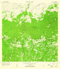 1957 Bayaney1960 Print · USGSNorthwestern Puerto Rico’s interior barrios are captured here during a period of steady rural development in the late fifties. Genealogists can locate family-named landmarks and institutions like Escuela Segunda Unidad de Josefa Linares, Iglesia Cristo Rey, and Matilde.2 unique versions available
 - 1958 Map of San Sebastian, 1960 Print
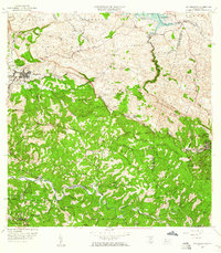 1958 San Sebastian1960 Print · USGSSan Sebastián and the surrounding highlands are captured in the late fifties during a period of industrial and agricultural transition. Researchers can trace ancestral lands through numerous named estates like Hacienda Esperanza or visit the grounds of Central Soller.3 unique versions available
 - 1960 Map of Maricao, 1961 Print
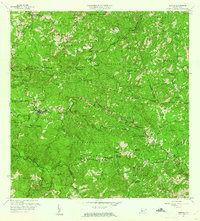 1960 Maricao1961 Print · USGSThe mountains of western Puerto Rico are captured here in the early sixties, showing the agricultural heritage of Maricao. Genealogists can trace family lands across Hacienda Lealtad, Hacienda Santa Rita, and Pueblo Nuevo.3 unique versions available
 - 1960 Map of Monte Guilarte, 1962 Print
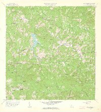 1960 Monte Guilarte1962 Print · USGSThe central highlands of Adjuntas and Lares are shown here in the early 1960s, a landscape defined by traditional mountain agriculture. Genealogists and historians can trace scores of family estates and rural institutions, from Hacienda Monserrate and Hacienda Buena Vista to the Escuela Mariana Bracetti.4 unique versions available
 - 1970 Map of Bayaney, 1973 Print
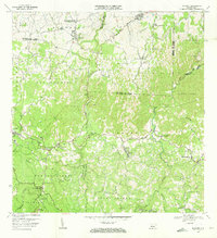 1970 Bayaney1973 Print · USGSThe limestone hills and river valleys south of Hatillo come to life in the early seventies, showing a landscape of coffee-country barrios and mountain schools. Trace ancestral roots through Angeles, Bayaney, and landmarks like the Observatorio de Arecibo.3 unique versions available
 - 2013 Map of San Sebastian, 2013 Print
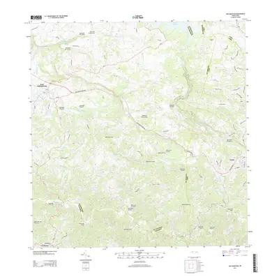 2013 San Sebastian2013 Print · USGSModern Puerto Rico’s interior comes into focus as the municipalities of the northwest highlands expanded in the early 2000s. Researchers can trace the rugged drainages of Rio Culebrinas or locate specific local landmarks like Central Soller and the town of Lares.
 - 2013 Map of Monte Guilarte, 2013 Print
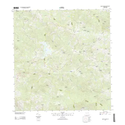 2013 Monte Guilarte2013 Print · USGSThe Central Mountain Range of Puerto Rico is captured here in the early twenty-first century, showcasing a landscape of high peaks and deep river headwaters. Researchers can trace local homesteads and access routes along Camino Damian Rodriguez or find the secluded Lago Guayo and the Adjuntas Airport.
 - 2013 Map of Maricao, 2013 Print
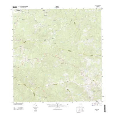 2013 Maricao2013 Print · USGSMaricao and the surrounding high-altitude interior of Puerto Rico are shown here in the early twenty-first century. Genealogists and local historians can trace the roads and waterways connecting Maricao and Las Marías to landmarks like Pico Santa Ana and Los Barros.
 - 2013 Map of Bayaney, 2013 Print
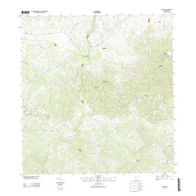 2013 Bayaney2013 Print · USGSThe northern karst region of Puerto Rico is captured here in the early twenty-first century, showing the intersection of science and rural life. Researchers can locate the iconic Observatorio de Arecibo and dramatic geological features like the Tres Pueblos Sinkhole and Cerro Palma.
 - 2018 Map of Maricao, 2018 Print
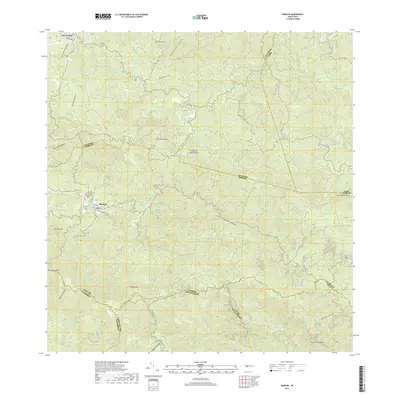 2018 Maricao2018 Print · USGSThe mountainous interior of Puerto Rico is captured here in the late 2010s, showing the intersection of several municipal districts. Researchers can trace the steep geography of Sierra de Naranjal and find local landmarks such as the Cementerio Municipal De Maricao and Pico Santa Ana.
 - 2018 Map of Monte Guilarte, 2018 Print
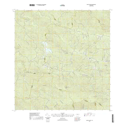 2018 Monte Guilarte2018 Print · USGSThe central mountains of Puerto Rico are mapped in detail during the late 2010s, showcasing the high peaks and river valleys of the interior. Researchers can locate the Cementerio Municipal Yahuecas, trace roads like Carr La Balea, and identify landmarks such as Monte Guilarte.
 - 2018 Map of Bayaney, 2018 Print
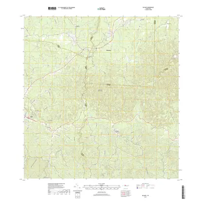 2018 Bayaney2018 Print · USGSThe northern karst region of Puerto Rico is captured here in the late 2010s, showcasing the intersection of the Camuy, Lares, and Utuado municipalities. Researchers can trace rural road networks and local landmarks like the Tres Pueblos Sinkhole, Cementerio de Angeles, and the headwaters of Rio Camuy.
 - 2024 Map of Maricao, 2024 Print
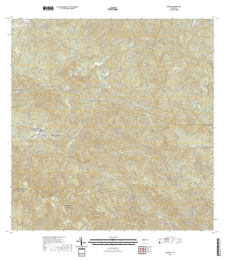 2024 Maricao2024 Print · USGSMaricao and the surrounding highlands are captured in this recent survey of western Puerto Rico. Researchers can trace local landmarks and residential sites like Pueblo Nuevo, Campamento Santana, and the Cementerio Municipal De Maricao.
Showing maps 1-25 of 28
Frequently asked questions
- What are the different types of historical maps available for La Torre?
- What is the oldest map of La Torre?
- Where can I purchase historical maps of La Torre for my home or office?
- Where can I download high-res historical maps of La Torre?
- Are there historical topographic maps available for La Torre?
- Is there historical aerial imagery available for La Torre?
- Where are historical maps of La Torre sourced from?