Old Maps of Locust Fork, Alabama for Genealogy
Trace your family roots with 39 historic maps of Locust Fork. These high-res maps reveal old neighborhoods, homesites, landmarks, and streets — helping you uncover where your ancestors lived and how the area evolved over time.
- Explore historic neighborhoods: Identify where your relatives may have lived in the 1800s or 1900s.
- Compare maps over time: Trace the changes in streets, buildings, and landmarks for multi-generational research.
- Perfect for genealogy & ancestry research: Used by family historians and researchers to map out lineage and migration.
These maps are an incredible resource for exploring your personal connection to Locust Fork's past.
Locust Fork, AL maps
(39)- 1889 Map of Birmingham
 1889 Birmingham1889 Print · USGSIn the late nineteenth century, the Iron City was a growing urban core surrounded by intensive extraction sites and river crossings. Trace early industrial footprints at the Pratt Mines, Sloss Quarry, and the Old Irondale Furnace.
 - 1892 Map of Birmingham
 1892 Birmingham1892 Print · USGSBirmingham and the surrounding iron district emerge in the late nineteenth century as a hub of heavy industry and rail expansion. Trace the early footprints of the Sloss Mine, locate river crossings like Doss Ferry, and find family-named landmarks like Hanby Mill.
 - 1895 Map of Birmingham
 1895 Birmingham1895 Print · USGSBirmingham at the peak of its industrial boom is captured here as the city’s rail and mining networks spread through the surrounding valleys. Researchers can trace early iron production at Old Irondale Furnace or locate family roots at Doss Ferry and Pratt Mines.2 unique versions available
 - 1907 Map of Birmingham
 1907 Birmingham1907 Print · USGSJefferson and Blount counties are shown in the early twentieth century as the industrial heart of Alabama was taking shape. Genealogists can trace family roots through named landmarks like Box Schoolhouse, Watson PO, and the coal works at Watts Mines.5 unique versions available
 - 1953 Map of Birmingham, 1964 Print
 1953 Birmingham1964 Print · USGSCentral Alabama at mid-century shows a landscape defined by industrial expansion and the iron-rich ridges surrounding Birmingham. Researchers can trace the extensive rail networks of the L & N RR or locate historic federal sites like the Anniston Ordnance Depot.4 unique versions available
 - 1956 Map of Birmingham
 1956 Birmingham1956 Print · USGSCentral Alabama in the mid-fifties exhibits a landscape of growing cities and deep-rooted industrial corridors. Genealogists and historians can trace the development of suburban Mountain Brook or locate regional hubs like Sylacauga and Jasper.
 - 1957 Map of Birmingham
 1957 Birmingham1957 Print · USGSNorth-Central Alabama in the mid-fifties is an industrial powerhouse centered on the steel valleys and sprawling iron ridges. Genealogists and historians can trace the rail-linked growth of Birmingham and Tuscaloosa, or locate rural landmarks like Talladega College and the Anniston Ordnance Depot.
 - 1958 Map of Cleveland, 1961 Print
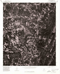
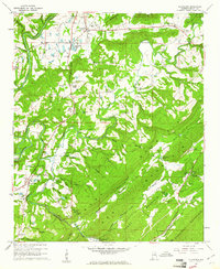 1958 Cleveland1961 Print · USGSThe Blount County landscape in the late fifties is defined by the winding Locust Fork and the ridges of Sand Mountain. Genealogists can trace family roots at Chitwood Cem, Daileys Chapel, and the old Hendrick Mill.3 unique versions available
 - 1960 Map of Remlap, 1963 Print
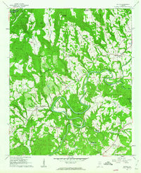
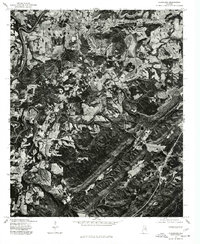
 1960 Remlap1963 Print · USGSCentral Alabama's ridges and valleys are meticulously detailed in the early 1960s, showing the intersection of rural life and early industrial expansion. Trace family history at Pleasant Mount Ch or explore the geography of Remlap and Inland Reservoir.6 unique versions available
 - 1961 Map of Nectar, 1963 Print
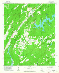
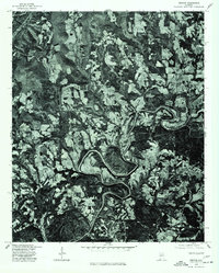
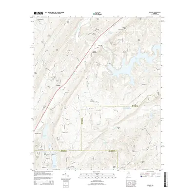
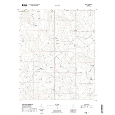
 1961 Nectar1963 Print · USGSBlount County communities thrived along the winding Locust Fork in the early sixties. Genealogists and historians can trace family-named sites like McAnally Cove, the Covered Bridge, and rural landmarks from Wallstown to Nectar.3 unique versions available
 - 1961 Map of Trafford, 1963 Print
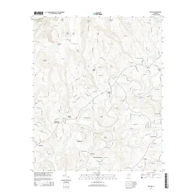
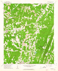 1961 Trafford1963 Print · USGSThe rural coal and rail corridors north of Birmingham are frozen in time during the early sixties. Genealogists and local historians can trace family locations through numerous sites like Bradford (Dixiana PO), Sterling Sch, and the Masseyline Cem.5 unique versions available
 - 1975 Map of Nectar, 1977 Print
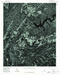
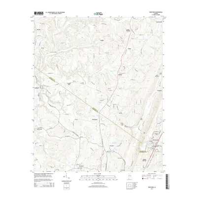
 1975 Nectar1977 Print · USGSBlount County land use and river geography are captured in detail during the mid-seventies. Researchers can trace the sharp meanders of the Locust Fork and locate rural homesteads around Nectar, Locust, and Ville.
 - 1975 Map of Trafford, 1977 Print
 1975 Trafford1977 Print · USGSNorth-central Alabama comes into clear focus in the mid-seventies through this detailed orthophotograph. Genealogists and land researchers can trace the settlement of Trafford and the winding path of the Locus watercourse.
 - 1975 Map of Remlap, 1977 Print
 1975 Remlap1977 Print · USGSBlount County in the mid-seventies is captured in this detailed orthophoto, revealing the rural character of the Alabama landscape. Researchers can trace the sprawling reach of INLAND LAKE and find the small settlement of REMLAP along the western ridge.
 - 1975 Map of Cleveland, 1977 Print
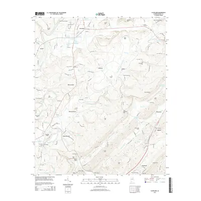
 1975 Cleveland1977 Print · USGSMid-1970s Blount County comes into sharp focus in this aerial orthophotomap, showing the rural landscape around Cleveland as it appeared before modern development. Trace the winding Locust Fork and the settlement patterns near Allgood.
 - 1984 Map of Birmingham North, 1985 Print
 1984 Birmingham North1985 Print · USGSNorth Alabama in the mid-eighties shows the bustling intersection of the Appalachian foothills and the Deep South's industrial heart. Genealogists and historians can trace the paths of the Southern Railway and Seaboard System Railroad through towns like Oneonta, Leeds, and Springville.2 unique versions available
 - 2011 Map of Remlap, 2011 Print
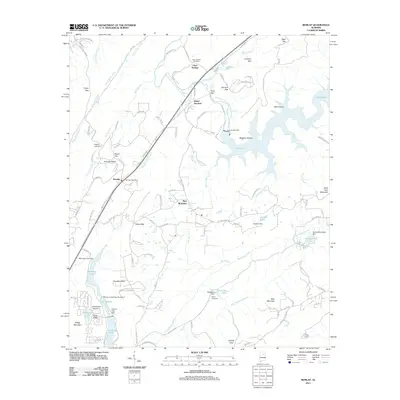 2011 Remlap2011 Print · USGSCovers Locust Fork, including Clay, Pinson, and other nearby areas
 - 2011 Map of Cleveland, 2011 Print
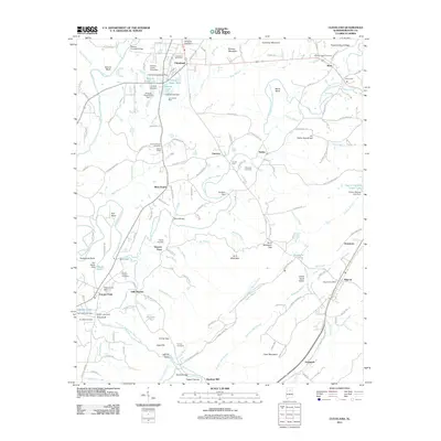 2011 Cleveland2011 Print · USGSCovers Locust Fork, including Oneonta, Cleveland, and other nearby areas
 - 2011 Map of Trafford, 2011 Print
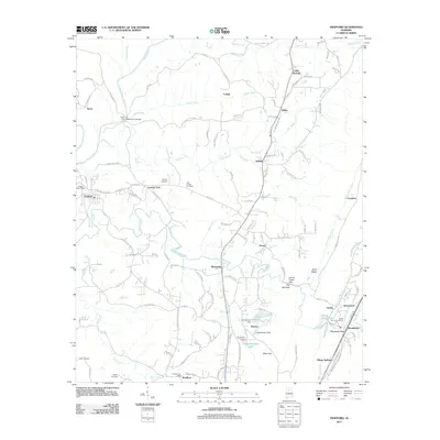 2011 Trafford2011 Print · USGSCovers Locust Fork, including Pinson, Hayden, and other nearby areas
 - 2011 Map of Nectar, 2011 Print
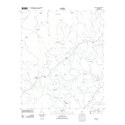 2011 Nectar2011 Print · USGSCovers Locust Fork, including Hayden, Garden City, and other nearby areas
 - 2014 Map of Remlap, 2014 Print
 2014 Remlap2014 Print · USGSCovers Locust Fork, including Clay, Pinson, and other nearby areas
 - 2014 Map of Nectar, 2014 Print
 2014 Nectar2014 Print · USGSCovers Locust Fork, including Hayden, Garden City, and other nearby areas
 - 2014 Map of Cleveland, 2014 Print
 2014 Cleveland2014 Print · USGSCovers Locust Fork, including Oneonta, Cleveland, and other nearby areas
 - 2014 Map of Trafford, 2014 Print
 2014 Trafford2014 Print · USGSCovers Locust Fork, including Pinson, Hayden, and other nearby areas
 - 2018 Map of Nectar, 2018 Print
 2018 Nectar2018 Print · USGSCovers Locust Fork, including Hayden, Garden City, and other nearby areas
Showing maps 1-25 of 39
Top cities near Locust Fork
- Birmingham historical maps
- Trussville historical maps
- Cullman historical maps
- Center Point historical maps
- Gardendale historical maps
- Clay historical maps
See more
Frequently asked questions
- What are the different types of historical maps available for Locust Fork?
- What is the oldest map of Locust Fork?
- Where can I purchase historical maps of Locust Fork for my home or office?
- Where can I download high-res historical maps of Locust Fork?
- Are there historical topographic maps available for Locust Fork?
- Is there historical aerial imagery available for Locust Fork?
- Where are historical maps of Locust Fork sourced from?