2000s (21st Century) Maps of Snead, Alabama
Explore 18 historic maps of Snead from the 2000s (21st Century). These maps offer a rare glimpse into what life looked like during the 2000s — showing old roads, neighborhoods, homes, and landmarks that have changed or disappeared over time.
Whether you're researching your family's past, planning a metal detecting trip, or studying how Snead's landscape evolved across the 2000s, these high-resolution maps are a powerful tool for exploring the history of this region.
- Focus on a specific era: All maps on this page are from the 2000s, giving you a focused view of this time period.
- See what’s changed: Compare century-old streets, trails, and buildings to today's modern landscape using overlays and satellite layers.
- Research with precision: Use these maps for genealogy, historical research, land use analysis, or educational projects.
- View, download, or print: Maps are fully viewable online in high resolution, and can be downloaded or printed for your own records.
Start exploring Snead's history through authentic maps from the 2000s. This is your window into the past.
Snead, AL maps
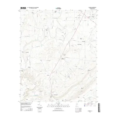
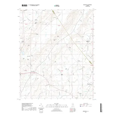
(18)- 2011 Map of Brooksville, 2011 Print
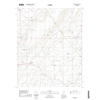
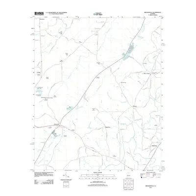 2011 Brooksville2011 Print · USGSCovers Snead, including Nixon Chapel, Bright Star, and other nearby areas
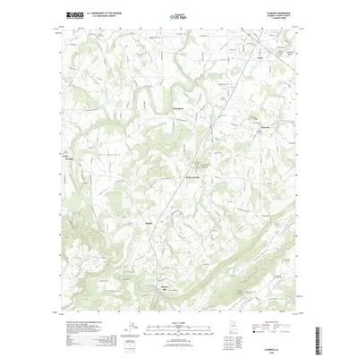
 - 2011 Map of Clarence, 2011 Print
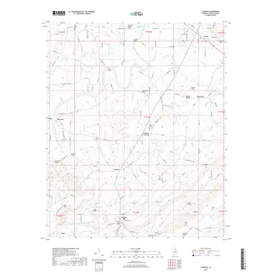
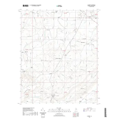
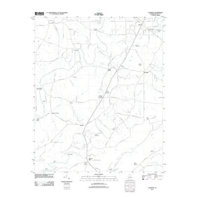 2011 Clarence2011 Print · USGSCovers Snead, including Susan Moore, Rosa, and other nearby areas
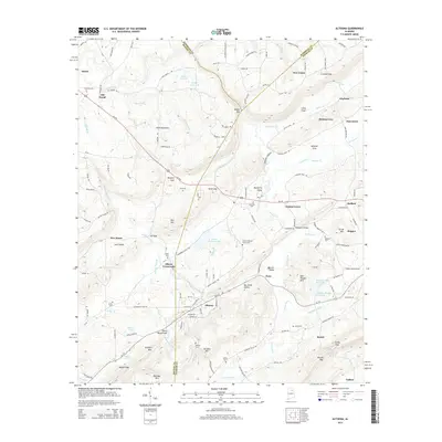
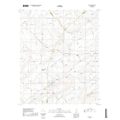
 - 2011 Map of Altoona, 2011 Print
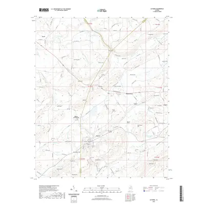
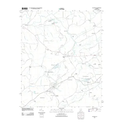 2011 Altoona2011 Print · USGSCovers Snead, including New Union, Altoona, and other nearby areas
 - 2014 Map of Brooksville, 2014 Print
 2014 Brooksville2014 Print · USGSCovers Snead, including Nixon Chapel, Bright Star, and other nearby areas
 - 2014 Map of Clarence, 2014 Print
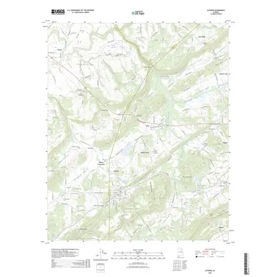
 2014 Clarence2014 Print · USGSCovers Snead, including Susan Moore, Rosa, and other nearby areas
 - 2014 Map of Altoona, 2014 Print
 2014 Altoona2014 Print · USGSCovers Snead, including New Union, Altoona, and other nearby areas
 - 2018 Map of Brooksville, 2018 Print
 2018 Brooksville2018 Print · USGSCovers Snead, including Nixon Chapel, Bright Star, and other nearby areas
 - 2018 Map of Altoona, 2018 Print
 2018 Altoona2018 Print · USGSCovers Snead, including New Union, Altoona, and other nearby areas
 - 2018 Map of Clarence, 2018 Print
 2018 Clarence2018 Print · USGSCovers Snead, including Susan Moore, Rosa, and other nearby areas
 - 2020 Map of Brooksville, 2020 Print
 2020 Brooksville2020 Print · USGSCovers Snead, including Nixon Chapel, Bright Star, and other nearby areas
 - 2020 Map of Clarence, 2020 Print
 2020 Clarence2020 Print · USGSCovers Snead, including Susan Moore, Rosa, and other nearby areas
 - 2020 Map of Altoona, 2020 Print
 2020 Altoona2020 Print · USGSCovers Snead, including New Union, Altoona, and other nearby areas
 - 2024 Map of Altoona, 2024 Print
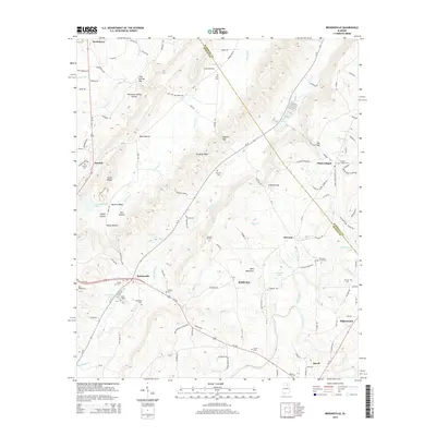
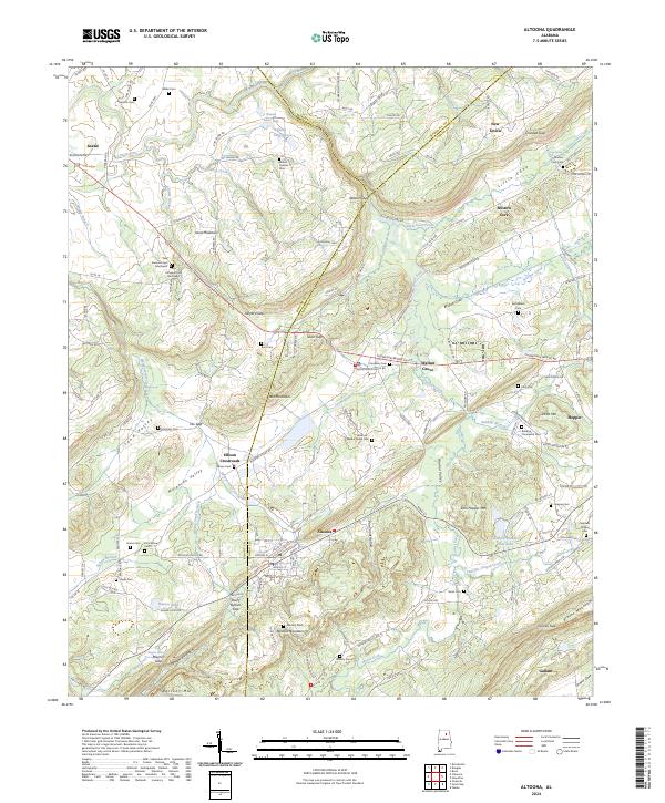 2024 Altoona2024 Print · USGSThe Alabama highlands near the tri-county border of Etowah, Blount, and Marshall counties are shown here as they appeared recently. Genealogists can trace family names through dozens of landmarks like Ellison Cem, Mount Carmel Cem, and the old settlement at Ellison Crossroads.
 - 2024 Map of Clarence, 2024 Print
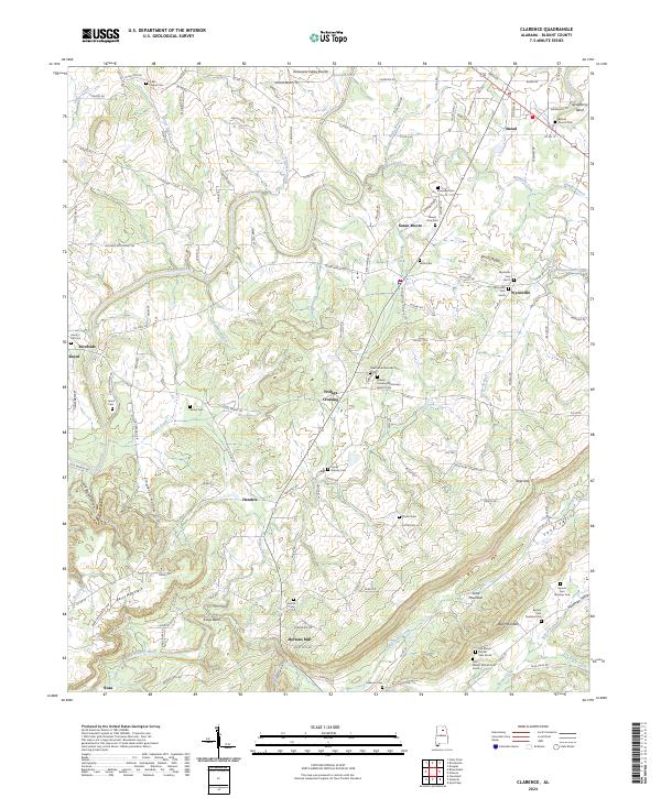 2024 Clarence2024 Print · USGSBlount County, Alabama, is documented here in a modern survey that reveals the deep-rooted rural settlement patterns of the Appalachian foothills. Genealogists and local historians can locate numerous family burial sites such as Lamb Cem, Painter Cem, and the community of Fridays Crossing.
 - 2024 Map of Brooksville, 2024 Print
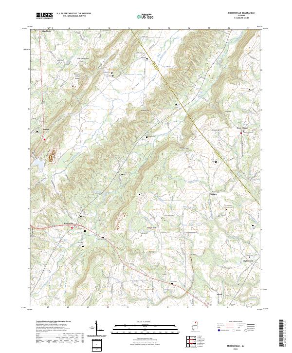 2024 Brooksville2024 Print · USGSBlount and Marshall counties meet here in a landscape defined by the Tennessee Valley Divide. Genealogists can trace family names at the Old Ebell Cem, Lambert Family Cem, and Brooksville Cem.
 - 2026 Map of Brooksville, 2026 Print
 2026 Brooksville2026 Print · USGSCovers Snead, including Nixon Chapel, Bright Star, and other nearby areas
 - 2026 Map of Clarence, 2026 Print
 2026 Clarence2026 Print · USGSCovers Snead, including Susan Moore, Rosa, and other nearby areas
 - 2026 Map of Altoona, 2026 Print
 2026 Altoona2026 Print · USGSCovers Snead, including New Union, Altoona, and other nearby areas
End of results
Showing maps 1-18 of 18
Top cities near Snead
- Albertville historical maps
- Rainbow City historical maps
- Boaz historical maps
- Guntersville historical maps
- Arab historical maps
- Oneonta historical maps
See more
Top neighborhoods of Snead
Frequently asked questions
- What are the different types of historical maps available for Snead?
- What is the oldest map of Snead?
- Where can I purchase historical maps of Snead for my home or office?
- Where can I download high-res historical maps of Snead?
- Are there historical topographic maps available for Snead?
- Is there historical aerial imagery available for Snead?
- Where are historical maps of Snead sourced from?