2020s Maps of Clay County, Alabama
Explore 34 historic maps of Clay County from the 2020s. These maps offer a rare glimpse into what life looked like during the 2020s — showing old roads, neighborhoods, homes, and landmarks that have changed or disappeared over time.
Whether you're researching your family's past, planning a metal detecting trip, or studying how Clay County's landscape evolved across the 2020s, these high-resolution maps are a powerful tool for exploring the history of this region.
- Focus on a specific era: All maps on this page are from the 2020s, giving you a focused view of this time period.
- See what’s changed: Compare century-old streets, trails, and buildings to today's modern landscape using overlays and satellite layers.
- Research with precision: Use these maps for genealogy, historical research, land use analysis, or educational projects.
- View, download, or print: Maps are fully viewable online in high resolution, and can be downloaded or printed for your own records.
Start exploring Clay County's history through authentic maps from the 2020s. This is your window into the past.
Clay County, AL maps
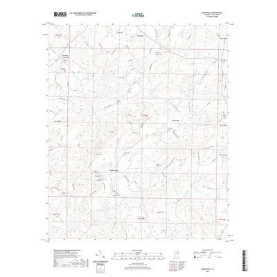
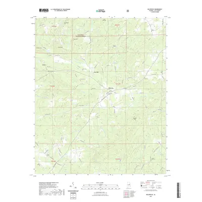
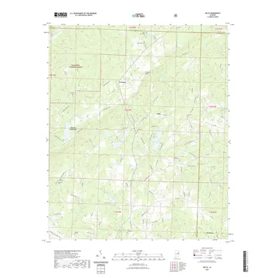
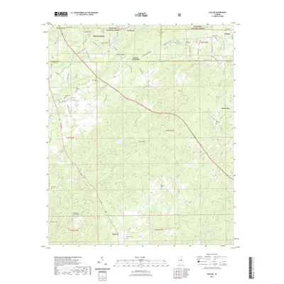
(34)- 2020 Map of Mellow Valley, 2020 Print
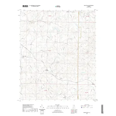 2020 Mellow Valley2020 Print · USGSCovers Clay County, including Cooley Crossroads, Mellow Valley, and other nearby areas
 - 2020 Map of Hackneyville, 2020 Print
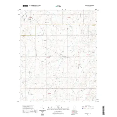 2020 Hackneyville2020 Print · USGSCovers Clay County, including Hackneyville, Pinkneyville, and other nearby areas
 - 2020 Map of Lineville East, 2020 Print
 2020 Lineville East2020 Print · USGSCovers Clay County, including Lineville, Shiloh, and other nearby areas
 - 2020 Map of Daviston, 2020 Print
 2020 Daviston2020 Print · USGSCovers Clay County, including New Site, Daviston, and other nearby areas
 - 2020 Map of Gibsonville, 2020 Print
 2020 Gibsonville2020 Print · USGSCovers Clay County, including Ashland, Bluff Springs, and other nearby areas
 - 2020 Map of New Site, 2020 Print
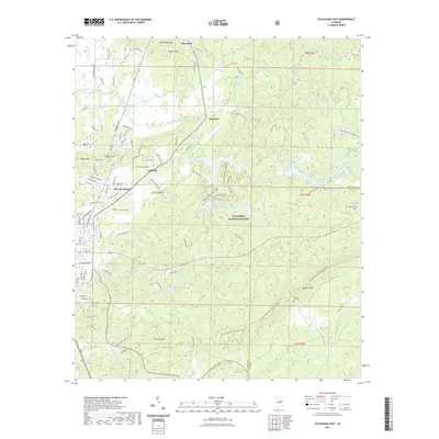
 2020 New Site2020 Print · USGSCovers Clay County, including New Site, Goldville, and other nearby areas
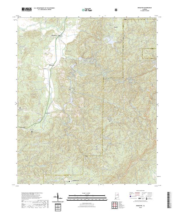
 - 2021 Map of Ironaton, 2021 Print
 2021 Ironaton2021 Print · USGSCovers Clay County, including Chinnabee, McElderry, and other nearby areas
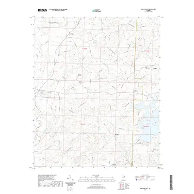
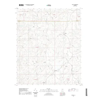
 - 2021 Map of Bulls Gap, 2021 Print
 2021 Bulls Gap2021 Print · USGSCovers Clay County, including Roselle, Midway, and other nearby areas
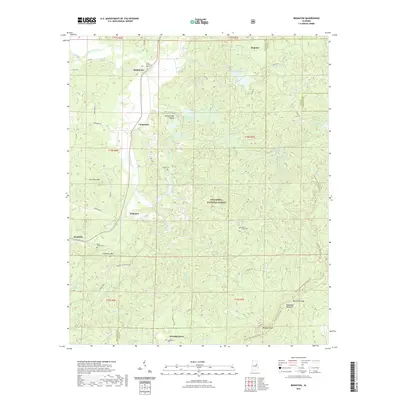
 - 2021 Map of Millerville, 2021 Print
 2021 Millerville2021 Print · USGSCovers Clay County, including Millerville, Glades, and other nearby areas
 - 2021 Map of Sylacauga East, 2021 Print
 2021 Sylacauga East2021 Print · USGSCovers Clay County, including Sylacauga, Liberty Hill, and other nearby areas
 - 2021 Map of Cheaha Mountain, 2021 Print
 2021 Cheaha Mountain2021 Print · USGSCovers Clay County, including Union, Talladega County, and other nearby areas
 - 2021 Map of Lineville West, 2021 Print
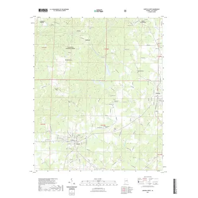 2021 Lineville West2021 Print · USGSCovers Clay County, including Lineville, Ashland, and other nearby areas
 - 2021 Map of Delta, 2021 Print
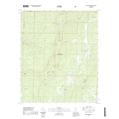
 2021 Delta2021 Print · USGSCovers Clay County, including Delta, Mount Moriah, and other nearby areas
 - 2021 Map of Clairmont Springs, 2021 Print
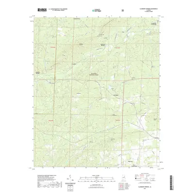 2021 Clairmont Springs2021 Print · USGSCovers Clay County, including Ashland, High Pine, and other nearby areas
 - 2021 Map of Porter Gap, 2021 Print
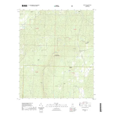 2021 Porter Gap2021 Print · USGSCovers Clay County, including Waldo, Chambers Springs, and other nearby areas
 - 2021 Map of Goodwater, 2021 Print
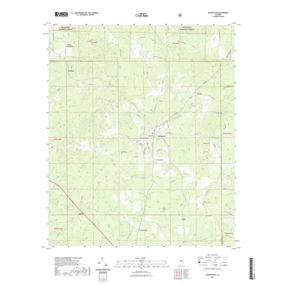 2021 Goodwater2021 Print · USGSCovers Clay County, including Goodwater, Hatchet, and other nearby areas
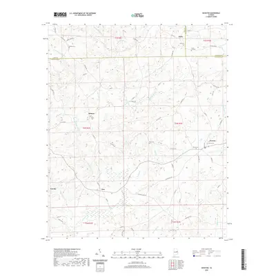
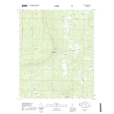
 - 2021 Map of Hollins, 2021 Print
 2021 Hollins2021 Print · USGSCovers Clay County, including Sylacauga, Stewartville, and other nearby areas
 - 2024 Map of Bulls Gap, 2024 Print
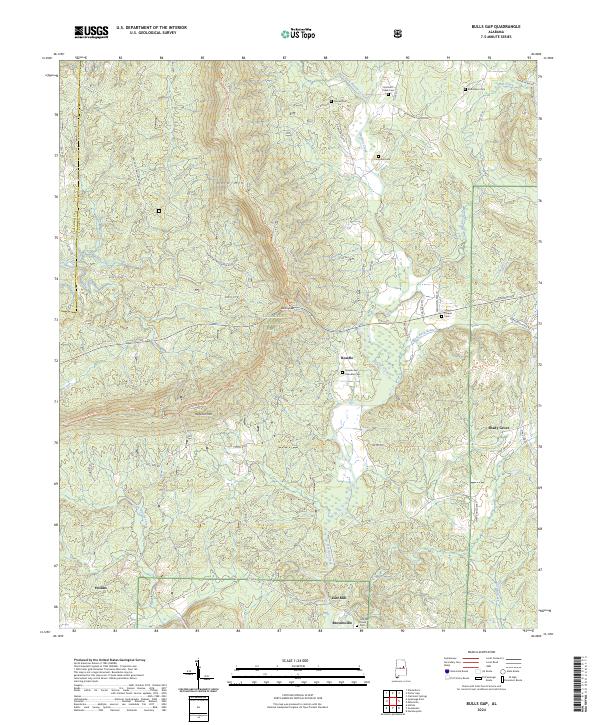 2024 Bulls Gap2024 Print · USGSThe Talladega National Forest ridgelines and the winding Hatchet Creek valley define this Alabama landscape in the mid-2020s. Genealogists can locate family landmarks like the Rozelle and Chandler Cem, Marvin Chapel, and the settlement of Brownsville.
 - 2024 Map of Porter Gap, 2024 Print
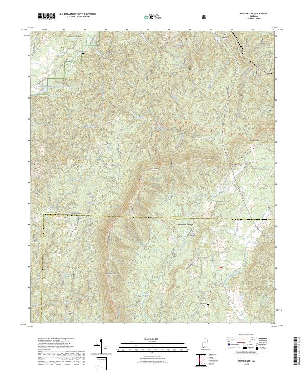 2024 Porter Gap2024 Print · USGSThe ridges of the Talladega National Forest meet the valley settlements of Waldo and Chambers Springs in this modern look at rural Alabama. Researchers can trace family history at Horns Memorial Cem or locate topographic landmarks like Sherman Cliffs and Porter Gap.
 - 2024 Map of Sylacauga East, 2024 Print
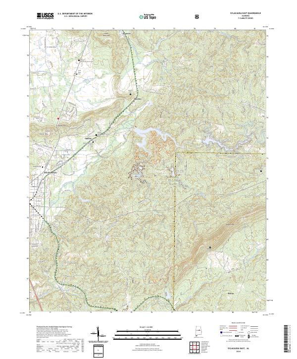 2024 Sylacauga East2024 Print · USGSTalladega County comes into focus in this contemporary survey of the hills and hollows east of Sylacauga. Genealogists can trace several remote burial sites including Summer Hill Cem and Player's Cem near the banks of Emauhee Creek.
 - 2024 Map of Clairmont Springs, 2024 Print
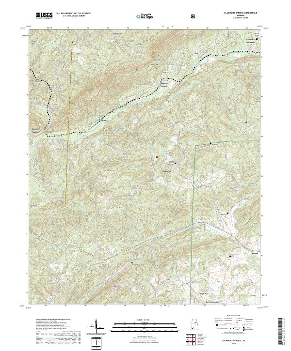 2024 Clairmont Springs2024 Print · USGSClay County's ridgeline communities and mountain gaps are mapped here in the modern era as they transition into the Talladega National Forest. Researchers can locate family landmarks like Pole Bridge Cem, Gunthertown, and the old Fairview Church Cem.
 - 2024 Map of Gibsonville, 2024 Print
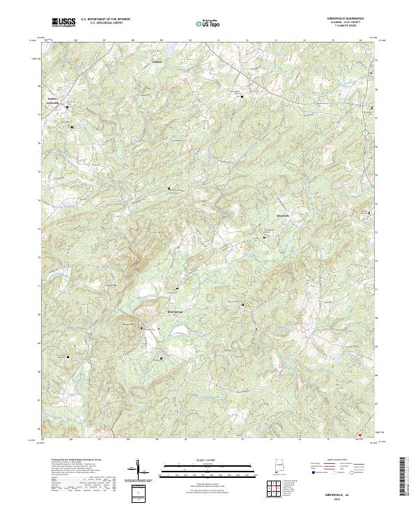 2024 Gibsonville2024 Print · USGSClay County's rural crossroads and family homesteads are documented in this recent survey of the Alabama interior. Genealogists can trace local heritage through numerous burial sites including Mount Ararat Cem, Patterson Cem, and the historic Lystra Baptist Church.
 - 2024 Map of Hackneyville, 2024 Print
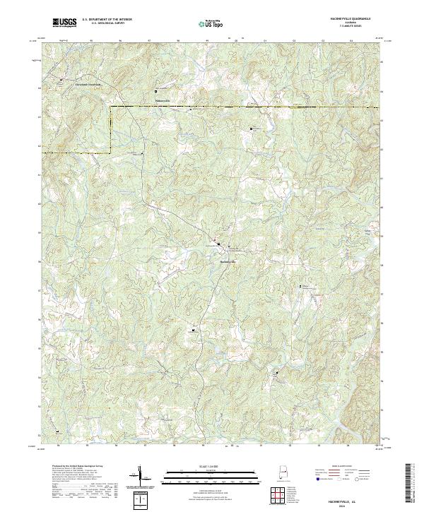 2024 Hackneyville2024 Print · USGSThe rural landscapes north of Alexander City are mapped here in the early twenty-first century, showing a region of quiet crossroads and historic family burial grounds. Researchers can trace local lineages at the Hillabee Campground Cem, Cleveland Crossroads, and the remote banks of Oaktasasi Creek.
 - 2024 Map of Ironaton, 2024 Print
 2024 Ironaton2024 Print · USGSTalladega County is shown in this contemporary survey, where the national forest meets long-established rural communities. Genealogists can trace family sites like Lackey Cem and Seay Chapel Cem or locate the historic Chief Chenneby Grave.
 - 2024 Map of Lineville East, 2024 Print
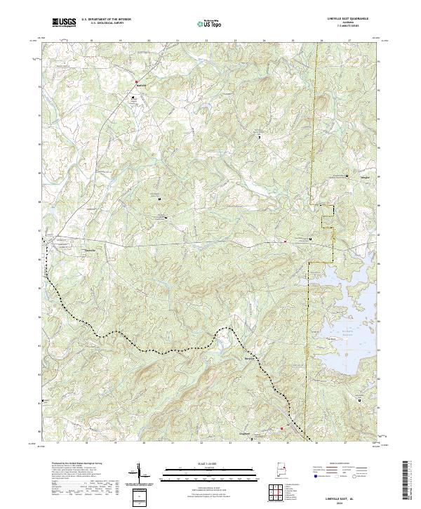 2024 Lineville East2024 Print · USGSClay and Randolph Counties come alive in this recent survey showing the landscape around Lineville and the R L Harris Reservoir. Genealogists can trace family roots through several local landmarks like Barfield Baptist Church Cem and the settlement of Cragford.
Showing maps 1-25 of 34
Top cities of Clay County
Frequently asked questions
- What are the different types of historical maps available for Clay County?
- What is the oldest map of Clay County?
- Where can I purchase historical maps of Clay County for my home or office?
- Where can I download high-res historical maps of Clay County?
- Are there historical topographic maps available for Clay County?
- Is there historical aerial imagery available for Clay County?
- Where are historical maps of Clay County sourced from?