2010s Maps of Clay County, Alabama
Explore 51 historic maps of Clay County from the 2010s. These maps offer a rare glimpse into what life looked like during the 2010s — showing old roads, neighborhoods, homes, and landmarks that have changed or disappeared over time.
Whether you're researching your family's past, planning a metal detecting trip, or studying how Clay County's landscape evolved across the 2010s, these high-resolution maps are a powerful tool for exploring the history of this region.
- Focus on a specific era: All maps on this page are from the 2010s, giving you a focused view of this time period.
- See what’s changed: Compare century-old streets, trails, and buildings to today's modern landscape using overlays and satellite layers.
- Research with precision: Use these maps for genealogy, historical research, land use analysis, or educational projects.
- View, download, or print: Maps are fully viewable online in high resolution, and can be downloaded or printed for your own records.
Start exploring Clay County's history through authentic maps from the 2010s. This is your window into the past.
Clay County, AL maps
(51)- 2011 Map of Hollins, 2011 Print
 2011 Hollins2011 Print · USGSThe rural communities between Sylacauga and the Coosa County line are documented here during a period of steady growth. Researchers can trace local lineage through numerous sites like Hollins Springs Cemetery and settlements such as Hanover and Stewartville.
 - 2011 Map of Bulls Gap, 2011 Print
 2011 Bulls Gap2011 Print · USGSClay County at the start of the 2010s reveals a landscape of quiet hamlets and persistent family landmarks. Genealogists and local historians can trace the foundations of Roselle, Midway, and Bulls Gap, alongside historic sites like Pierces Mill and the Hollins Fire Tower.
 - 2011 Map of Goodwater, 2011 Print
 2011 Goodwater2011 Print · USGSThe community of Goodwater and its surrounding Coosa County countryside are shown here in the early twenty-first century. Family historians can locate several local burial sites, including Crestview Memorial Cemetery, and trace local landmarks like Smyrna Hill and the Coosa County Airport.
 - 2011 Map of New Site, 2011 Print
 2011 New Site2011 Print · USGSTallapoosa County's rural crossroads and uplands are captured here in the early twenty-first century. Genealogists can trace family roots through numerous burial sites like Bethlehem Cemetery and Old Salem Cemetery near the settlements of New Site and Goldville.
 - 2011 Map of Millerville, 2011 Print
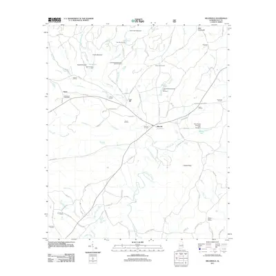 2011 Millerville2011 Print · USGSMillerville and its surrounding Clay County uplands are captured here in the early twenty-first century. Genealogists and local historians can trace family locations through numerous sites like Simmons Cemetery, Carr Mill, and Rays Crossroads.
 - 2011 Map of Mellow Valley, 2011 Print
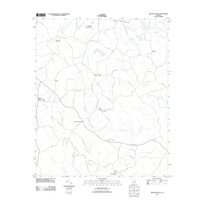 2011 Mellow Valley2011 Print · USGSClay County at the start of the 2010s remains a landscape of tightly-knit rural communities and timber tracts. Local researchers can trace family landmarks and cemeteries like New Hope Cemetery or Wilson Cemetery, while locating landmarks like the Blackjack Lookout Tower.
 - 2011 Map of Gibsonville, 2011 Print
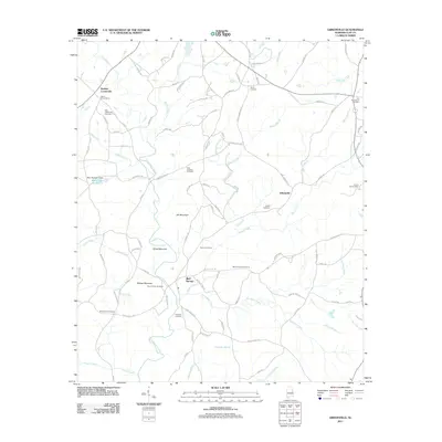 2011 Gibsonville2011 Print · USGSClay County at the dawn of the twenty-first century reveals a resilient landscape of upland ridges and creek-fed valleys. Genealogists and local historians can trace legacy sites like the Mount Ararat Cemetery and old road networks near Bluff Springs and Gibsonville.
 - 2011 Map of Lineville West, 2011 Print
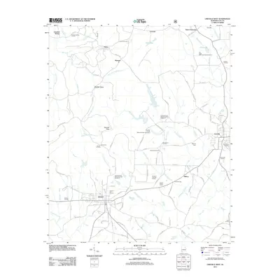 2011 Lineville West2011 Print · USGSClay County's rural heartland and the neighboring towns of Ashland and Lineville are captured in this early twenty-first-century survey. Genealogists and local historians can trace family locations at Ashland City Cemetery, Macedonia Cemetery, and the settlement of Pyriton.
 - 2011 Map of Lineville East, 2011 Print
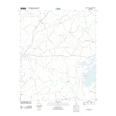 2011 Lineville East2011 Print · USGSThe rural landscape of Clay County is captured here in the early twenty-first century, just as the R L Harris Reservoir defines the eastern terrain. Genealogists can trace family connections at Dinglers Chapel Cemetery, Sweetwater Cemetery, and the settlement of Cragford.
 - 2011 Map of Clairmont Springs, 2011 Print
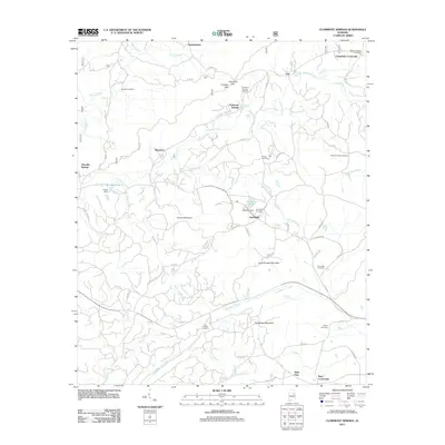 2011 Clairmont Springs2011 Print · USGSClay County's ridgelines and valley settlements are captured here in the early 2000s, showing the rural character of the Alabama mountains. Researchers can locate numerous family burial grounds like Burgess Cemetery and landmarks such as Lizard Scrape Mountain.
 - 2011 Map of Hackneyville, 2011 Print
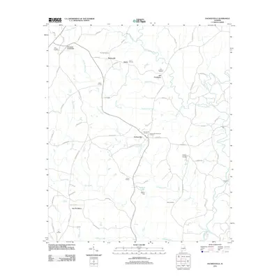 2011 Hackneyville2011 Print · USGSTallapoosa County's rural landscape is preserved here as it appeared in the early 2010s, centered on the settlement of Hackneyville. Researchers can trace local lineage through numerous historic sites like Hillabee Campground Cemetery, Hutchinson Ford, and Old Providence.
 - 2011 Map of Delta, 2011 Print
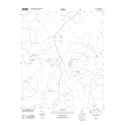 2011 Delta2011 Print · USGSClay County at the start of the decade reveals a landscape of upland valleys and watershed lakes. Researchers can trace family history through a high density of rural burial grounds like Mount Moriah Cemetery and Providence Cemetery, or locate old crossroads at Needmore and Christiana.
 - 2011 Map of Ironaton, 2011 Print
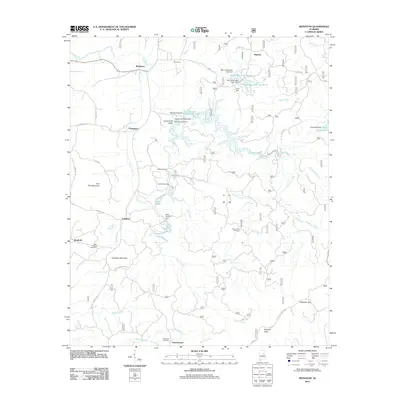 2011 Ironaton2011 Print · USGSTalladega County is documented here in the early twenty-first century, showing a landscape of foothill settlements and managed waterways. Researchers can trace local genealogy and land use through Ironaton, Gunthertown, and several burial sites like Horse Creek Cemetery.
 - 2011 Map of Porter Gap, 2011 Print
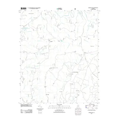 2011 Porter Gap2011 Print · USGSTalladega County’s ridges and creek valleys are documented here during the early twenty-first century, showing a landscape defined by mountain gaps and rural settlements. Genealogists can trace local roots through Pilgrim Rest Cemetery and Horns Memorial Cemetery or locate old sites like Taylors Mill.
 - 2011 Map of Sylacauga East, 2011 Print
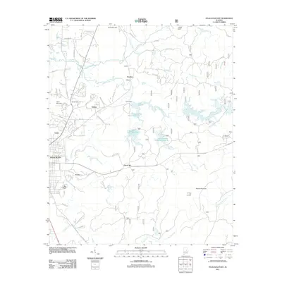 2011 Sylacauga East2011 Print · USGSSylacauga and its eastern environs are captured here during a period of water management and rural growth. Researchers can locate family landmarks like Evergreen Cemetery, follow the waters of Lake Howard, or trace the roads through Liberty Hill and The Moon.
 - 2011 Map of Cheaha Mountain, 2011 Print
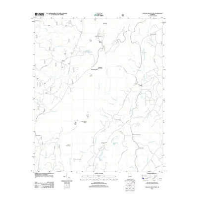 2011 Cheaha Mountain2011 Print · USGSThe Alabama highlands are shown in detail during the early 2010s, centered on the heights of Cheaha Mountain. Local historians can trace family locations near Union, Ebenezer Cemetery, and Mannings Chapel Cemetery while following the deep cuts of Talladega Creek.
 - 2011 Map of Daviston, 2011 Print
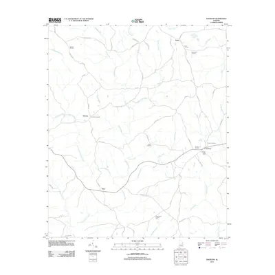 2011 Daviston2011 Print · USGSThis Tallapoosa County landscape shows the rural communities of Daviston and Zana in the early twenty-first century. Researchers can locate several family burial sites including Union Cemetery and Old Vickers Cemetery, or trace old routes like Germanys Ferry Rd.
 - 2014 Map of Porter Gap, 2014 Print
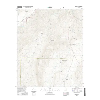 2014 Porter Gap2014 Print · USGSTalladega and Clay counties meet in this modern survey of the national forest and its surrounding rural communities. Researchers can trace family history at Pilgrim Rest Cem or explore landmarks like Sherman Cliffs and the settlement of Chambers Springs.
 - 2014 Map of Bulls Gap, 2014 Print
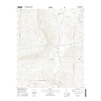 2014 Bulls Gap2014 Print · USGSThe rural ridges of Clay County are captured here in the early twenty-first century, showing the forested terrain of the Talladega National Forest. Local historians can trace old homesteads and family sites like the Rozelle and Chandler Cem and the community of East Mill.
 - 2014 Map of Sylacauga East, 2014 Print
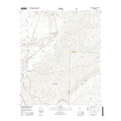 2014 Sylacauga East2014 Print · USGSSylacauga and its eastern hinterlands are shown here in the mid-2010s, where the city meets the wooded slopes of the Alabama wilderness. Researchers can trace the layout of smaller communities like Sycamore and Oldfield or locate family sites at Evergreen Cem and Summer Hill Cem.
 - 2014 Map of Gibsonville, 2014 Print
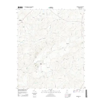 2014 Gibsonville2014 Print · USGSClay County's rural character remains evident in this recent study of the Alabama hill country. Genealogists can trace family heritage through a high density of rural burial grounds like New Prospect Cem, Sardis Cem, and Mt Zion Cem.
 - 2014 Map of Clairmont Springs, 2014 Print
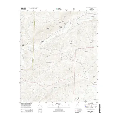 2014 Clairmont Springs2014 Print · USGSThis part of Clay and Talladega counties in the twenty-tens shows a landscape of ridges and gaps deeply integrated with the Talladega National Forest. Local history researchers can trace family roots through numerous landmarks like Sardis Cem, Clairmont Springs, and Springhill Cem.
 - 2014 Map of Delta, 2014 Print
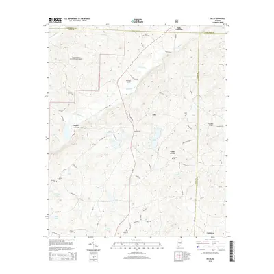 2014 Delta2014 Print · USGSClay County and the Talladega National Forest appear in this 2014 survey as a network of ridges, valleys, and rural settlements. Genealogists can trace family landmarks and local history at sites like Ragan Chapel Cem, Hollis Crossroads, and Fishhead Valley.
 - 2014 Map of Millerville, 2014 Print
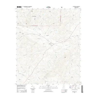 2014 Millerville2014 Print · USGSMillerville and the southern reaches of the Talladega National Forest are shown here in the early 21st century. Researchers can locate many family-named burial sites like Wilsons Cem and Big Springs Cem or trace the winding course of Little Hillabee Creek.
 - 2014 Map of New Site, 2014 Print
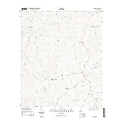 2014 New Site2014 Print · USGSTallapoosa County in the early twenty-first century reveals a resilient network of small rural communities and historic burial grounds. Researchers can trace the layout of New Site and Goldville or locate family sites like Old Salem Cem and McClendon Cem.
Showing maps 1-25 of 51
Top cities of Clay County
Frequently asked questions
- What are the different types of historical maps available for Clay County?
- What is the oldest map of Clay County?
- Where can I purchase historical maps of Clay County for my home or office?
- Where can I download high-res historical maps of Clay County?
- Are there historical topographic maps available for Clay County?
- Is there historical aerial imagery available for Clay County?
- Where are historical maps of Clay County sourced from?