2000s (21st Century) Maps of Cleburne County, Alabama
Explore 124 historic maps of Cleburne County from the 2000s (21st Century). These maps offer a rare glimpse into what life looked like during the 2000s — showing old roads, neighborhoods, homes, and landmarks that have changed or disappeared over time.
Whether you're researching your family's past, planning a metal detecting trip, or studying how Cleburne County's landscape evolved across the 2000s, these high-resolution maps are a powerful tool for exploring the history of this region.
- Focus on a specific era: All maps on this page are from the 2000s, giving you a focused view of this time period.
- See what’s changed: Compare century-old streets, trails, and buildings to today's modern landscape using overlays and satellite layers.
- Research with precision: Use these maps for genealogy, historical research, land use analysis, or educational projects.
- View, download, or print: Maps are fully viewable online in high resolution, and can be downloaded or printed for your own records.
Start exploring Cleburne County's history through authentic maps from the 2000s. This is your window into the past.
Cleburne County, AL maps
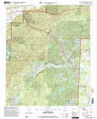
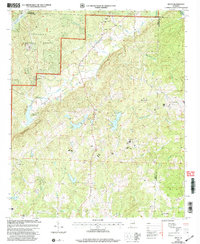
(124)- 2001 Map of Choccolocco, 2004 Print
 2001 Choccolocco2004 Print · USGSCalhoun and Cleburne counties are captured here at the start of the millennium, showing a landscape defined by deep forests and mountain ridges. Genealogists can trace family names at Hanna Cem, Whitesides Mill, and Old Davisville.
 - 2001 Map of Ironaton, 2004 Print
 2001 Ironaton2004 Print · USGSTalladega County at the turn of the millennium shows a landscape defined by forest ridges and small rural settlements. Genealogists and hikers can trace the paths of the Pinhoti Trail or locate historical community centers like Ironaton and Seay Chapel.
 - 2001 Map of Piedmont SE, 2004 Print
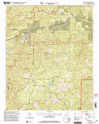 2001 Piedmont SE2004 Print · USGSThe foothills of the Appalachian Mountains in Cleburne County come into focus at the turn of the millennium, revealing a landscape of managed forests and mountain ridges. Researchers can trace rural lineages at Grantley Ch and Dunn Cem or follow the path of the Pinhoti Trail.
 - 2001 Map of Oxford, 2004 Print
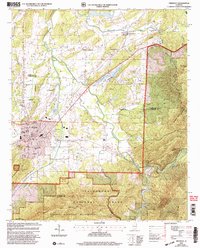
 2001 Oxford2004 Print · USGSThe northern industrial corridor of Oxford and Anniston meets the deep woods of the National Forest at the turn of the millennium. Genealogists can trace local landmarks like Hobson City, the County Training Sch, and Antioch Ch.
 - 2001 Map of Hollis Crossroads, 2004 Print
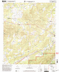
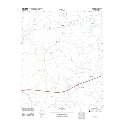
 2001 Hollis Crossroads2004 Print · USGSThe foothills of eastern Alabama come into focus in the early 2000s, showing a landscape defined by the Talladega National Forest. Genealogists can trace family roots through rural landmarks like Chulafinnee, Bethlehem Ch, and Liberty Hill Cem Ch.
 - 2001 Map of Borden Springs, 2004 Print
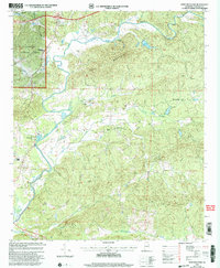
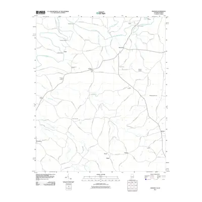
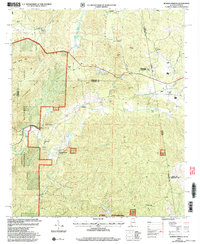 2001 Borden Springs2004 Print · USGSThe Alabama and Georgia state line meets at the turn of the millennium in this detailed survey of the Cleburne and Polk county borderlands. Genealogists and historians can trace old homesteads and local landmarks like Tecumseh Furnace, New Bethel Ch, and Borden Springs.
 - 2001 Map of Piedmont, 2004 Print
 2001 Piedmont2004 Print · USGSPiedmont and the surrounding forest lands are documented here just after the millennium, showing the town's interface with the protected wilderness. Researchers can find family landmarks like Goshen Cem or trace the rural routes through McFrey Crossroads and Spring Garden.
 - 2001 Map of Piedmont NW, 2004 Print
 2001 Piedmont NW2004 Print · USGSCalhoun County's rural crossroads and ridge-side communities are captured here at the turn of the millennium. Genealogists and local historians can trace family-named sites like Estes Crossroads, Knightens Chapel, and the settlement of Maxwellborn.
 - 2001 Map of Delta, 2004 Print
 2001 Delta2004 Print · USGSClay County at the start of the century is a landscape of creek valleys and crossroad settlements bordering the national forest. Researchers can trace rural community life through sites like Bagan Chapel Cem, Needmore, and Mt Olive Ch.
 - 2001 Map of Jacksonville East, 2004 Print
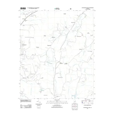
 2001 Jacksonville East2004 Print · USGSCalhoun County's eastern ridges and forest lands are shown here at the turn of the millennium as rural life met expanding conservation areas. Genealogists can locate family landmarks like Booger Cem, Holley Crossroads, and Oak Grove Ch tucked between the peaks.
 - 2001 Map of Cheaha Mountain, 2004 Print
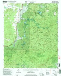
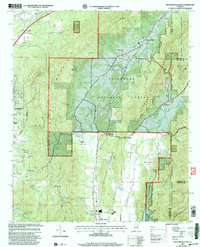
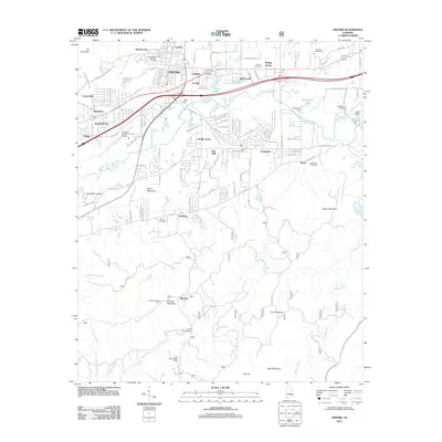
 2001 Cheaha Mountain2004 Print · USGSThe highest reaches of the Alabama Appalachians are documented here at the start of the new millennium. Researchers can trace the intersection of wilderness and rural life, from the heights of Cheaha Mtn and McDill Point to the community at Union and Mannings Chapel.
 - 2001 Map of Heflin, 2004 Print
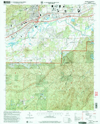
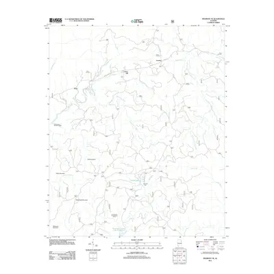
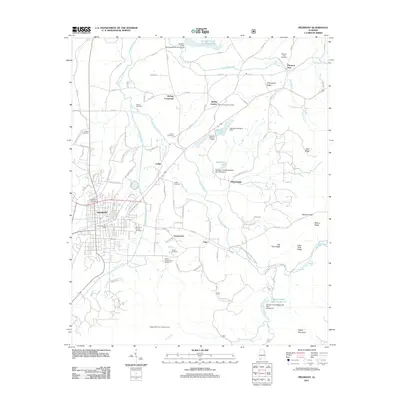
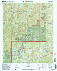 2001 Heflin2004 Print · USGSHeflin and Edwardsville sit at the intersection of town life and the protected wilderness of the Talladega National Forest at the turn of the century. Researchers can trace local heritage through Heflin Training School and several burial sites like Old Liberty Cem and Cane Creek Ch Cem.
 - 2001 Map of Ross Mountain, 2004 Print
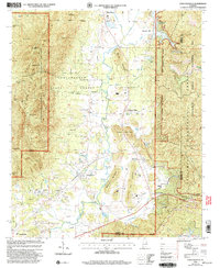
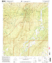
 2001 Ross Mountain2004 Print · USGSCleburne County at the start of the millennium is a land of winding rivers and ridge-line communities. Researchers can trace rural lineages through sites like Arbacoochee, Hepsabah Ch, and family-named landmarks near the Tallapoosa River.
 - 2011 Map of Tallapoosa North, 2011 Print
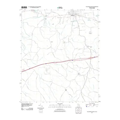
 2011 Tallapoosa North2011 Print · USGSCovers Cleburne County, including Tallapoosa, Poplar Springs, and other nearby areas
 - 2011 Map of Tallapoosa South, 2011 Print
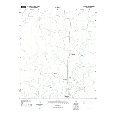
 2011 Tallapoosa South2011 Print · USGSCovers Cleburne County, including Tallapoosa, Hooper, and other nearby areas
 - 2011 Map of Bowdon West, 2011 Print
 2011 Bowdon West2011 Print · USGSCovers Cleburne County, including Bowdon, Ranburne, and other nearby areas
 - 2011 Map of Graham, 2011 Print
 2011 Graham2011 Print · USGSCovers Cleburne County, including Ephesus, Sewell, and other nearby areas2 unique versions available
 - 2011 Map of Piedmont SE, 2011 Print
 2011 Piedmont SE2011 Print · USGSCovers Cleburne County, including Liberty Hill, Grantley, and other nearby areas
 - 2011 Map of Newell, 2011 Print
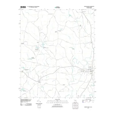
 2011 Newell2011 Print · USGSCovers Cleburne County, including Morrison Crossroads, Woodland, and other nearby areas
 - 2011 Map of Hightower, 2011 Print
 2011 Hightower2011 Print · USGSCovers Cleburne County, including Lecta, Trickem, and other nearby areas
 - 2011 Map of Oxford, 2011 Print
 2011 Oxford2011 Print · USGSCovers Cleburne County, including Oxford, Anniston, and other nearby areas
 - 2011 Map of Fruithurst, 2011 Print
 2011 Fruithurst2011 Print · USGSCovers Cleburne County, including Heflin, Fruithurst, and other nearby areas
 - 2011 Map of Piedmont, 2011 Print
 2011 Piedmont2011 Print · USGSCovers Cleburne County, including Piedmont, Spring Garden, and other nearby areas
 - 2011 Map of Jacksonville East, 2011 Print
 2011 Jacksonville East2011 Print · USGSCovers Cleburne County, including Jacksonville, Nances Creek, and other nearby areas
 - 2011 Map of Heflin, 2011 Print
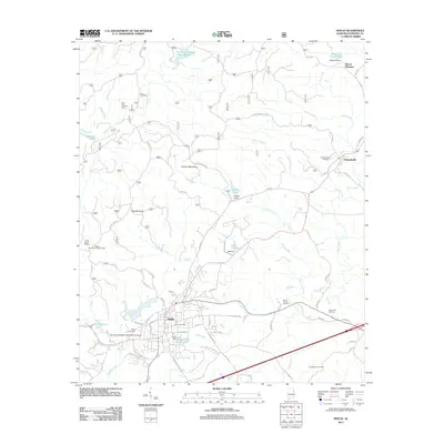 2011 Heflin2011 Print · USGSCovers Cleburne County, including Heflin, Edwardsville, and other nearby areas
Showing maps 1-25 of 124
Top cities of Cleburne County
- Heflin historical maps
- Hollis Crossroads historical maps
- Ranburne historical maps
- Fruithurst historical maps
- Edwardsville historical maps
Frequently asked questions
- What are the different types of historical maps available for Cleburne County?
- What is the oldest map of Cleburne County?
- Where can I purchase historical maps of Cleburne County for my home or office?
- Where can I download high-res historical maps of Cleburne County?
- Are there historical topographic maps available for Cleburne County?
- Is there historical aerial imagery available for Cleburne County?
- Where are historical maps of Cleburne County sourced from?