2020s Maps of Cleburne County, Alabama
Explore 45 historic maps of Cleburne County from the 2020s. These maps offer a rare glimpse into what life looked like during the 2020s — showing old roads, neighborhoods, homes, and landmarks that have changed or disappeared over time.
Whether you're researching your family's past, planning a metal detecting trip, or studying how Cleburne County's landscape evolved across the 2020s, these high-resolution maps are a powerful tool for exploring the history of this region.
- Focus on a specific era: All maps on this page are from the 2020s, giving you a focused view of this time period.
- See what’s changed: Compare century-old streets, trails, and buildings to today's modern landscape using overlays and satellite layers.
- Research with precision: Use these maps for genealogy, historical research, land use analysis, or educational projects.
- View, download, or print: Maps are fully viewable online in high resolution, and can be downloaded or printed for your own records.
Start exploring Cleburne County's history through authentic maps from the 2020s. This is your window into the past.
Cleburne County, AL maps
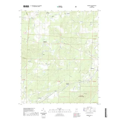
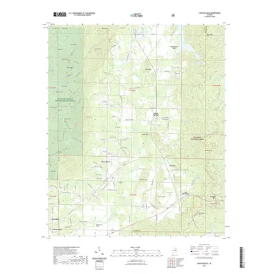
(45)- 2020 Map of Tallapoosa North, 2020 Print
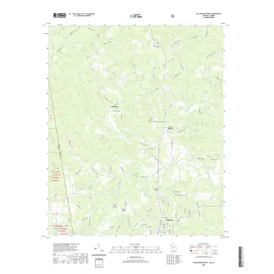 2020 Tallapoosa North2020 Print · USGSCovers Cleburne County, including Tallapoosa, Poplar Springs, and other nearby areas
 - 2020 Map of Tallapoosa South, 2020 Print
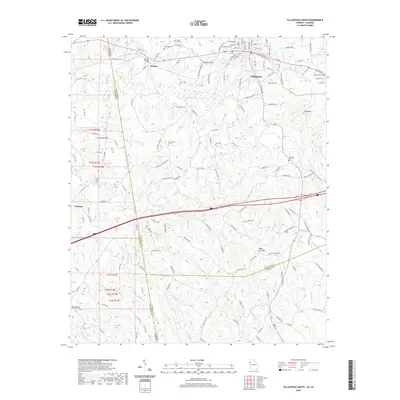 2020 Tallapoosa South2020 Print · USGSCovers Cleburne County, including Tallapoosa, Hooper, and other nearby areas
 - 2020 Map of Bowdon West, 2020 Print
 2020 Bowdon West2020 Print · USGSCovers Cleburne County, including Bowdon, Ranburne, and other nearby areas
 - 2020 Map of Graham, 2020 Print
 2020 Graham2020 Print · USGSCovers Cleburne County, including Ephesus, Sewell, and other nearby areas
 - 2020 Map of Hightower, 2020 Print
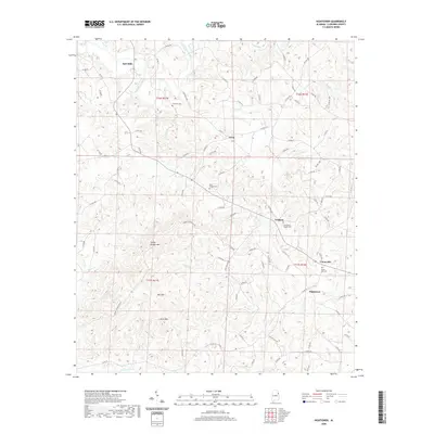 2020 Hightower2020 Print · USGSCovers Cleburne County, including Lecta, Trickem, and other nearby areas
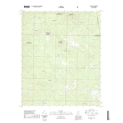
 - 2020 Map of Micaville, 2020 Print
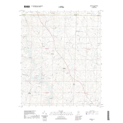 2020 Micaville2020 Print · USGSCovers Cleburne County, including Cedron, Corinth, and other nearby areas
 - 2020 Map of Newell, 2020 Print
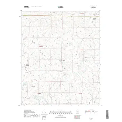 2020 Newell2020 Print · USGSCovers Cleburne County, including Morrison Crossroads, Woodland, and other nearby areas
 - 2020 Map of Fruithurst, 2020 Print
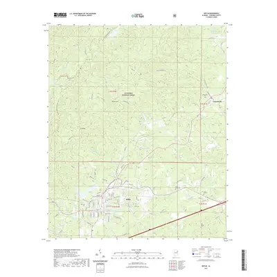
 2020 Fruithurst2020 Print · USGSCovers Cleburne County, including Heflin, Fruithurst, and other nearby areas
 - 2021 Map of Heflin, 2021 Print
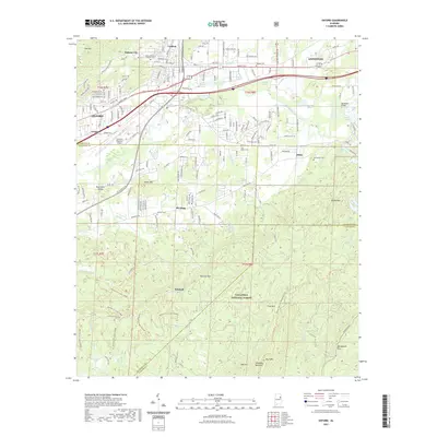
 2021 Heflin2021 Print · USGSCovers Cleburne County, including Heflin, Edwardsville, and other nearby areas
 - 2021 Map of Piedmont, 2021 Print
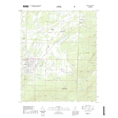 2021 Piedmont2021 Print · USGSCovers Cleburne County, including Piedmont, Spring Garden, and other nearby areas
 - 2021 Map of Jacksonville East, 2021 Print
 2021 Jacksonville East2021 Print · USGSCovers Cleburne County, including Jacksonville, Nances Creek, and other nearby areas
 - 2021 Map of Ironaton, 2021 Print
 2021 Ironaton2021 Print · USGSCovers Cleburne County, including Chinnabee, McElderry, and other nearby areas
 - 2021 Map of Borden Springs, 2021 Print
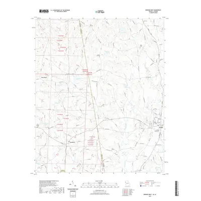
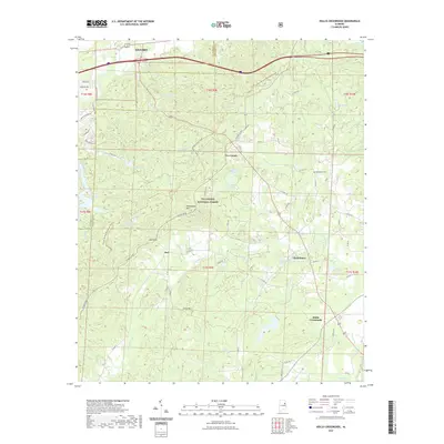
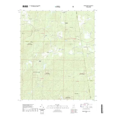 2021 Borden Springs2021 Print · USGSCovers Cleburne County, including Borden Wheeler Springs, Borden Springs, and other nearby areas
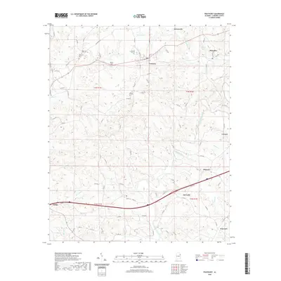
 - 2021 Map of Ross Mountain, 2021 Print
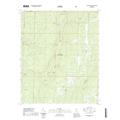
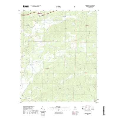 2021 Ross Mountain2021 Print · USGSCovers Cleburne County, including Heflin, Belltown, and other nearby areas
 - 2021 Map of Piedmont SE, 2021 Print
 2021 Piedmont SE2021 Print · USGSCovers Cleburne County, including Liberty Hill, Grantley, and other nearby areas
 - 2021 Map of Piedmont NW, 2021 Print
 2021 Piedmont NW2021 Print · USGSCovers Cleburne County, including Piedmont, Knightens Crossroads, and other nearby areas
 - 2021 Map of Hollis Crossroads, 2021 Print
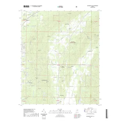
 2021 Hollis Crossroads2021 Print · USGSCovers Cleburne County, including Oxford, Hollis Crossroads, and other nearby areas
 - 2021 Map of Cheaha Mountain, 2021 Print
 2021 Cheaha Mountain2021 Print · USGSCovers Cleburne County, including Union, Talladega County, and other nearby areas
 - 2021 Map of Oxford, 2021 Print
 2021 Oxford2021 Print · USGSCovers Cleburne County, including Oxford, Anniston, and other nearby areas
 - 2021 Map of Delta, 2021 Print
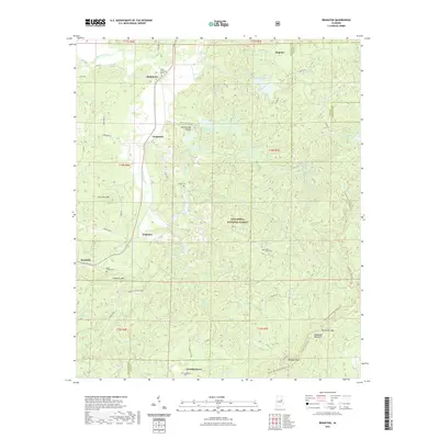
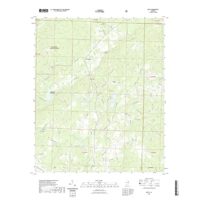 2021 Delta2021 Print · USGSCovers Cleburne County, including Delta, Mount Moriah, and other nearby areas
 - 2021 Map of Choccolocco, 2021 Print
 2021 Choccolocco2021 Print · USGSCovers Cleburne County, including Oxford, Choccolocco, and other nearby areas
 - 2021 Map of Oak Level, 2021 Print
 2021 Oak Level2021 Print · USGSCovers Cleburne County, including Mars Hill, Piney Woods, and other nearby areas
 - 2024 Map of Graham, 2024 Print
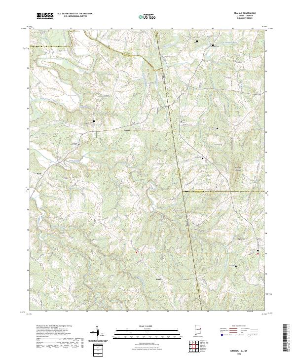 2024 Graham2024 Print · USGSThe Alabama-Georgia state line and the meeting of four counties define this borderland landscape in the 2020s. Researchers can trace rural community centers and family burial sites like Bethena United Methodist Church, Sardis Cem, and Blackjack Mountain.
 - 2024 Map of Borden Springs, 2024 Print
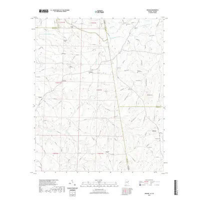
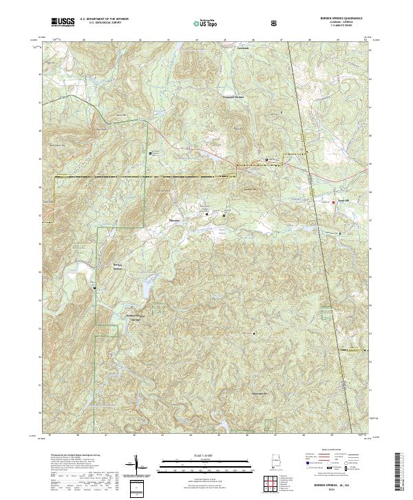 2024 Borden Springs2024 Print · USGSThe Alabama-Georgia state line comes alive in the late 2010s, showing a landscape where iron-industry history meets the protected woodlands of the Talladega National Forest. Researchers can trace old family sites and industrial landmarks including Tecumseh Furnace, Borden Wheeler Springs, and Arrington Chapel Cem.
 - 2024 Map of Ross Mountain, 2024 Print
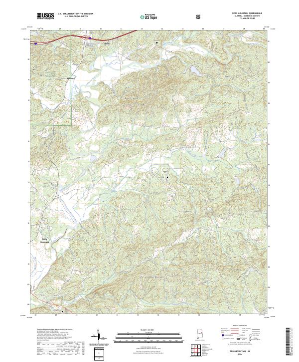 2024 Ross Mountain2024 Print · USGSEastern Alabama's highland terrain and the winding Tallapoosa River define this modern survey of Cleburne County. Family historians can trace local landmarks like Beason Grove Cem, Hollis Crossroads, and the New Harmony Baptist Church.
Showing maps 1-25 of 45
Top cities of Cleburne County
- Heflin historical maps
- Hollis Crossroads historical maps
- Ranburne historical maps
- Fruithurst historical maps
- Edwardsville historical maps
Frequently asked questions
- What are the different types of historical maps available for Cleburne County?
- What is the oldest map of Cleburne County?
- Where can I purchase historical maps of Cleburne County for my home or office?
- Where can I download high-res historical maps of Cleburne County?
- Are there historical topographic maps available for Cleburne County?
- Is there historical aerial imagery available for Cleburne County?
- Where are historical maps of Cleburne County sourced from?