Old Maps of Barton Riverfront Industrial Park, Colbert County for Academic Research
Study the evolution of Barton Riverfront Industrial Park with 18 high-resolution historic maps. Whether you're teaching, researching, or modeling changes in land use, these maps provide essential visual documentation of urban, environmental, and geographic change.
- Analyze long-term change: Track patterns in development, transportation, and natural features.
- Ideal for environmental or urban studies: Support academic projects with primary historical map data.
- Use in the classroom or lab: Educators and researchers rely on these maps to bring historical context to life.
These maps are a powerful tool for teaching, research, and visualizing how Barton Riverfront Industrial Park has changed over the decades.
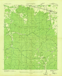
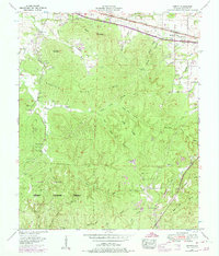
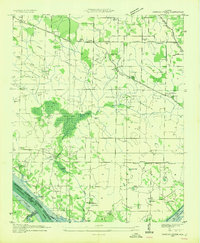
Barton Riverfront Industrial Park, Colbert County maps
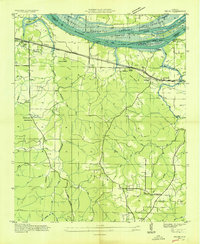
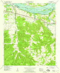
(18)- 1924 Map of Gravelly Springs
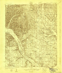 1924 Gravelly Springs1924 Print · USGSCovers Barton Riverfront Industrial Park, including Cherokee, Threet, and other nearby areas2 unique versions available
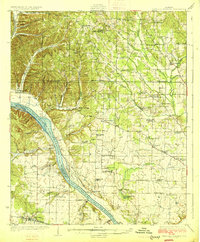
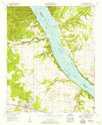
 - 1925 Map of Barton, 1954 Print
 1925 Barton1954 Print · USGSCovers Barton Riverfront Industrial Park, including Russellville, Tuscumbia, and other nearby areas
 - 1926 Map of Barton
 1926 Barton1926 Print · USGSCovers Barton Riverfront Industrial Park, including Russellville, Tuscumbia, and other nearby areas
 - 1926 Map of Gravelly Springs
 1926 Gravelly Springs1926 Print · USGSCovers Barton Riverfront Industrial Park, including Cherokee, Threet, and other nearby areas2 unique versions available
 - 1929 Map of Barton
 1929 Barton1929 Print · USGSCovers Barton Riverfront Industrial Park, including Russellville, Tuscumbia, and other nearby areas3 unique versions available
 - 1935 Map of Cherokee
 1935 Cherokee1935 Print · USGSCovers Barton Riverfront Industrial Park, including Cherokee, Lane Springs, and other nearby areas
 - 1936 Map of Pride
 1936 Pride1936 Print · USGSCovers Barton Riverfront Industrial Park, including Tuscumbia, Hawk Pride, and other nearby areas
 - 1936 Map of Barton
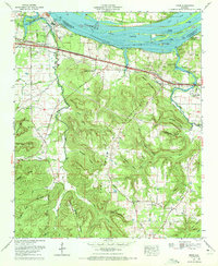
 1936 Barton1936 Print · USGSCovers Barton Riverfront Industrial Park, including Cherokee, Barton, and other nearby areas
 - 1953 Map of Barton, 1974 Print
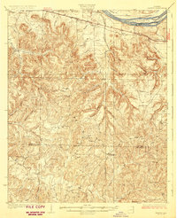
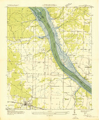
 1953 Barton1974 Print · USGSCovers Barton Riverfront Industrial Park, including Cherokee, Barton, and other nearby areas4 unique versions available
 - 1954 Map of Sinking Creek
 1954 Sinking Creek1954 Print · USGSCovers Barton Riverfront Industrial Park, including Kimbrough Crossroads, New Hope, and other nearby areas4 unique versions available
 - 1954 Map of Pride, 1958 Print
 1954 Pride1958 Print · USGSCovers Barton Riverfront Industrial Park, including Tuscumbia, Hawk Pride, and other nearby areas
 - 1954 Map of Cherokee, 1958 Print
 1954 Cherokee1958 Print · USGSCovers Barton Riverfront Industrial Park, including Cherokee, Lane Springs, and other nearby areas4 unique versions available
 - 1956 Map of Gadsden, 1966 Print
 1956 Gadsden1966 Print · USGSCovers Barton Riverfront Industrial Park, including Huntsville, Decatur, and other nearby areas3 unique versions available
 - 1958 Map of Gadsden
 1958 Gadsden1958 Print · USGSCovers Barton Riverfront Industrial Park, including Huntsville, Decatur, and other nearby areas
 - 1960 Map of Gadsden
 1960 Gadsden1960 Print · USGSCovers Barton Riverfront Industrial Park, including Huntsville, Decatur, and other nearby areas2 unique versions available
 - 1963 Map of Gadsden
 1963 Gadsden1963 Print · USGSCovers Barton Riverfront Industrial Park, including Huntsville, Decatur, and other nearby areas
 - 1971 Map of Pride, 1972 Print
 1971 Pride1972 Print · USGSCovers Barton Riverfront Industrial Park, including Tuscumbia, Hawk Pride, and other nearby areas2 unique versions available
 - 1986 Map of Tuscumbia
 1986 Tuscumbia1986 Print · USGSCovers Barton Riverfront Industrial Park, including Decatur, Florence, and other nearby areas3 unique versions available
End of results
Showing maps 1-18 of 18
Frequently asked questions
- What are the different types of historical maps available for Barton Riverfront Industrial Park?
- What is the oldest map of Barton Riverfront Industrial Park?
- Where can I purchase historical maps of Barton Riverfront Industrial Park for my home or office?
- Where can I download high-res historical maps of Barton Riverfront Industrial Park?
- Are there historical topographic maps available for Barton Riverfront Industrial Park?
- Is there historical aerial imagery available for Barton Riverfront Industrial Park?
- Where are historical maps of Barton Riverfront Industrial Park sourced from?