2020s Maps of Conecuh County, Alabama
Explore 48 historic maps of Conecuh County from the 2020s. These maps offer a rare glimpse into what life looked like during the 2020s — showing old roads, neighborhoods, homes, and landmarks that have changed or disappeared over time.
Whether you're researching your family's past, planning a metal detecting trip, or studying how Conecuh County's landscape evolved across the 2020s, these high-resolution maps are a powerful tool for exploring the history of this region.
- Focus on a specific era: All maps on this page are from the 2020s, giving you a focused view of this time period.
- See what’s changed: Compare century-old streets, trails, and buildings to today's modern landscape using overlays and satellite layers.
- Research with precision: Use these maps for genealogy, historical research, land use analysis, or educational projects.
- View, download, or print: Maps are fully viewable online in high resolution, and can be downloaded or printed for your own records.
Start exploring Conecuh County's history through authentic maps from the 2020s. This is your window into the past.
Conecuh County, AL maps
(48)- 2020 Map of Evergreen, 2020 Print
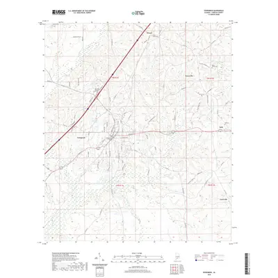 2020 Evergreen2020 Print · USGSEvergreen and its rural surroundings in Conecuh County are captured here during a period of modern growth and local connectivity. Researchers can trace family history through numerous rural burial grounds like Olive Branch Cem and Rabb Cem, or explore the environs of Murder Cr.
 - 2020 Map of Lyeffion, 2020 Print
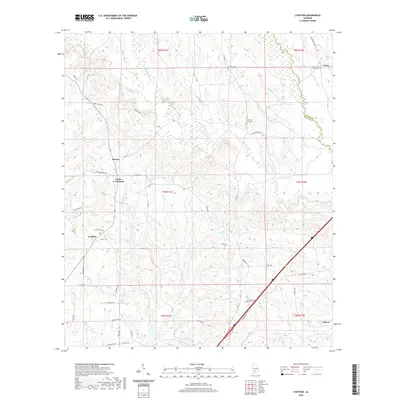 2020 Lyeffion2020 Print · USGSConecuh and Butler counties are captured here just as the new decade began, showing a landscape of river-fed bottoms and high-country crossroads. Researchers can trace family roots through sites like Little Pine Level Cem and settlements such as Bowles and Lyeffion.
 - 2020 Map of Castleberry, 2020 Print
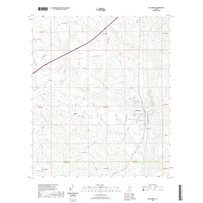 2020 Castleberry2020 Print · USGSCastleberry and the surrounding Conecuh County timberlands are documented here at the start of the 2020s. Genealogists and historians can trace family locations near Buffington Cem, the settlement of London, and landmarks like Hobbs Hill or W J Ellis Lake.
 - 2020 Map of China, 2020 Print
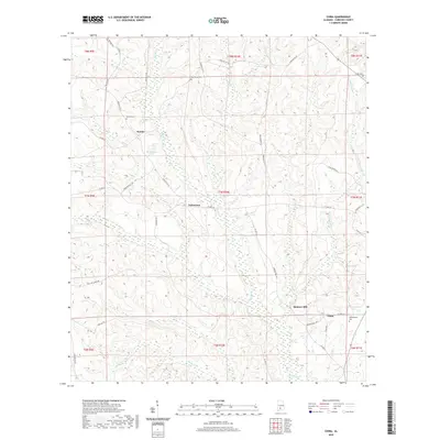 2020 China2020 Print · USGSConecuh County’s rural interior is documented here in the early twenty-first century, showing the small settlements and family lands of south Alabama. Researchers can locate burial grounds like Martin Cem and Witherington Cem near Bookers Mill and China.
 - 2020 Map of Repton, 2020 Print
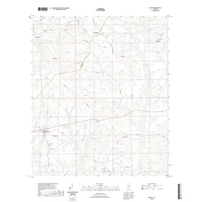 2020 Repton2020 Print · USGSRepton and the surrounding Conecuh County countryside are detailed here as they appeared in 2019. Researchers can trace family history through numerous rural burial grounds like Beulah Cem and Oakdale Cem or locate the Repton Methodist Church.
 - 2020 Map of Excel, 2020 Print
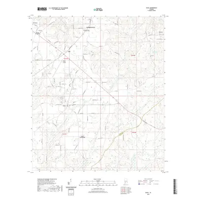 2020 Excel2020 Print · USGSMonroe County at the start of the 2020s shows a landscape defined by small hubs and rural crossroads like Excel and Ollie. Researchers can locate several family burial sites including Daily Cem and McMillan Cem, alongside landmarks like the Monroe County Aeroplex.
 - 2020 Map of Frisco City SE, 2020 Print
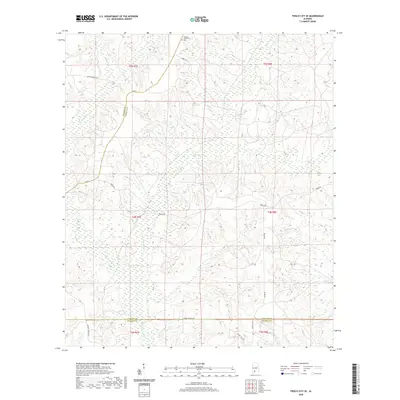 2020 Frisco City SE2020 Print · USGSThe rural expanse where Monroe, Conecuh, and Escambia counties converge is shown here in the modern era. Genealogists and local historians can trace the Sampey Community and its namesake Cem, along with the wetlands surrounding Big Escambia Cr.
 - 2020 Map of Beatrice, 2020 Print
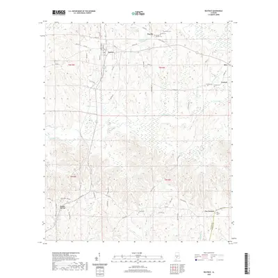 2020 Beatrice2020 Print · USGSMonroe County settlements and family cemeteries are documented here in the early twenty-first century. Genealogists can trace family roots through sites like Philadelphia Ridge RD Cem, Antioch Cem, and Savannah Cem near the community of Beatrice.
 - 2020 Map of Burnt Corn, 2020 Print
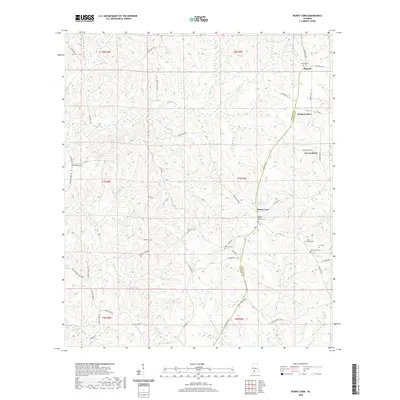 2020 Burnt Corn2020 Print · USGSThe Monroe and Conecuh county line comes alive in the early twenty-first century, showing a landscape shaped by rural settlements and family legacies. Genealogists can locate several historic burial grounds, including the Puryearville Cem and John Green Cem, alongside the community hub of Burnt Corn.
 - 2020 Map of Bethel, 2020 Print
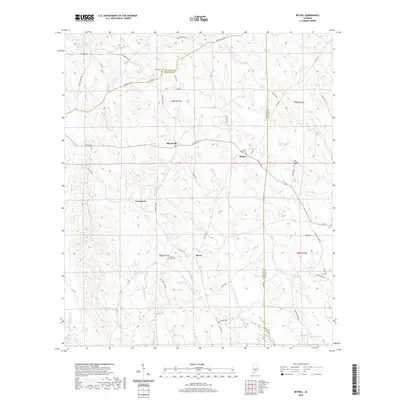 2020 Bethel2020 Print · USGSConecuh County and its neighbors are shown in this modern survey of rural Alabama crossroads and historic travel ways. Trace local history through family cemeteries like Middleton Cem and Old Bethel Cem or the legacy of the Old Federal Rd.
 - 2020 Map of Uriah East, 2020 Print
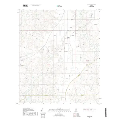 2020 Uriah East2020 Print · USGSSouthern Alabama at the edge of Monroe, Conecuh, and Escambia counties is captured here in 2020. Local researchers can trace old family roots and rural community hubs through landmarks like Sowell Old Field Cem, Uriah, and Goodway.
 - 2020 Map of Old Town, 2020 Print
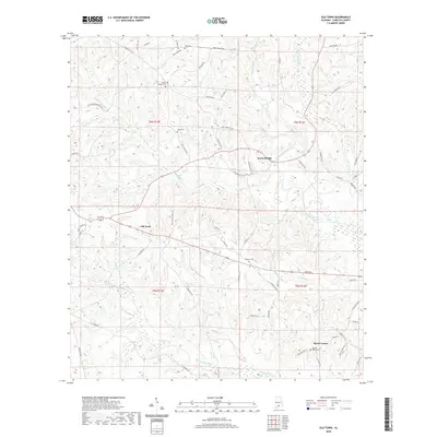 2020 Old Town2020 Print · USGSIn the river country of southern Alabama, this modern survey documents a landscape of quiet rural hamlets and winding waterways. Genealogists can locate family landmarks like Mount Union Cem, Hall Cem, and the community at Travis Bridge along the Sepulga River.
 - 2020 Map of Nymph, 2020 Print
 2020 Nymph2020 Print · USGSConecuh and Escambia counties meet in this rural Alabama landscape during the early twenty-first century. Genealogists and local historians can trace family roots through numerous sites including Sparta Cemetery, Holly Grove Cemetery, and the settlement of Nymph.
 - 2020 Map of Loango, 2020 Print
 2020 Loango2020 Print · USGSSouthern Alabama's rural timber and creek lands are captured here at the turn of the decade. Genealogists and local historians can trace family roots near Loango and Melrose, or locate historical sites like Mitchell Cem and Garwin Cem along the Sepulga River.
 - 2020 Map of McKenzie, 2020 Print
 2020 McKenzie2020 Print · USGSButler County and its southern neighbors appear here in the modern era, showing a landscape of timbered hills and rural crossroads. Researchers can locate numerous family burial grounds including South Butler Cem and Elizabeth Cem near McKenzie.
 - 2020 Map of Brooks, 2020 Print
 2020 Brooks2020 Print · USGSThe borderlands of Conecuh and Covington counties are captured here in the early twenty-first century as a network of creek-side settlements. Researchers can trace local lineage through Brooks Cem and Mancil Cem while exploring the riverine geography of the Sepulga River and Bold Sluice Shoal.
 - 2020 Map of Pine Apple South, 2020 Print
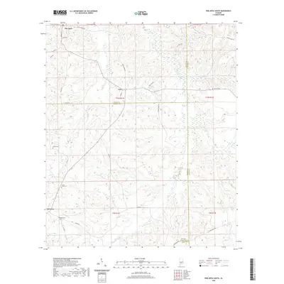 2020 Pine Apple South2020 Print · USGSWilcox, Monroe, and Butler counties meet in this rural Alabama landscape as it appeared in recent years. Researchers can locate several historical burial sites and crossroads including Old Texas, Bethlehem Cem, and Jenkins Chapel Cem.
 - 2020 Map of Brooklyn, 2020 Print
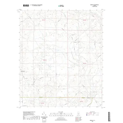 2020 Brooklyn2020 Print · USGSCoastal plain creek systems and the Sepulga River define this rural landscape as it appeared in the early twenty-first century. Researchers can trace family sites near Johnston Cem, Horton Cem, and the old settlement of Brooklyn.
 - 2020 Map of Skinnerton, 2020 Print
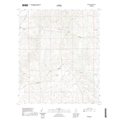 2020 Skinnerton2020 Print · USGSMonroe and Conecuh counties meet in this rural Alabama landscape during the early twenty-first century, defined by the winding waters of the Sepulga River. Genealogists can locate family landmarks such as Midway Cem, Lone Star Cem, and the settlement at Skinnerton.
 - 2020 Map of Belleville, 2020 Print
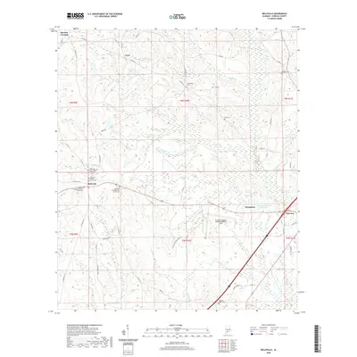 2020 Belleville2020 Print · USGSConecuh County’s rural landscape comes into focus during this modern era of mapping, centered on the settlement of Belleville. Researchers can trace the locations of family burial grounds like Riley Cem and Ivey Cem or locate historic local congregations including Belleville Faulk AME Zion Church.
 - 2020 Map of Range, 2020 Print
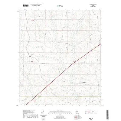 2020 Range2020 Print · USGSConecuh County remains a landscape of quiet rural settlements and winding creeks in the early twenty-first century. Genealogists can trace family connections through sites like Ramah Cem, Range Cem, and the community at Janes Mill.
 - 2020 Map of Garland, 2020 Print
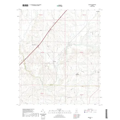 2020 Garland2020 Print · USGSSouthern Butler County and northern Conecuh County are documented here in 2020, showing a landscape of small crossroads and quiet creek bottoms. Researchers can locate numerous family burial sites like Pressley Cem and Walker Cem or trace the path of the Sepulga River past Garland.
 - 2021 Map of Damascus, 2021 Print
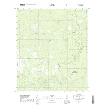 2021 Damascus2021 Print · USGSThe confluence of the Sepulga and Conecuh Rivers defines this rural Alabama landscape as it appeared in recent years. Researchers can trace local lineage through numerous named burial grounds like McGowin Cem and the Hoomesville Church Cem near the Damascus settlement.
 - 2021 Map of Dixie, 2021 Print
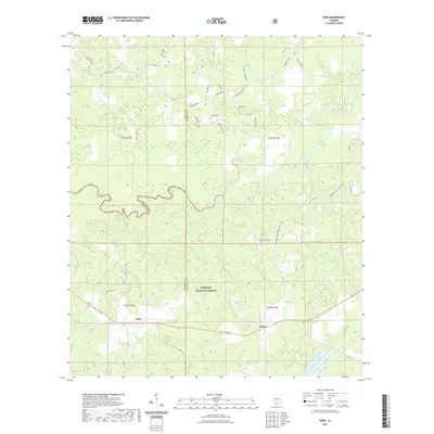 2021 Dixie2021 Print · USGSThe rural borderlands of South Alabama come into focus in this recent survey of the timber and river country near Dixie and Rome. Researchers can locate family landmarks like Feagin Cem and Mason Cem tucked between the Conecuh River and the Conecuh National Forest.
 - 2024 Map of McKenzie, 2024 Print
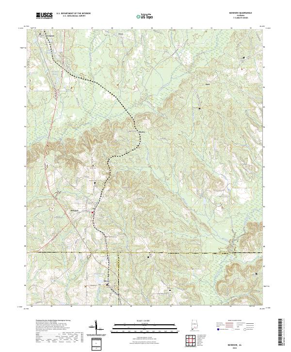 2024 McKenzie2024 Print · USGSMcKenzie and Georgiana stand at the center of this rural Alabama landscape where three counties converge. Genealogists can trace family roots through several local landmarks like South Butler Cem, Wesley Chapel Cem, and Sweet Home Baptist Church.
Showing maps 1-25 of 48
Top cities of Conecuh County
Frequently asked questions
- What are the different types of historical maps available for Conecuh County?
- What is the oldest map of Conecuh County?
- Where can I purchase historical maps of Conecuh County for my home or office?
- Where can I download high-res historical maps of Conecuh County?
- Are there historical topographic maps available for Conecuh County?
- Is there historical aerial imagery available for Conecuh County?
- Where are historical maps of Conecuh County sourced from?