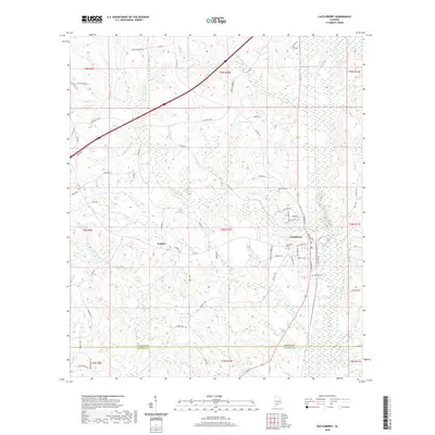
2020 Map of Castleberry
USGS Topo · Published 2020About this map
The town of Castleberry serves as the focal point for this Conecuh County landscape, where the local economy and geography remain closely tied to the water and rail lines. Modern infrastructure intersects with historical sites, particularly evident in the proximity of Buffington Cem and Holland Cem to the residential streets and the dual lines of W Railroad St and E Railroad St. The topography is defined by the drainage systems of Murder Creek and Panther Creek, flowing toward the southern border near the Conecuh Co Escambia Co line.
Find a feature on this map
72 named features on this map. Tap any name to fly to it.
Don’t see what you’re looking for? This feature index may not catch every label — zoom into the map to look around manually.
Map Details
Editions of this 2020 Castleberry Map
This is the sole edition of this map. No revisions or reprints were ever made.
Other maps of this area

1953 · Andalusia
USGS Topo · 1:250,000

1957 · Andalusia
USGS Topo · 1:250,000

1960 · Brewton North
USGS Topo · 1:24,000

1960 · Wallace
USGS Topo · 1:24,000

1971 · Range
USGS Topo · 1:24,000

1971 · Castleberry
USGS Topo · 1:24,000

1971 · Belleville
USGS Topo · 1:24,000

1971 · Repton
USGS Topo · 1:24,000

1982 · Shipps Creek
USGS Topo · 1:24,000

1982 · Evergreen
USGS Topo · 1:24,000