
1982 Map of Shipps Creek
USGS Topo · Published 1982About this map
Bethel Mill Creek and several other drainage systems dominate this rural landscape in Escambia County, Alabama. The 1982 survey depicts a heavily wooded and dissected terrain characterized by a dense network of watercourses, including Shipps Creek, Cedar Creek, and Crossway Creek. These streams create a series of ridges and valleys that define the local topography, with roads following the higher ground to connect isolated clearings and structures. Sparse development is evident, primarily concentrated along the unimproved roads in the southern portion of the map. A small Cem is marked near the bank of Bethel Mill Creek, providing a point of interest for genealogists and local historians tracing early family sites in this quiet corner of the state. The presence of Moye Creek and Long Branch further emphasizes the intricate natural irrigation that has long influenced land use and movement in the region.
Find a feature on this map
9 named features on this map. Tap any name to fly to it.
Don’t see what you’re looking for? This feature index may not catch every label — zoom into the map to look around manually.
Map Details
Editions of this 1982 Shipps Creek Map
This is the sole edition of this map. No revisions or reprints were ever made.
Other maps of this area

1953 · Andalusia
USGS Topo · 1:250,000

1957 · Andalusia
USGS Topo · 1:250,000

1959 · Brewton South
USGS Topo · 1:24,000

1960 · Brewton South
USGS Topo · 1:24,000

1960 · Brewton North
USGS Topo · 1:24,000

1971 · Castleberry
USGS Topo · 1:24,000
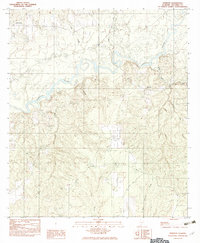
1982 · Roberts
USGS Topo · 1:24,000

1982 · Damascus
USGS Topo · 1:24,000

1982 · Nymph
USGS Topo · 1:24,000
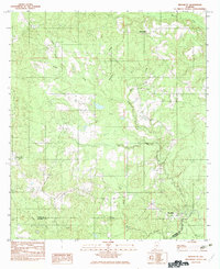
1982 · Brooklyn
USGS Topo · 1:24,000