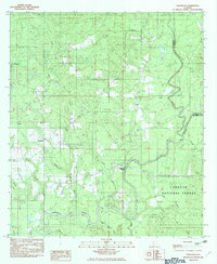
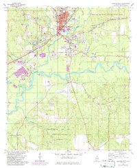
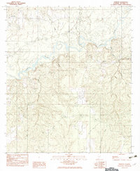
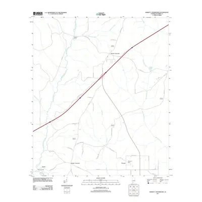
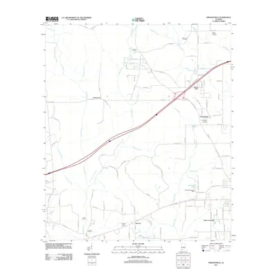
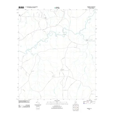
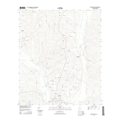
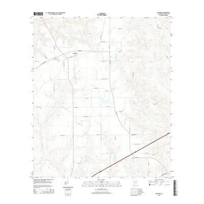
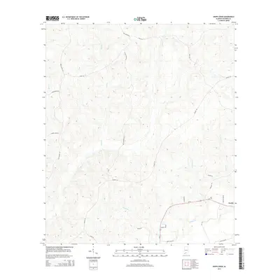
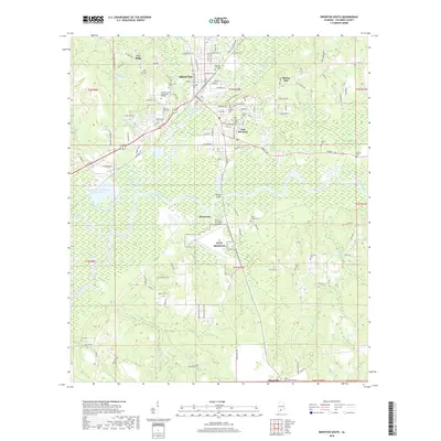
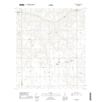
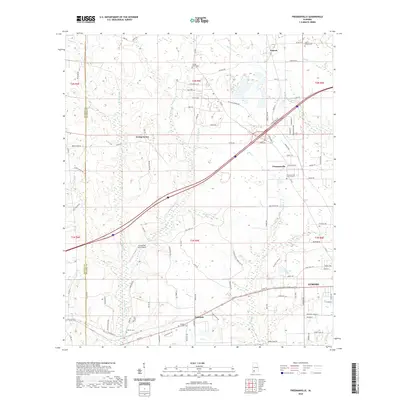
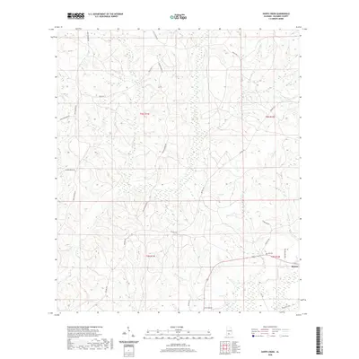
1982 Map of Damascus
USGS Topo · Published 1982About this map
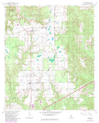
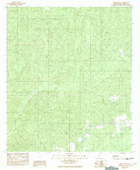
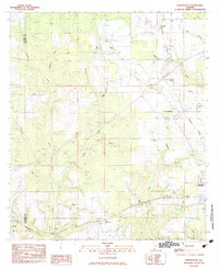
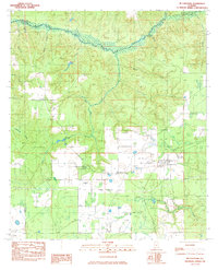
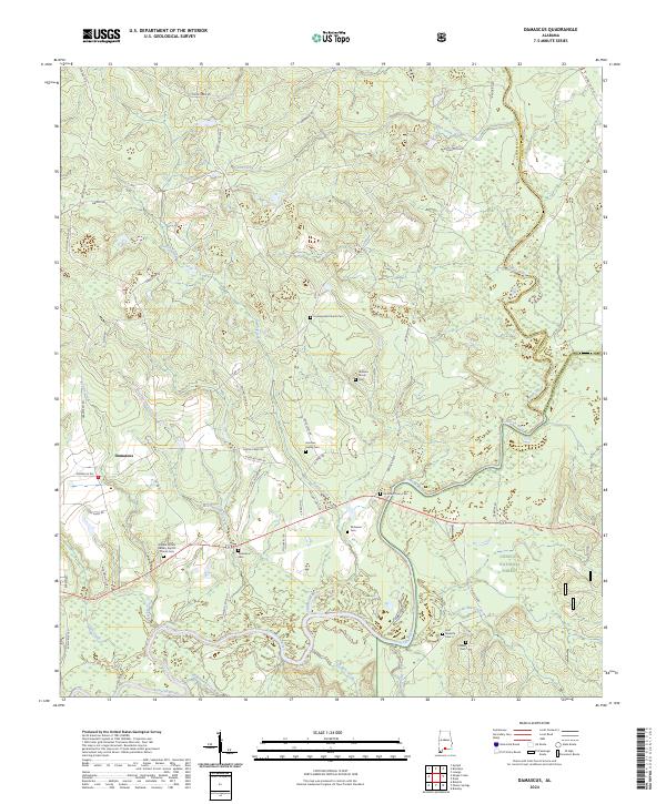
The Conecuh National Forest dominates the southeastern quadrant of this area in the early 1980s, where the Conecuh River and Sepulga River converge. This landscape is defined by its intricate drainage network, featuring dozens of named watercourses such as Meeting House Creek, Hell Hole Creek, and Mendenall Cr. Small, rural settlements like Damascus, Boykin, and Teddy are connected by a system of country roads and crossings, most notably McGowin Bridge spanning the Conecuh. The distribution of these communities and the naming of features like Fishpond suggest a history deeply tied to the land and local waterways on the border of Escambia and Conecuh counties. For the genealogist or local historian, the map preserves the exact locations of these traditional settlements and family-named landmarks just before the era of modern digital mapping.
Find a feature on this map
21 named features on this map. Tap any name to fly to it.
Don’t see what you’re looking for? This feature index may not catch every label — zoom into the map to look around manually.
Map Details
Editions of this 1982 Damascus Map
This is the sole edition of this map. No revisions or reprints were ever made.
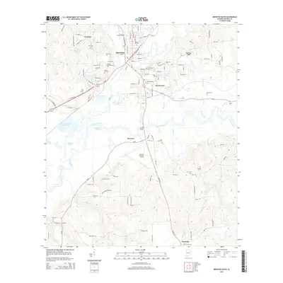
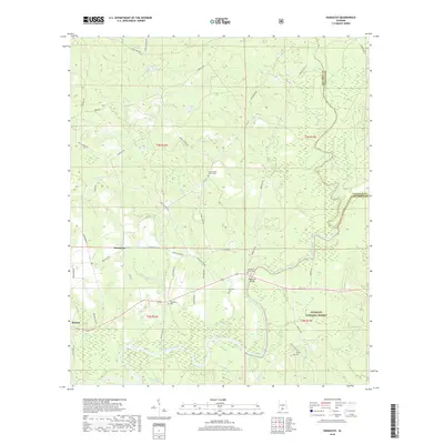
Historical Maps of Damascus Through Time
69 maps found

1921 Fort Barrancas
Escambia County, AL

1921 Muscogee
Escambia County, AL
1959 Brewton South
Escambia County, AL
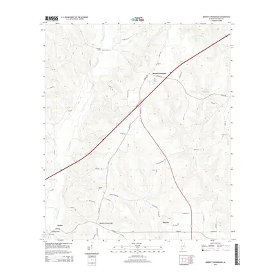
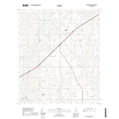
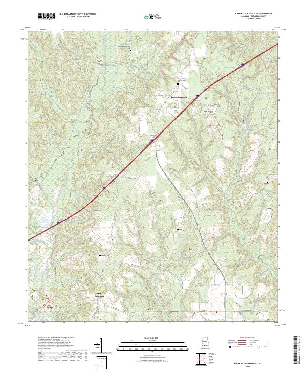
1960 Barnett Crossroads
Escambia County, AL
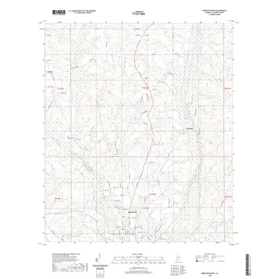
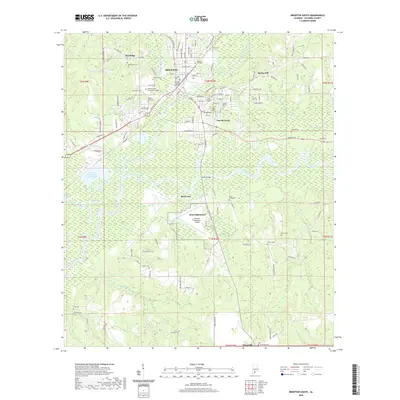
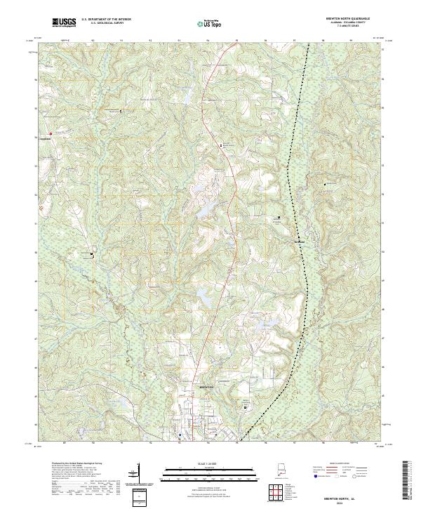
1960 Brewton North
Escambia County, AL
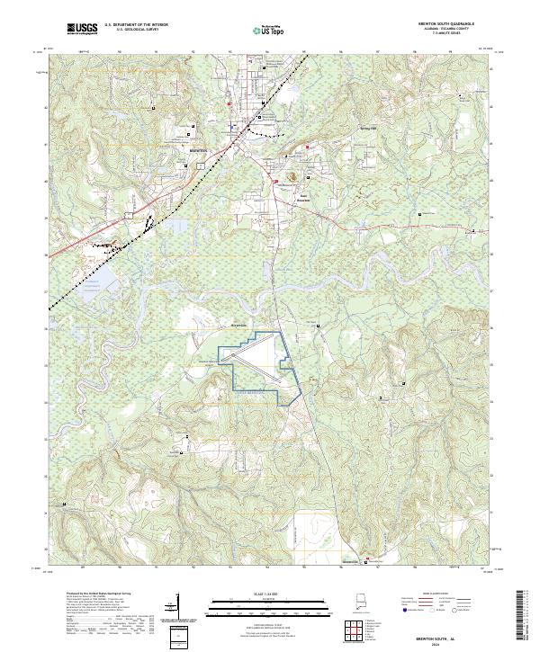
1960 Brewton South
Escambia County, AL
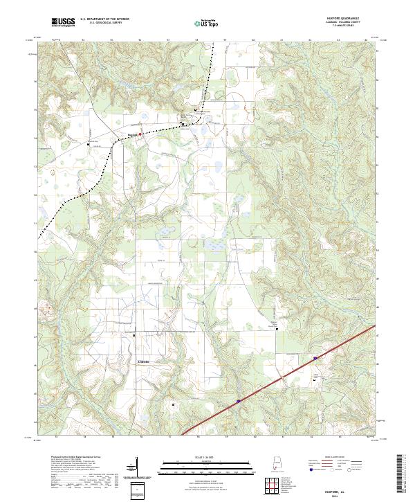
1960 Huxford
Escambia County, AL
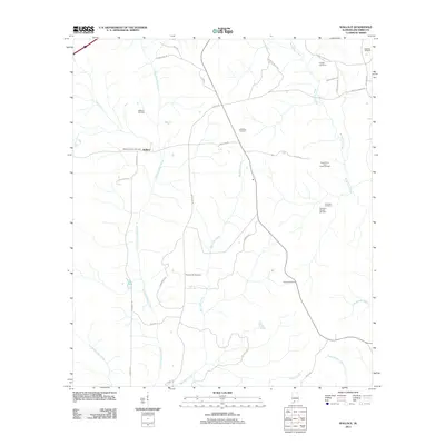
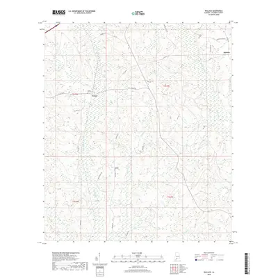
1960 Wallace
Escambia County, AL
1982 Damascus
Escambia County, AL
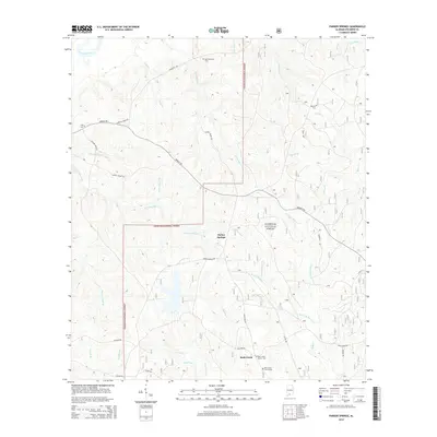
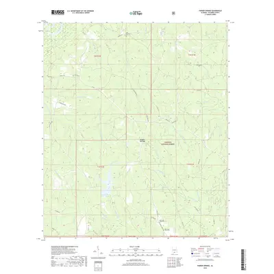
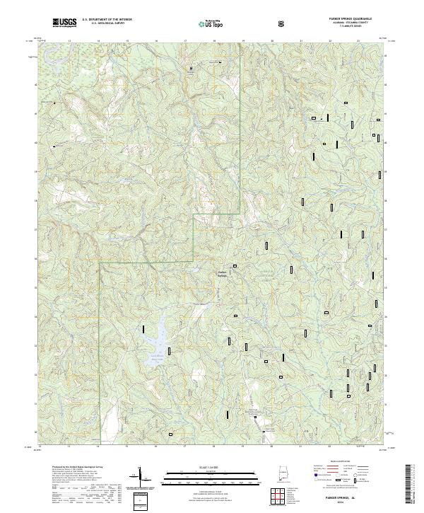
1982 Parker Springs
Escambia County, AL
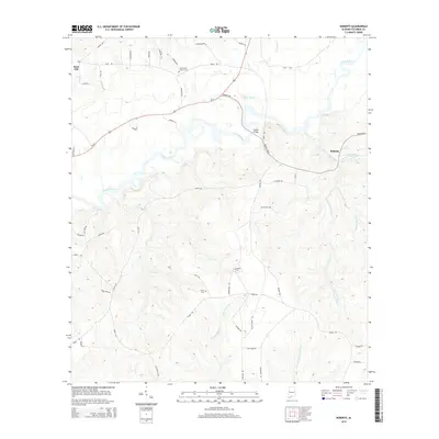
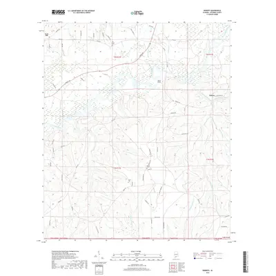
1982 Roberts
Escambia County, AL
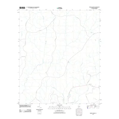
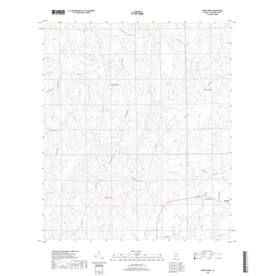
1982 Shipps Creek
Escambia County, AL
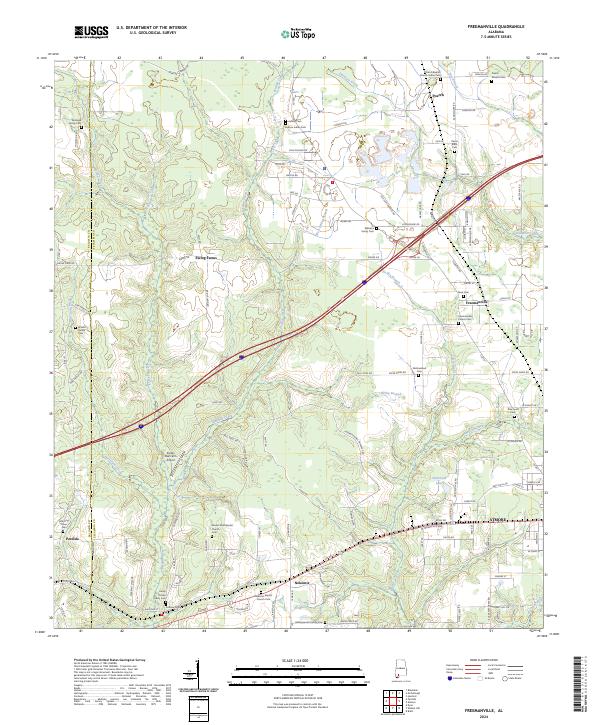
1983 Freemanville
Escambia County, AL
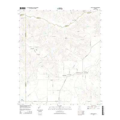
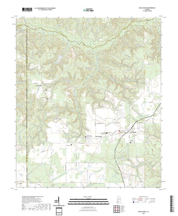
1983 McCullough
Escambia County, AL
2011 Barnett Crossroads
Escambia County, AL
2011 Brewton North
Escambia County, AL
2011 Brewton South
Escambia County, AL
2011 Damascus
Escambia County, AL
2011 Freemanville
Escambia County, AL
2011 Huxford
Escambia County, AL
2011 McCullough
Escambia County, AL
2011 Parker Springs
Escambia County, AL
2011 Roberts
Escambia County, AL
2011 Shipps Creek
Escambia County, AL
2011 Wallace
Escambia County, AL
2014 Barnett Crossroads
Escambia County, AL
2014 Brewton North
Escambia County, AL
2014 Brewton South
Escambia County, AL
2014 Damascus
Escambia County, AL
2014 Freemanville
Escambia County, AL
2014 Huxford
Escambia County, AL
2014 McCullough
Escambia County, AL
2014 Parker Springs
Escambia County, AL
2014 Roberts
Escambia County, AL
2014 Shipps Creek
Escambia County, AL
2014 Wallace
Escambia County, AL
2018 Barnett Crossroads
Escambia County, AL
2018 Brewton North
Escambia County, AL
2018 Brewton South
Escambia County, AL
2018 Damascus
Escambia County, AL
2018 Freemanville
Escambia County, AL
2018 Huxford
Escambia County, AL
2018 McCullough
Escambia County, AL
2018 Parker Springs
Escambia County, AL
2018 Roberts
Escambia County, AL
2018 Shipps Creek
Escambia County, AL
2018 Wallace
Escambia County, AL
2020 Barnett Crossroads
Escambia County, AL
2020 Brewton North
Escambia County, AL
2020 Brewton South
Escambia County, AL
2020 Freemanville
Escambia County, AL
2020 Huxford
Escambia County, AL
2020 McCullough
Escambia County, AL
2020 Roberts
Escambia County, AL
2020 Shipps Creek
Escambia County, AL
2020 Wallace
Escambia County, AL
2021 Damascus
Escambia County, AL
2021 Parker Springs
Escambia County, AL
2024 Barnett Crossroads
Escambia County, AL
2024 Brewton North
Escambia County, AL
2024 Brewton South
Escambia County, AL
2024 Damascus
Escambia County, AL
2024 Freemanville
Escambia County, AL
2024 Huxford
Escambia County, AL
2024 McCullough
Escambia County, AL
2024 Parker Springs
Escambia County, AL
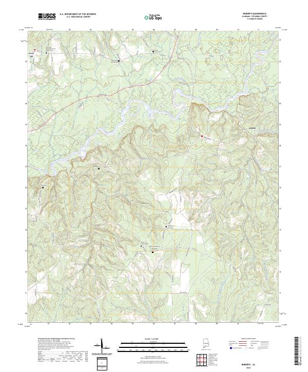
2024 Roberts
Escambia County, AL
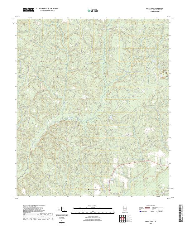
2024 Shipps Creek
Escambia County, AL
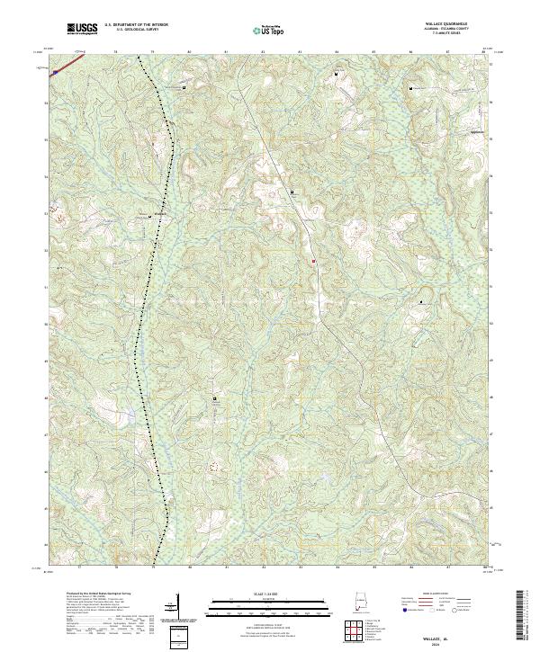
2024 Wallace
Escambia County, AL