
1960 Map of Wallace
USGS Topo · Published 1961About this map
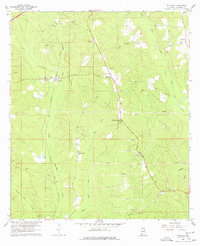
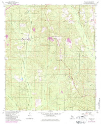
Wallace and Appleton anchor this 1960 rural Alabama landscape, where the Louisville and Nashville railroad cuts a vital corridor through northern Escambia County. The map reveals a community structured around small country churches and family-named landmarks, including Hanberry Ch and Pleasant Grove Ch. Extensive networks of firebreaks crisscross the southern portion of the quadrangle, indicating intensive timber management in the pine forests surrounding Chavers Creek and Wild Fork Creek. Local genealogy is well-represented through several burial grounds such as Hanberry Cem and Hammac Cem. The terrain is defined by the winding paths of Little Escambia Creek and Burnt Corn Creek, with a Lookout Tower positioned for fire observation over the dense woodland. This survey captures a moment when rural industry and faith-centered settlements defined life in the Gulf Coastal Plain.
Find a feature on this map
21 named features on this map. Tap any name to fly to it.
Don’t see what you’re looking for? This feature index may not catch every label — zoom into the map to look around manually.
Map Details
Editions of this 1960 Wallace Map
3 editions found
Other maps of this area

1953 · Andalusia
USGS Topo · 1:250,000

1957 · Andalusia
USGS Topo · 1:250,000

1959 · Brewton South
USGS Topo · 1:24,000

1960 · Brewton South
USGS Topo · 1:24,000

1960 · Pollard
USGS Topo · 1:24,000

1960 · Brewton North
USGS Topo · 1:24,000

1960 · Barnett Crossroads
USGS Topo · 1:24,000
1960 · Flomaton
USGS Topo · 1:24,000

1971 · Range
USGS Topo · 1:24,000

1971 · Castleberry
USGS Topo · 1:24,000