
1960 Map of Barnett Crossroads
USGS Topo · Published 1961About this map
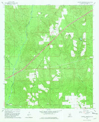
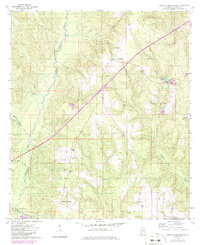
Big Escambia Creek winds through the western half of this Escambia County landscape, defining the topography of the region in the late 1950s. The settlement pattern is anchored by Barnett Crossroads and Stanley Crossroads, which serve as central points for a rural network of family-named landmarks and small community centers. Evidence of local life is scattered throughout the timbered and agricultural land, from the Maschmeyer Lookout Tower in the south to a cluster of rural houses of worship including Canaan Ch, New Bethlehem Ch, and Magnolia Ch. The map reveals the infrastructure of the era, such as Gressett Bridge crossing the creek and various extraction sites labeled simply as Gravel Pit. Genealogists may find value in the specific locations of several local burial grounds, including Emmons Cem and the Gravel Hill Cem.
Find a feature on this map
26 named features on this map. Tap any name to fly to it.
Don’t see what you’re looking for? This feature index may not catch every label — zoom into the map to look around manually.
Map Details
Editions of this 1960 Barnett Crossroads Map
3 editions found
Other maps of this area

1953 · Andalusia
USGS Topo · 1:250,000

1957 · Andalusia
USGS Topo · 1:250,000

1960 · Atmore
USGS Topo · 1:24,000

1960 · Huxford
USGS Topo · 1:24,000

1960 · Pollard
USGS Topo · 1:24,000

1960 · Wallace
USGS Topo · 1:24,000
1960 · Flomaton
USGS Topo · 1:24,000

1971 · Range
USGS Topo · 1:24,000

1972 · Frisco City SE
USGS Topo · 1:24,000

1972 · Uriah East
USGS Topo · 1:24,000