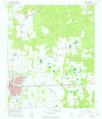
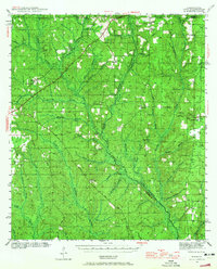
1960 Map of Atmore
USGS Topo · Published 1961About this map
The town of Atmore serves as a bustling center of activity along the Louisville and Nashville railroad at the turn of the 1960s. The urban grid is dense with civic infrastructure, including the Armory, Hospital, and several educational facilities like the County Training Sch and Rachel-Patterson Sch. North of the main settlement, the vast State Prison Farm dominates the landscape along the transition into the wet bottoms of Weather Creek.
Find a feature on this map
44 named features on this map. Tap any name to fly to it.
Don’t see what you’re looking for? This feature index may not catch every label — zoom into the map to look around manually.
Map Details
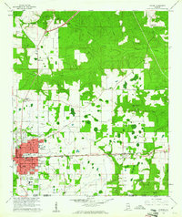
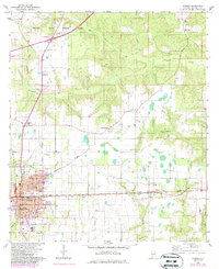
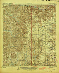
Editions of this 1960 Atmore Map
3 editions found
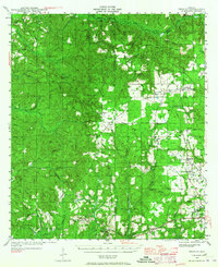
Other maps of this area

1941 · Century
USGS Topo · 1:62,500
1942 · Perdido
USGS Topo · 1:62,500
1942 · Dyas
USGS Topo · 1:62,500

1943 · Century
USGS Topo · 1:62,500

1944 · Dyas
USGS Topo · 1:62,500
1944 · Perdido
USGS Topo · 1:62,500

1953 · Andalusia
USGS Topo · 1:250,000

1957 · Andalusia
USGS Topo · 1:250,000

1957 · Pensacola
USGS Topo · 1:250,000

1959 · Pensacola
USGS Topo · 1:250,000