2020s Maps of Florala, Alabama
Explore 4 historic maps of Florala from the 2020s. These maps offer a rare glimpse into what life looked like during the 2020s — showing old roads, neighborhoods, homes, and landmarks that have changed or disappeared over time.
Whether you're researching your family's past, planning a metal detecting trip, or studying how Florala's landscape evolved across the 2020s, these high-resolution maps are a powerful tool for exploring the history of this region.
- Focus on a specific era: All maps on this page are from the 2020s, giving you a focused view of this time period.
- See what’s changed: Compare century-old streets, trails, and buildings to today's modern landscape using overlays and satellite layers.
- Research with precision: Use these maps for genealogy, historical research, land use analysis, or educational projects.
- View, download, or print: Maps are fully viewable online in high resolution, and can be downloaded or printed for your own records.
Start exploring Florala's history through authentic maps from the 2020s. This is your window into the past.
Florala, AL maps
(4)- 2020 Map of Florala, 2020 Print
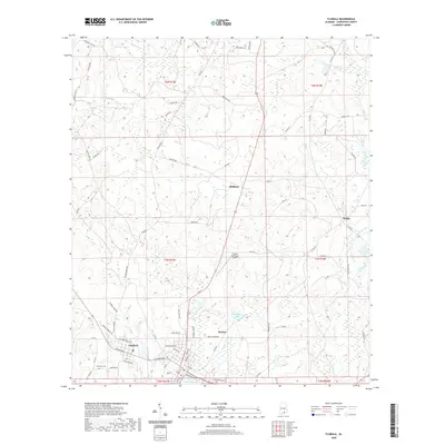 2020 Florala2020 Print · USGSCovers Florala, including Lockhart, McRae, and other nearby areas
 - 2021 Map of Paxton, 2021 Print
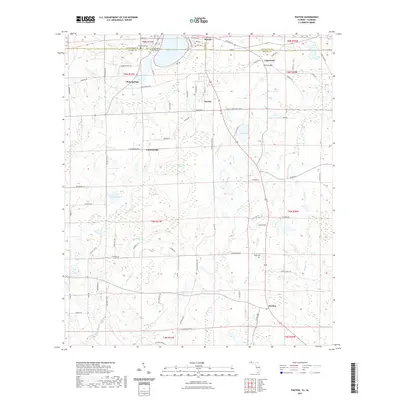 2021 Paxton2021 Print · USGSCovers Florala, including Paxton, Flowersville, and other nearby areas
 - 2024 Map of Florala, 2024 Print
 2024 Florala2024 Print · USGSThe border towns of Florala and Lockhart are documented here alongside the expansive Lake Jackson. Genealogists and historians can trace local landmarks like Lockhart Cem, the Florala Municipal Airport, and rural settlements like Stedman.
 - 2024 Map of Paxton, 2024 Print
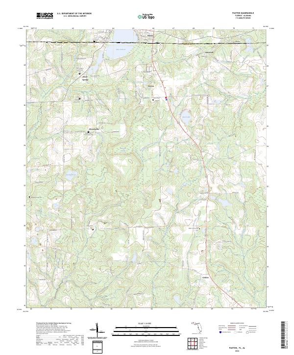 2024 Paxton2024 Print · USGSThe Florida-Alabama borderlands come into focus here, showing the highest point in Florida just as it enters the twenty-first century. Genealogists can trace family footprints at Clear Springs Community Cem, Miller Community Cem, and the streets of Paxton.
End of results
Showing maps 1-4 of 4
Top cities near Florala
- Crestview historical maps
- Opp historical maps
- Paxton historical maps
- Laurel Hill historical maps
- Kinston historical maps
- Lockhart historical maps
See more
Frequently asked questions
- What are the different types of historical maps available for Florala?
- What is the oldest map of Florala?
- Where can I purchase historical maps of Florala for my home or office?
- Where can I download high-res historical maps of Florala?
- Are there historical topographic maps available for Florala?
- Is there historical aerial imagery available for Florala?
- Where are historical maps of Florala sourced from?