Old Maps of Florala, Alabama for Metal Detecting
Plan your next treasure hunt with 21 historic maps of Florala. Find old homesites, ghost towns, trails, and gathering spots that may be lost to time — perfect for identifying promising metal detecting locations.
- Locate forgotten sites: Uncover places like long-lost settlements, abandoned rail lines, or gathering spots.
- Plan better hunts: Use map overlays combined with LiDAR or satellite views to narrow in on historically rich areas.
- Made for detectorists: Thousands of hobbyists use these maps to discover relics, coins, and hidden history.
Use these historic maps to boost your research and find new opportunities beneath the surface of Florala.
Florala, AL maps
(21)- 1949 Map of Laurel Hill, 1961 Print
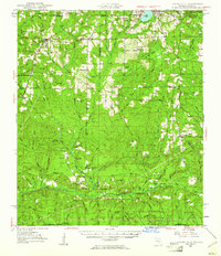 1949 Laurel Hill1961 Print · USGSOkaloosa and Walton counties at mid-century reveal a landscape of creek-fed bays and isolated timber settlements along the Alabama line. Genealogists can trace family names and lost locations through Travelers Rest Ch, Old Dorcas Cem, and the Childrens Home.2 unique versions available
 - 1950 Map of Laurel Hill
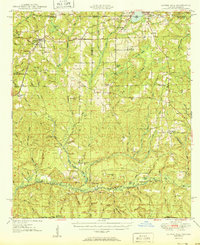 1950 Laurel Hill1950 Print · USGSThe Florida-Alabama border region is captured here at mid-century, showcasing the timberlands and rail-centered settlements between Laurel Hill and Florala. Researchers can trace old transportation routes like the Old Spanish Trail and find family sites like Mt Zion Cem or Dorcas Ch.2 unique versions available
 - 1953 Map of Andalusia, 1965 Print
 1953 Andalusia1965 Print · USGSSouth Alabama in the mid-twentieth century remains a land of pine forests and river-fed settlements. You can trace the vital rail corridors of the Louisville & Nashville and locate regional centers such as Andalusia, Brewton, and Monroeville.3 unique versions available
 - 1957 Map of Andalusia
 1957 Andalusia1957 Print · USGSSouthern Alabama in the mid-1950s was a landscape defined by timbered stretches and the rhythmic flow of the Alabama River. Researchers can trace the legacy of the rail era through the Central of Georgia tracks and the storied river bluffs at Choctaw Bluff.
 - 1957 Map of Pensacola, 1967 Print
 1957 Pensacola1967 Print · USGSThe Florida Panhandle and Alabama coast are seen here at the height of the Cold War, showcasing a unique mix of military aviation and emerging beach tourism. Genealogists and local historians can trace legacy sites like Old Corry Field, the lumber town of Bagdad, and the coastal reaches of Santa Rosa Island.3 unique versions available
 - 1959 Map of Pensacola
 1959 Pensacola1959 Print · USGSThe Florida Panhandle and Alabama coast come alive in this late fifties survey of military aviation and maritime life. Genealogists can trace family roots in Bagdad, Loxley, and Milton while mapping the rails of the Louisville and Nashville.
 - 1960 Map of Pensacola
 1960 Pensacola1960 Print · USGSThe Florida Panhandle and Alabama's eastern shore are shown during a period of rapid military and coastal growth. Genealogists and historians can trace the mid-century footprints of Warrington, the Pensacola NAS (Chevalier), and the Blackwater River timber lands.
 - 1971 Map of Florala, 1973 Print
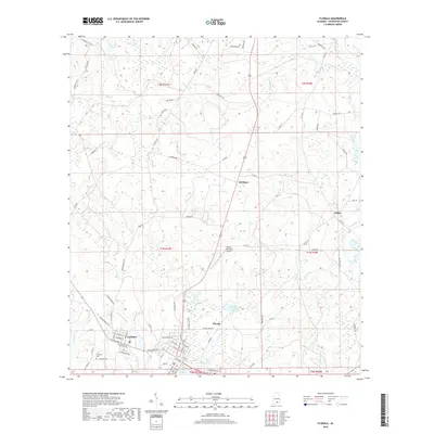
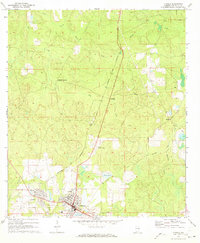 1971 Florala1973 Print · USGSThe Alabama-Florida border comes alive in the early seventies, centered on the lakeside community of Florala and neighboring Lockhart. Genealogists and historians can trace local infrastructure through the Louisville and Nashville Railroad and smaller hubs like Johnsons Quarters.2 unique versions available
 - 1973 Map of Paxton, 1975 Print
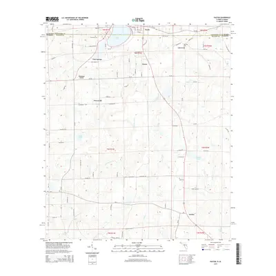
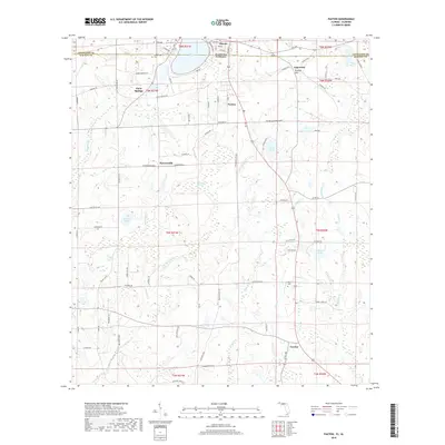
 1973 Paxton1975 Print · USGSThe Florida-Alabama borderlands come to life in the early seventies, centered on the rail-side commerce of Paxton and Florala. Local historians can locate specific rural landmarks like St Marks Ch, the Childrens Home, and the Louisville and Nashville rail corridor.3 unique versions available
 - 1978 Map of Crestview, 1982 Print
 1978 Crestview1982 Print · USGSThe Florida Panhandle and southern Alabama borderlands appear here in the late seventies as the military and timber industries shaped the landscape. Genealogists can trace family roots through small settlements like Cannon Town or Svea, and locate old sites like Aux Field No 4 (Abandoned).2 unique versions available
 - 1986 Map of Andalusia
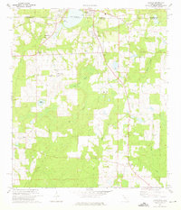
 1986 Andalusia1986 Print · USGSCovington County and the Wiregrass region are shown here in the mid-1980s, centered on the growing hubs of Andalusia and Opp. Genealogists and local historians can trace legacy sites like the Old Pioneer Cem, Straughn Sch, and the rail lines of the Louisville and Nashville RR.2 unique versions available
 - 2011 Map of Florala, 2011 Print
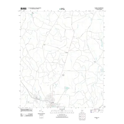 2011 Florala2011 Print · USGSCovers Florala, including Lockhart, McRae, and other nearby areas
 - 2012 Map of Paxton, 2012 Print
 2012 Paxton2012 Print · USGSCovers Florala, including Paxton, Flowersville, and other nearby areas
 - 2014 Map of Florala, 2014 Print
 2014 Florala2014 Print · USGSCovers Florala, including Lockhart, McRae, and other nearby areas
 - 2015 Map of Paxton, 2015 Print
 2015 Paxton2015 Print · USGSCovers Florala, including Paxton, Flowersville, and other nearby areas
 - 2018 Map of Florala, 2018 Print
 2018 Florala2018 Print · USGSCovers Florala, including Lockhart, McRae, and other nearby areas
 - 2018 Map of Paxton, 2018 Print
 2018 Paxton2018 Print · USGSCovers Florala, including Paxton, Flowersville, and other nearby areas
 - 2020 Map of Florala, 2020 Print
 2020 Florala2020 Print · USGSCovers Florala, including Lockhart, McRae, and other nearby areas
 - 2021 Map of Paxton, 2021 Print
 2021 Paxton2021 Print · USGSCovers Florala, including Paxton, Flowersville, and other nearby areas
 - 2024 Map of Florala, 2024 Print
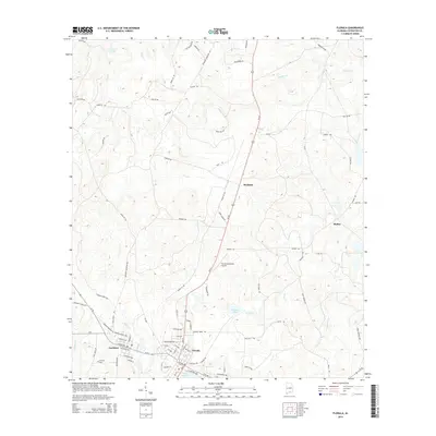
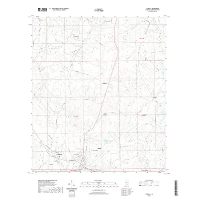
 2024 Florala2024 Print · USGSThe border towns of Florala and Lockhart are documented here alongside the expansive Lake Jackson. Genealogists and historians can trace local landmarks like Lockhart Cem, the Florala Municipal Airport, and rural settlements like Stedman.
 - 2024 Map of Paxton, 2024 Print
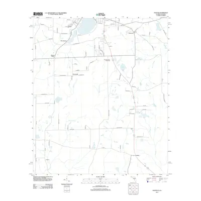
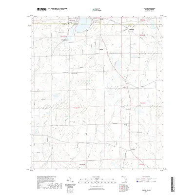
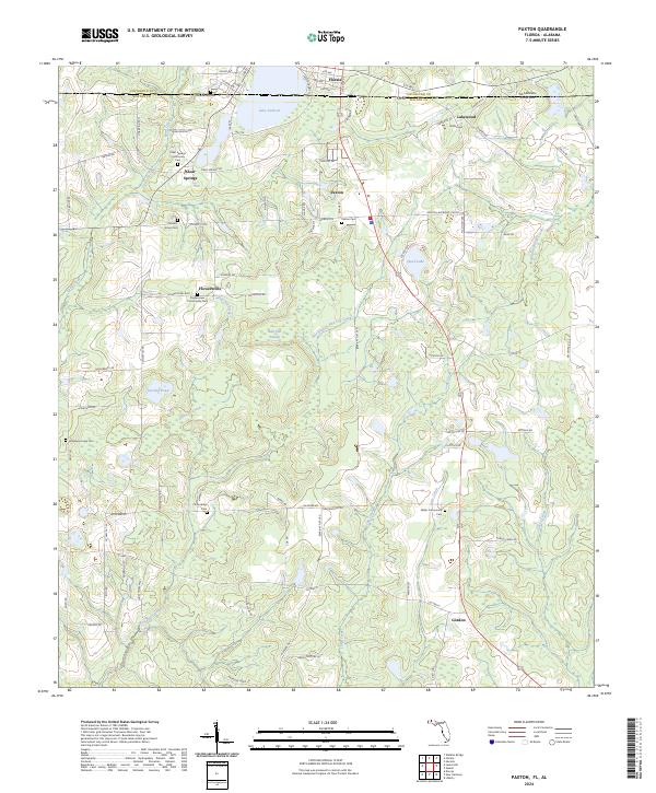 2024 Paxton2024 Print · USGSThe Florida-Alabama borderlands come into focus here, showing the highest point in Florida just as it enters the twenty-first century. Genealogists can trace family footprints at Clear Springs Community Cem, Miller Community Cem, and the streets of Paxton.
End of results
Showing maps 1-21 of 21
Top cities near Florala
- Crestview historical maps
- Opp historical maps
- Paxton historical maps
- Laurel Hill historical maps
- Kinston historical maps
- Lockhart historical maps
See more
Frequently asked questions
- What are the different types of historical maps available for Florala?
- What is the oldest map of Florala?
- Where can I purchase historical maps of Florala for my home or office?
- Where can I download high-res historical maps of Florala?
- Are there historical topographic maps available for Florala?
- Is there historical aerial imagery available for Florala?
- Where are historical maps of Florala sourced from?