Old Maps of Collinsville, Alabama for Academic Research
Study the evolution of Collinsville with 39 high-resolution historic maps. Whether you're teaching, researching, or modeling changes in land use, these maps provide essential visual documentation of urban, environmental, and geographic change.
- Analyze long-term change: Track patterns in development, transportation, and natural features.
- Ideal for environmental or urban studies: Support academic projects with primary historical map data.
- Use in the classroom or lab: Educators and researchers rely on these maps to bring historical context to life.
These maps are a powerful tool for teaching, research, and visualizing how Collinsville has changed over the decades.
Collinsville, AL maps
(39)- 1893 Map of Fort Payne
 1893 Fort Payne1893 Print · USGSNortheast Alabama is shown here in the late nineteenth century as the rail network transformed the valley floor. Genealogists and historians can trace family-named crossroads like Hoge's X Roads and vital river crossings including Coker Ferry and Sewell Ferry.
 - 1898 Map of Fort Payne, 1964 Print
 1898 Fort Payne1964 Print · USGSDeKalb and Cherokee counties in the late 1890s are defined by the steep ridges of Lookout Mountain and a bustling network of river ferries. Genealogists can trace family roots through numerous river crossings like Hardwick Ferry and early industrial sites such as Sloan Mill or Abernathy Mill.
 - 1900 Map of Fort Payne
 1900 Fort Payne1900 Print · USGSNortheast Alabama is defined by its deep ridges and river valleys in the late nineteenth century. Researchers can trace the era's ferry network across the Coosa River and find old family-run landmarks like Wagners Store and Santy Mills.6 unique versions available
 - 1936 Map of Crossville
 1936 Crossville1936 Print · USGSDeKalb County and the Sand Mountain area are shown here in the mid-1930s as a thriving rural community of small crossroads and family-named landmarks. Researchers can trace the locations of Orphir Sch, Friendship Ch, and early businesses like Gilbert Store.
 - 1936 Map of Roden Gap
 1936 Roden Gap1936 Print · USGSThe upland terrain along the DeKalb and Etowah county line is captured in the mid-1930s as the Tennessee Valley Authority began its systematic mapping. Researchers can trace rural landmarks like Wallace, Marcus Sch, and the natural pass at Roden Gap.
 - 1946 Map of Portersville, 1958 Print
 1946 Portersville1958 Print · USGSDeKalb County and the southern reaches of Lookout Mountain appear here just after the war, showing a landscape defined by parallel ridges and valley rail lines. Genealogists can locate family landmarks like Longshore Mill, McNutt Memorial Ch, and the Brown Fell Sch.2 unique versions available
 - 1947 Map of Portersville
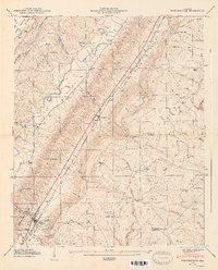 1947 Portersville1947 Print · USGSBig Wills Valley was a vital rail and agricultural corridor after the war, tucked between the ridges of Sand and Lookout Mountains. Genealogists can trace family landmarks like Longshore Mill, the Brown Fell Sch, and country churches such as McNutt Memorial Ch.2 unique versions available
 - 1949 Map of Crossville
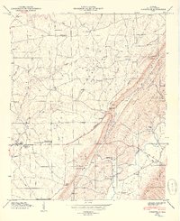 1949 Crossville1949 Print · USGSDeKalb County enters the post-war era as a thriving agricultural plateau centered on Sand Mountain and the Tennessee Valley. Genealogists can trace family footprints through numerous country churches and cemeteries like Pilgrim Rest Ch and Nicholson Cem.2 unique versions available
 - 1955 Map of Rome
 1955 Rome1955 Print · USGSThe tri-state borderlands of Georgia, Alabama, and Tennessee appear in the mid-fifties as a landscape of ridge-and-valley industry and river navigation. Genealogists can trace family footprints near Chattanooga, the iron works of Gadsden, and textile towns like Trion or Summerville.
 - 1958 Map of Rome, 1966 Print
 1958 Rome1966 Print · USGSNorthwest Georgia and neighboring Tennessee and Alabama are captured here in the late fifties, showcasing a landscape of high ridges and river valleys. Researchers can trace historic rail lines like the Seaboard Air Line RR and explore the bounds of Cloudland Canyon State Park or Fort Oglethorpe.3 unique versions available
 - 1959 Map of Keener, 1960 Print
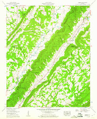 1959 Keener1960 Print · USGSEtowah and De Kalb Counties in the late fifties show a landscape of valley farming and mountain gaps. Genealogists can locate family landmarks like Boyd Cem, Harbour Cem, and the old Duck Springs Ch along the base of Big Ridge.3 unique versions available
 - 1961 Map of Rome
 1961 Rome1961 Print · USGSNorthwest Georgia and neighboring Tennessee and Alabama are shown here at a moment of significant mid-century growth. Researchers can trace the rail networks of the Central of Georgia or locate landmarks within Chickamauga and Chattanooga Nat Military Park.
 - 1963 Map of Rome
 1963 Rome1963 Print · USGSThe tri-state corner of Georgia, Alabama, and Tennessee is captured here during a period of massive reservoir expansion and post-war growth. Genealogists and historians can trace the rail corridors of the Southern Ry or locate landmarks like Fort Oglethorpe and Cloudland Canyon State Park.
 - 1967 Map of Leesburg, 1970 Print
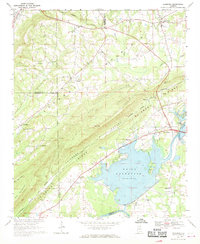 1967 Leesburg1970 Print · USGSCherokee County enters a new era in the late sixties as the newly created Weiss Reservoir reshapes the Coosa River valley. Researchers can locate long-standing community landmarks like Olivers Chapel, Dixon Shop, and the Livingston Jr High Sch.3 unique versions available
 - 1975 Map of Crossville, 1977 Print
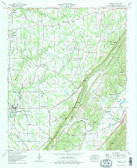 1975 Crossville1977 Print · USGSDeKalb County communities sit atop the Sand Mountain plateau and descend into Big Wills Valley during the mid-seventies. Genealogists can trace family names through the Red Hill Cem and Nicholson Cem or locate rural landmarks like Skirum and Liberty Hill Ch.2 unique versions available
 - 1975 Map of Portersville, 1977 Print
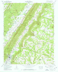 1975 Portersville1977 Print · USGSDeKalb County and the parallel ridges of the Alabama valley-and-ridge country are captured here in the mid-seventies. Genealogists and local historians can trace family burial sites like Warren-Stewart Cem and Plunket Cem or explore the early infrastructure of Collinsville.2 unique versions available
 - 1981 Map of Rome, 1982 Print
 1981 Rome1982 Print · USGSNorthwest Georgia and the Alabama borderlands come into focus in the early eighties, defined by the winding Coosa River and the high ridges of Lookout Mountain. Researchers can trace the rail-and-river economy through Rome, Gadsden, and Cedartown, alongside natural landmarks like Yellow Creek Falls.2 unique versions available
 - 2011 Map of Portersville, 2011 Print
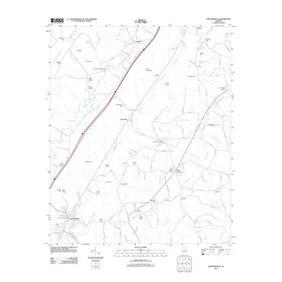 2011 Portersville2011 Print · USGSDeKalb County and the Collinsville area are documented here at the start of the 2010s. Genealogists can trace family landmarks across the valley, from Portersville to Mount Vernon, including sites like Longshore Cemetery and Warren Stewart Cemetery.
 - 2011 Map of Leesburg, 2011 Print
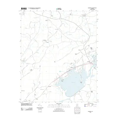 2011 Leesburg2011 Print · USGSDeKalb County’s river valley and surrounding ridges are shown here in the early twenty-first century as the Coosa River landscape adapts to modern recreation. Genealogists and local historians can trace family locations near Leesburg, Sand Rock, and several historic burial grounds like Beulah Cemetery.
 - 2011 Map of Crossville, 2011 Print
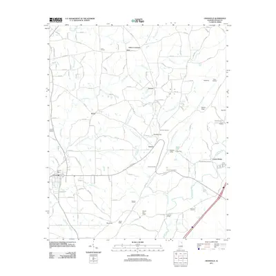 2011 Crossville2011 Print · USGSDeKalb County at the turn of the decade shows a landscape of ridge-and-valley farming and small crossroad communities. Genealogists can trace family roots through several local burial sites like Gilbreath Cemetery and Norris Cemetery or explore landmarks such as Swindell Falls.
 - 2011 Map of Keener, 2011 Print
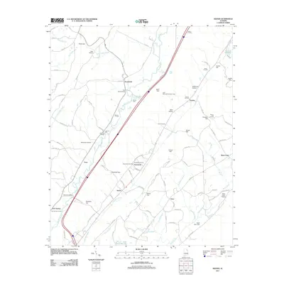 2011 Keener2011 Print · USGSBig Wills Creek and the communities of the Wills Valley are captured in this recent survey. Researchers can trace local heritage through landmarks like the Greenwood Post Office, Chumley Mill, and Pilgrims Rest Cemetery.
 - 2014 Map of Crossville, 2014 Print
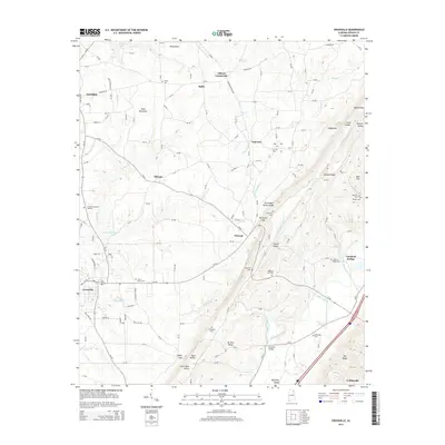 2014 Crossville2014 Print · USGSDeKalb County’s plateau and valley landscape is captured here in the early twenty-first century as rural communities remain centered around family landmarks and small crossroads. Genealogists can trace several burial grounds, including Norris Cem, Freeman Cem, and Wesson Cem.
 - 2014 Map of Portersville, 2014 Print
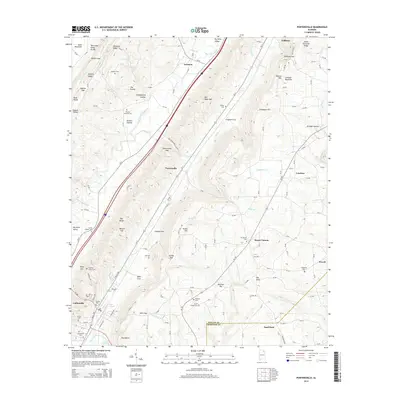 2014 Portersville2014 Print · USGSThe valley floors and ridge lines of DeKalb County are captured here in the early twenty-first century, showing the enduring rural layout of this mountain region. Researchers can trace family history through several named burial sites, including Killian Cem, Hall Cem, and Warren Stewart Cem.
 - 2014 Map of Keener, 2014 Print
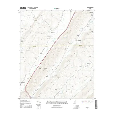 2014 Keener2014 Print · USGSNortheastern Alabama's ridge-and-valley landscape is documented here in the early twenty-first century, showcasing the rural communities of Collinsville and Keener. Genealogists and researchers can trace local family landmarks and burial sites including Harbour Cem, Greenwood Cem, and Flat Church Bridge.
 - 2014 Map of Leesburg, 2014 Print
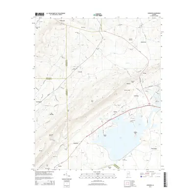 2014 Leesburg2014 Print · USGSNortheast Alabama's lakefront and ridge country are shown here in the years following the expansion of modern lakefront developments. Genealogists can trace family connections through numerous local burial sites like Sand Rock Cem and Shepard Cem or locate homes in Leesburg and Collinsville.
Showing maps 1-25 of 39
Top cities near Collinsville
- Gadsden historical maps
- Fort Payne historical maps
- Rainsville historical maps
- Centre historical maps
- Whitesboro historical maps
- Cedar Bluff historical maps
See more
Frequently asked questions
- What are the different types of historical maps available for Collinsville?
- What is the oldest map of Collinsville?
- Where can I purchase historical maps of Collinsville for my home or office?
- Where can I download high-res historical maps of Collinsville?
- Are there historical topographic maps available for Collinsville?
- Is there historical aerial imagery available for Collinsville?
- Where are historical maps of Collinsville sourced from?