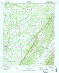
1975 Map of Crossville
USGS Topo · Published 1977About this map
Sand Mountain dominates this portion of Northeast Alabama, creating a high plateau that drops sharply into the Big Wills Valley. The landscape is a patchwork of rural agriculture and small community hubs, centered around the Sand Mountain Agricultural Experiment Station. This era shows Crossville and Geraldine as established towns, while smaller settlements like Skirum, Ophir, and Gilbert Crossroads dot the plateau. Local history is deeply rooted in the numerous country churches and burial grounds, such as Pilgrim Rest Ch and Red Hill Cem (Weston Cem).
Find a feature on this map
55 named features on this map. Tap any name to fly to it.
Don’t see what you’re looking for? This feature index may not catch every label — zoom into the map to look around manually.
Map Details
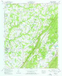
Editions of this 1975 Crossville Map
2 editions found
Other maps of this area

1885 · Gadsden
USGS Topo · 1:125,000

1888 · Gadsden
USGS Topo · 1:125,000

1892 · Gadsden
USGS Topo · 1:125,000

1893 · Fort Payne
USGS Topo · 1:125,000

1895 · Gadsden
USGS Topo · 1:125,000

1898 · Fort Payne
USGS Topo · 1:125,000

1900 · Fort Payne
USGS Topo · 1:125,000

1903 · Gadsden
USGS Topo · 1:125,000

1936 · Painter
USGS Topo · 1:24,000

1936 · Crossville
USGS Topo · 1:24,000