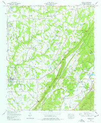
1975 Map of Crossville
USGS Topo · Published 1977About this map
The agricultural plateau of Sand Mountain dominates this portion of DeKalb County, where the Sand Mountain Agricultural Experiment Station anchors the rural landscape between Crossville and Geraldine. This high upland terrain is deeply etched by watercourses like Searham Creek and Laurel Creek, which fall toward the Tennessee Valley in the east. The map records a dense network of country churches and family-named cemeteries, such as Pilgrim Rest Ch, Union Grove Ch, and the Red Hill Cem (Wesson Cem), reflecting the long-established farming communities of the mid-1970s.
Find a feature on this map
60 named features on this map. Tap any name to fly to it.
Don’t see what you’re looking for? This feature index may not catch every label — zoom into the map to look around manually.
Map Details
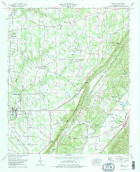
Editions of this 1975 Crossville Map
2 editions found
Other maps of this area

1885 · Gadsden
USGS Topo · 1:125,000

1888 · Gadsden
USGS Topo · 1:125,000

1892 · Gadsden
USGS Topo · 1:125,000

1893 · Fort Payne
USGS Topo · 1:125,000

1895 · Gadsden
USGS Topo · 1:125,000

1898 · Fort Payne
USGS Topo · 1:125,000

1900 · Fort Payne
USGS Topo · 1:125,000

1903 · Gadsden
USGS Topo · 1:125,000

1936 · Painter
USGS Topo · 1:24,000

1936 · Crossville
USGS Topo · 1:24,000