Old Maps of Nokomis, Alabama for Academic Research
Study the evolution of Nokomis with 12 high-resolution historic maps. Whether you're teaching, researching, or modeling changes in land use, these maps provide essential visual documentation of urban, environmental, and geographic change.
- Analyze long-term change: Track patterns in development, transportation, and natural features.
- Ideal for environmental or urban studies: Support academic projects with primary historical map data.
- Use in the classroom or lab: Educators and researchers rely on these maps to bring historical context to life.
These maps are a powerful tool for teaching, research, and visualizing how Nokomis has changed over the decades.
Nokomis, AL maps
(12)- 1942 Map of Perdido, 1965 Print
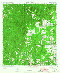 1942 Perdido1965 Print · USGSCoastal Alabama and its inland timberlands are captured here in the early 1940s, showing a transition from remote logging camps to growing railroad towns. Genealogists can locate family landmarks like Steadham Cem, the Langham Lottie Sch, and settlements at Lottie and Nokomis.
 - 1944 Map of Perdido
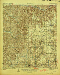 1944 Perdido1944 Print · USGSCoastal plain settlements and timber country in South Alabama come alive on this mid-forties survey. Trace family history at Lindsey Cem and St Johns Ch, or locate vanished rail stops along the Logging RR and St Louis - San Francisco RR.2 unique versions available
 - 1953 Map of Andalusia, 1965 Print
 1953 Andalusia1965 Print · USGSSouth Alabama in the mid-twentieth century remains a land of pine forests and river-fed settlements. You can trace the vital rail corridors of the Louisville & Nashville and locate regional centers such as Andalusia, Brewton, and Monroeville.3 unique versions available
 - 1957 Map of Andalusia
 1957 Andalusia1957 Print · USGSSouthern Alabama in the mid-1950s was a landscape defined by timbered stretches and the rhythmic flow of the Alabama River. Researchers can trace the legacy of the rail era through the Central of Georgia tracks and the storied river bluffs at Choctaw Bluff.
 - 1983 Map of Freemanville
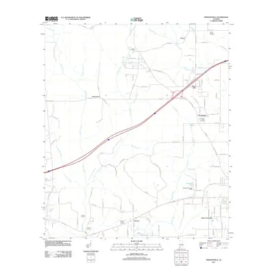
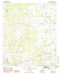 1983 Freemanville1983 Print · USGSEscambia County's borderlands are detailed in this early 1980s survey, showing the rural communities of Poarch and Freemanville at a crossroads of rail and river. Genealogists can locate Mothershed Cem or trace family roots near St Annas Ch and Nokomis.
 - 1986 Map of Atmore
 1986 Atmore1986 Print · USGSSouth Alabama’s river country and timberlands are captured here in the mid-eighties, showing the deep-water bends of the Alabama River and the expanding road networks. Genealogists and historians can trace family locations through small-town post offices and rural churches like Chrysler Ch and the settlement of Barlow Bend.2 unique versions available
 - 2002 Map of Perdido
 2002 Perdido2002 Print · USGSCoastal Alabama at the turn of the millennium reveals a rural landscape of timberlands and small family settlements. Researchers can trace ancestral roots through several documented burial sites like Mothershed Cemetery and Steadham Cemetery or locate old community hubs like Poarch and Lottie.
 - 2011 Map of Freemanville, 2011 Print
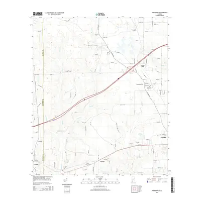
 2011 Freemanville2011 Print · USGSCovers Nokomis, including Atmore, Ewing Farms, and other nearby areas
 - 2014 Map of Freemanville, 2014 Print
 2014 Freemanville2014 Print · USGSCovers Nokomis, including Atmore, Ewing Farms, and other nearby areas
 - 2018 Map of Freemanville, 2018 Print
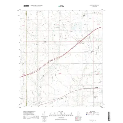 2018 Freemanville2018 Print · USGSCovers Nokomis, including Atmore, Ewing Farms, and other nearby areas
 - 2020 Map of Freemanville, 2020 Print
 2020 Freemanville2020 Print · USGSCovers Nokomis, including Atmore, Ewing Farms, and other nearby areas
 - 2024 Map of Freemanville, 2024 Print
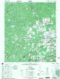
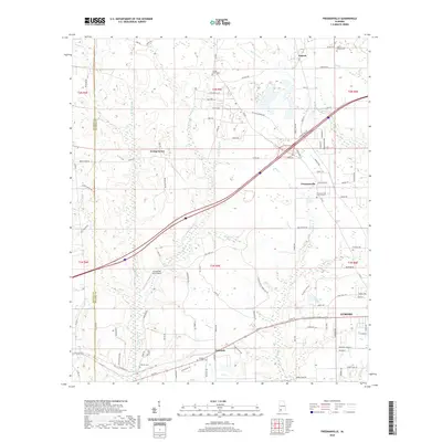
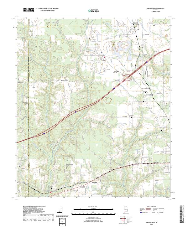 2024 Freemanville2024 Print · USGSSouthern Alabama's rural corridor between Atmore and the Perdido River comes into focus in this contemporary study of Escambia County. Genealogists can trace deep local roots through indigenous and family burial sites like Judson Indian Cem and the Pierce Rabb Cem.
End of results
Showing maps 1-12 of 12
Top cities near Nokomis
- Spanish Fort historical maps
- Atmore historical maps
- Bay Minette historical maps
- Perdido historical maps
- Huxford historical maps
Frequently asked questions
- What are the different types of historical maps available for Nokomis?
- What is the oldest map of Nokomis?
- Where can I purchase historical maps of Nokomis for my home or office?
- Where can I download high-res historical maps of Nokomis?
- Are there historical topographic maps available for Nokomis?
- Is there historical aerial imagery available for Nokomis?
- Where are historical maps of Nokomis sourced from?