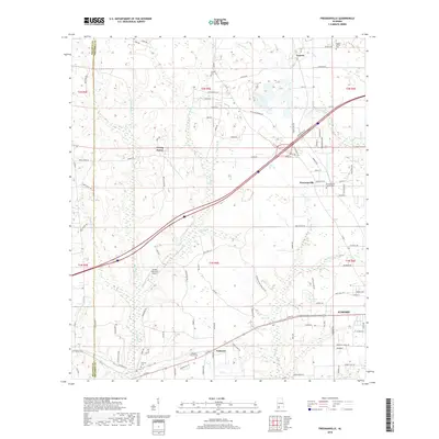
2018 Map of Freemanville
USGS Topo · Published 2018About this map
The Perdido River and its various tributaries like Sizemore Cr and Hurricane Cr define the landscape north of Atmore, where the Alabama countryside meets the Baldwin Co Escambia Co line. This region is a collection of small rural settlements and agriculture, characterized by local hubs like Poarch, Freemanville, and Nokomis. Researchers will find a high concentration of spiritual and family history sites, including the Poarch Mission Cem and Freemanville Church Cem. The layout of the land is heavily influenced by a network of local roads such as Poarch Rd and Jack Rd, which connect these dispersed communities. Aviation history is represented by the Sturdy Oak Farm Airport, while the hydrology of the area, including Patterson Lake, illustrates the natural drainage patterns into the Perdido basin.
Find a feature on this map
110 named features on this map. Tap any name to fly to it.
Don’t see what you’re looking for? This feature index may not catch every label — zoom into the map to look around manually.
Map Details
Editions of this 2018 Freemanville Map
This is the sole edition of this map. No revisions or reprints were ever made.
Other maps of this area

1941 · Century
USGS Topo · 1:62,500

1942 · Perdido
USGS Topo · 1:62,500

1942 · Dyas
USGS Topo · 1:62,500

1943 · Century
USGS Topo · 1:62,500

1944 · Dyas
USGS Topo · 1:62,500

1944 · Perdido
USGS Topo · 1:62,500

1953 · Andalusia
USGS Topo · 1:250,000

1957 · Andalusia
USGS Topo · 1:250,000

1957 · Pensacola
USGS Topo · 1:250,000

1959 · Pensacola
USGS Topo · 1:250,000