2000s (21st Century) Maps of Etowah County, Alabama
Explore 106 historic maps of Etowah County from the 2000s (21st Century). These maps offer a rare glimpse into what life looked like during the 2000s — showing old roads, neighborhoods, homes, and landmarks that have changed or disappeared over time.
Whether you're researching your family's past, planning a metal detecting trip, or studying how Etowah County's landscape evolved across the 2000s, these high-resolution maps are a powerful tool for exploring the history of this region.
- Focus on a specific era: All maps on this page are from the 2000s, giving you a focused view of this time period.
- See what’s changed: Compare century-old streets, trails, and buildings to today's modern landscape using overlays and satellite layers.
- Research with precision: Use these maps for genealogy, historical research, land use analysis, or educational projects.
- View, download, or print: Maps are fully viewable online in high resolution, and can be downloaded or printed for your own records.
Start exploring Etowah County's history through authentic maps from the 2000s. This is your window into the past.
Etowah County, AL maps
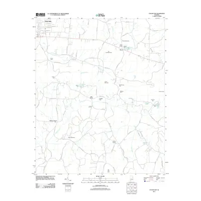
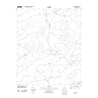
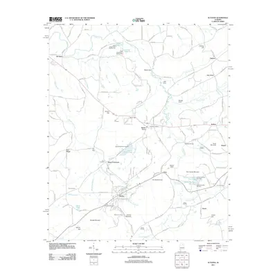
(106)- 2001 Map of Piedmont NW, 2004 Print
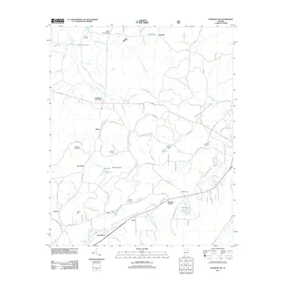
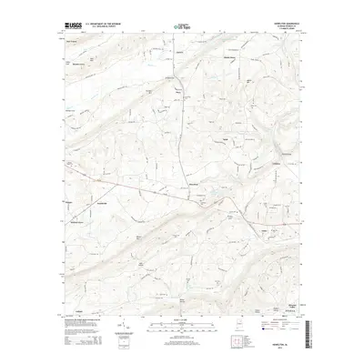
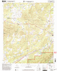 2001 Piedmont NW2004 Print · USGSCalhoun County's rural crossroads and ridge-side communities are captured here at the turn of the millennium. Genealogists and local historians can trace family-named sites like Estes Crossroads, Knightens Chapel, and the settlement of Maxwellborn.
 - 2011 Map of Gadsden West, 2011 Print
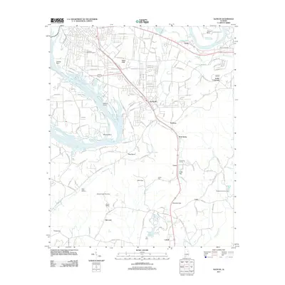
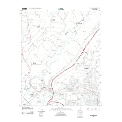 2011 Gadsden West2011 Print · USGSCovers Etowah County, including Gadsden, Attalla, and other nearby areas
 - 2011 Map of Dunaway Mountain, 2011 Print
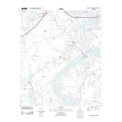 2011 Dunaway Mountain2011 Print · USGSCovers Etowah County, including Gadsden, Rainbow City, and other nearby areas
 - 2011 Map of Steele, 2011 Print
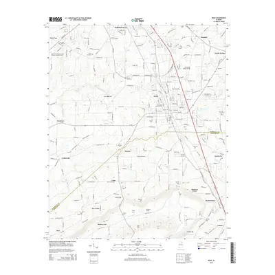
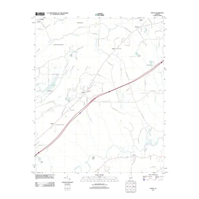 2011 Steele2011 Print · USGSCovers Etowah County, including Rainbow City, Attalla, and other nearby areas
 - 2011 Map of Colvin Gap, 2011 Print
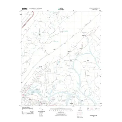
 2011 Colvin Gap2011 Print · USGSCovers Etowah County, including Hokes Bluff, New Liberty, and other nearby areas
 - 2011 Map of Piedmont NW, 2011 Print
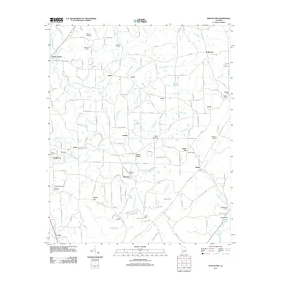
 2011 Piedmont NW2011 Print · USGSCovers Etowah County, including Piedmont, Knightens Crossroads, and other nearby areas
 - 2011 Map of Glencoe, 2011 Print
 2011 Glencoe2011 Print · USGSCovers Etowah County, including Gadsden, Southside, and other nearby areas
 - 2011 Map of Gadsden East, 2011 Print
 2011 Gadsden East2011 Print · USGSCovers Etowah County, including Gadsden, Glencoe, and other nearby areas
 - 2011 Map of Howelton, 2011 Print
 2011 Howelton2011 Print · USGSCovers Etowah County, including Attalla, New Union, and other nearby areas
 - 2011 Map of Rodentown, 2011 Print
 2011 Rodentown2011 Print · USGSCovers Etowah County, including Boaz, Whitesboro, and other nearby areas
 - 2011 Map of Boaz, 2011 Print
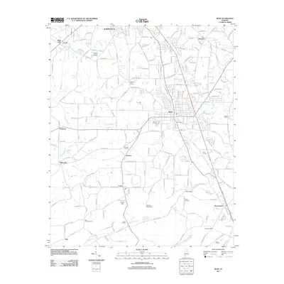 2011 Boaz2011 Print · USGSCovers Etowah County, including Albertville, Boaz, and other nearby areas
 - 2011 Map of Douglas, 2011 Print
 2011 Douglas2011 Print · USGSCovers Etowah County, including Albertville, New Union, and other nearby areas
 - 2011 Map of Altoona, 2011 Print
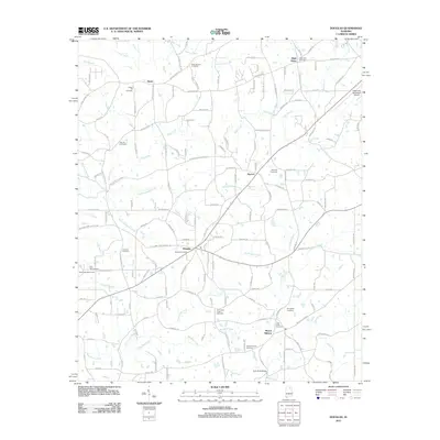
 2011 Altoona2011 Print · USGSCovers Etowah County, including Snead, New Union, and other nearby areas
 - 2011 Map of Leesburg, 2011 Print
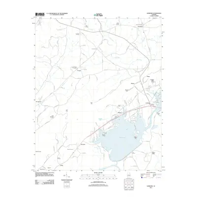 2011 Leesburg2011 Print · USGSCovers Etowah County, including Collinsville, Leesburg, and other nearby areas
 - 2011 Map of Weisner Mountain, 2011 Print
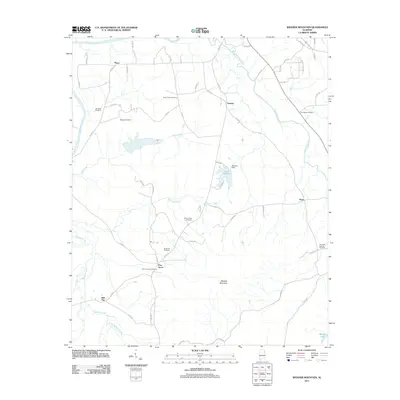 2011 Weisner Mountain2011 Print · USGSCovers Etowah County, including Centre, Ball Flat, and other nearby areas
 - 2011 Map of Keener, 2011 Print
 2011 Keener2011 Print · USGSCovers Etowah County, including Collinsville, Hendrixville, and other nearby areas
 - 2011 Map of Ballplay, 2011 Print
 2011 Ballplay2011 Print · USGSCovers Etowah County, including Hokes Bluff, Ballplay, and other nearby areas
 - 2011 Map of Hyatt Gap, 2011 Print
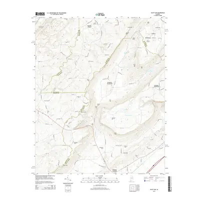
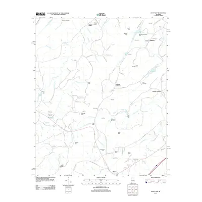 2011 Hyatt Gap2011 Print · USGSCovers Etowah County, including Ashville, Chandler Mountain, and other nearby areas
 - 2011 Map of Wellington, 2011 Print
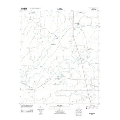 2011 Wellington2011 Print · USGSCovers Etowah County, including Southside, Ohatchee, and other nearby areas
 - 2012 Map of Ohatchee, 2012 Print
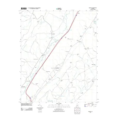
 2012 Ohatchee2012 Print · USGSCovers Etowah County, including Rainbow City, Southside, and other nearby areas
 - 2014 Map of Douglas, 2014 Print
 2014 Douglas2014 Print · USGSCovers Etowah County, including Albertville, New Union, and other nearby areas
 - 2014 Map of Howelton, 2014 Print
 2014 Howelton2014 Print · USGSCovers Etowah County, including Attalla, New Union, and other nearby areas
 - 2014 Map of Boaz, 2014 Print
 2014 Boaz2014 Print · USGSCovers Etowah County, including Albertville, Boaz, and other nearby areas
 - 2014 Map of Steele, 2014 Print
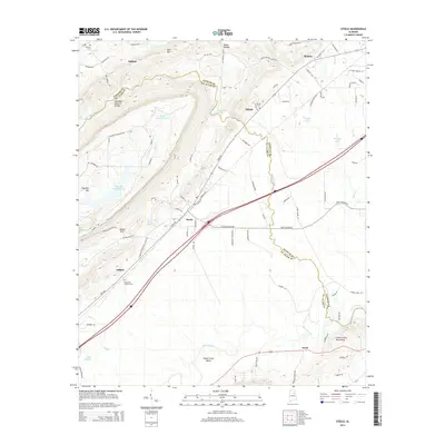 2014 Steele2014 Print · USGSCovers Etowah County, including Rainbow City, Attalla, and other nearby areas
 - 2014 Map of Hyatt Gap, 2014 Print
 2014 Hyatt Gap2014 Print · USGSCovers Etowah County, including Ashville, Chandler Mountain, and other nearby areas
Showing maps 1-25 of 106
Top cities of Etowah County
- Gadsden historical maps
- Rainbow City historical maps
- Southside historical maps
- Attalla historical maps
- Glencoe historical maps
- Hokes Bluff historical maps
See more
Frequently asked questions
- What are the different types of historical maps available for Etowah County?
- What is the oldest map of Etowah County?
- Where can I purchase historical maps of Etowah County for my home or office?
- Where can I download high-res historical maps of Etowah County?
- Are there historical topographic maps available for Etowah County?
- Is there historical aerial imagery available for Etowah County?
- Where are historical maps of Etowah County sourced from?