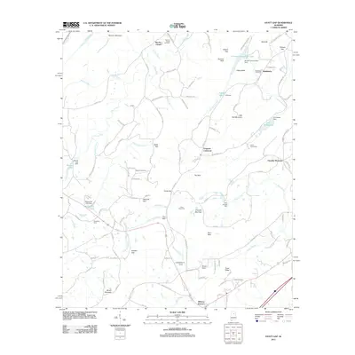
2011 Map of Hyatt Gap
USGS Topo · Published 2011About this map
Chandler Mountain and Blount Mountain dominate this landscape, creating a series of dramatic gaps and coves that shaped the area's movement and settlement patterns. The topography is defined by significant features like The Sink and The Gulf, while numerous water bodies, including Etowah Conservation Lake and Lake Sumatanga, mark the lower elevations. Local history is deeply embedded in the rural landscape, preserved through sites like Moodys Chapel and several family-named burial grounds such as Maudlin Cemetery and Choate Cemetery.
Find a feature on this map
120 named features on this map. Tap any name to fly to it.
Don’t see what you’re looking for? This feature index may not catch every label — zoom into the map to look around manually.
Map Details
Editions of this 2011 Hyatt Gap Map
This is the sole edition of this map. No revisions or reprints were ever made.
Other maps of this area

1885 · Gadsden
USGS Topo · 1:125,000

1888 · Gadsden
USGS Topo · 1:125,000

1889 · Springville
USGS Topo · 1:125,000

1892 · Springville
USGS Topo · 1:125,000

1892 · Gadsden
USGS Topo · 1:125,000

1895 · Gadsden
USGS Topo · 1:125,000

1903 · Gadsden
USGS Topo · 1:125,000

1947 · Cox Gap
USGS Topo · 1:24,000

1947 · Steele
USGS Topo · 1:24,000

1947 · Steele
USGS Topo · 1:62,500