Old Maps of Coats Bend, Alabama for Hiking & Exploration
Hike through history with 20 historic maps of Coats Bend. Explore old trails, ghost towns, and forgotten backroads — perfect for outdoor adventurers and local explorers.
- Rediscover forgotten places: Map out old mining camps, roads, and footpaths that no longer exist on modern maps.
- Layer with modern tools: Combine with LiDAR or satellite views to plan hikes through historical terrain.
- Made for exploration: Popular among hikers, overlanders, and local history lovers.
Use these maps to find adventure and explore the hidden past of Coats Bend.
Coats Bend, AL maps
(20)- 1893 Map of Fort Payne
 1893 Fort Payne1893 Print · USGSNortheast Alabama is shown here in the late nineteenth century as the rail network transformed the valley floor. Genealogists and historians can trace family-named crossroads like Hoge's X Roads and vital river crossings including Coker Ferry and Sewell Ferry.
 - 1898 Map of Fort Payne, 1964 Print
 1898 Fort Payne1964 Print · USGSDeKalb and Cherokee counties in the late 1890s are defined by the steep ridges of Lookout Mountain and a bustling network of river ferries. Genealogists can trace family roots through numerous river crossings like Hardwick Ferry and early industrial sites such as Sloan Mill or Abernathy Mill.
 - 1900 Map of Fort Payne
 1900 Fort Payne1900 Print · USGSNortheast Alabama is defined by its deep ridges and river valleys in the late nineteenth century. Researchers can trace the era's ferry network across the Coosa River and find old family-run landmarks like Wagners Store and Santy Mills.6 unique versions available
 - 1955 Map of Rome
 1955 Rome1955 Print · USGSThe tri-state borderlands of Georgia, Alabama, and Tennessee appear in the mid-fifties as a landscape of ridge-and-valley industry and river navigation. Genealogists can trace family footprints near Chattanooga, the iron works of Gadsden, and textile towns like Trion or Summerville.
 - 1958 Map of Rome, 1966 Print
 1958 Rome1966 Print · USGSNorthwest Georgia and neighboring Tennessee and Alabama are captured here in the late fifties, showcasing a landscape of high ridges and river valleys. Researchers can trace historic rail lines like the Seaboard Air Line RR and explore the bounds of Cloudland Canyon State Park or Fort Oglethorpe.3 unique versions available
 - 1961 Map of Rome
 1961 Rome1961 Print · USGSNorthwest Georgia and neighboring Tennessee and Alabama are shown here at a moment of significant mid-century growth. Researchers can trace the rail networks of the Central of Georgia or locate landmarks within Chickamauga and Chattanooga Nat Military Park.
 - 1963 Map of Rome
 1963 Rome1963 Print · USGSThe tri-state corner of Georgia, Alabama, and Tennessee is captured here during a period of massive reservoir expansion and post-war growth. Genealogists and historians can trace the rail corridors of the Southern Ry or locate landmarks like Fort Oglethorpe and Cloudland Canyon State Park.
 - 1967 Map of Gadsden East, 1970 Print
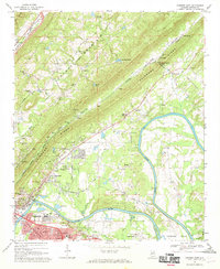 1967 Gadsden East1970 Print · USGSGadsden and the Coosa River are captured here in the late sixties as the region balanced its industrial growth with its rural roots. Trace family history through local landmarks like Tillison Cem, Whites Chapel, and the river crossing at Fitts Ferry.2 unique versions available
 - 1967 Map of Ballplay, 1970 Print
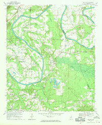 1967 Ballplay1970 Print · USGSThe Coosa River valley in Northeast Alabama shows its traditional river-crossing network and rural hamlets in the mid-1960s. Genealogists and local historians can trace family locations near several river crossings like Wagnon Ferry and Baskin Ferry, or old church sites like Macedonia Ch.3 unique versions available
 - 1981 Map of Rome, 1982 Print
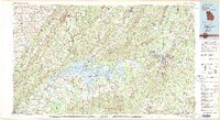 1981 Rome1982 Print · USGSNorthwest Georgia and the Alabama borderlands come into focus in the early eighties, defined by the winding Coosa River and the high ridges of Lookout Mountain. Researchers can trace the rail-and-river economy through Rome, Gadsden, and Cedartown, alongside natural landmarks like Yellow Creek Falls.2 unique versions available
 - 2011 Map of Gadsden East, 2011 Print
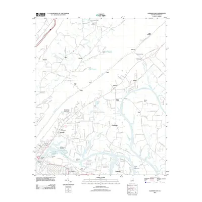 2011 Gadsden East2011 Print · USGSGadsden and the Coosa River valley are captured here in the early twenty-first century as industrial and residential footprints merge. Researchers can trace family roots at Tillison Cemetery, explore the riverside geography of Tillisons Bend, or locate historic crossing points like Caddels Ford.
 - 2011 Map of Ballplay, 2011 Print
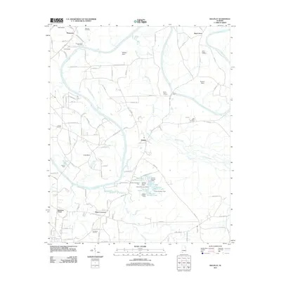 2011 Ballplay2011 Print · USGSThe Coosa River valley in northeastern Alabama is shown here during the early twenty-first century as a landscape of rural bends and historic crossroads. Genealogists and local historians can locate several family and community landmarks, including Bachelors Chapel, Croft Cemetery, and the series of Thornton Number 1 Lakes.
 - 2014 Map of Ballplay, 2014 Print
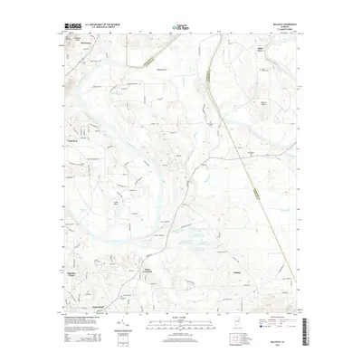 2014 Ballplay2014 Print · USGSNortheast Alabama's riverine landscape comes into focus here during the early twenty-first century as the Coosa River winds through Etowah and Cherokee counties. Researchers can trace the rural communities of Mayes Crossroad and Ballplay alongside historic sites like Bachelors Chapel and Mt Tabor Cem.
 - 2014 Map of Gadsden East, 2014 Print
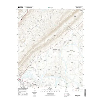 2014 Gadsden East2014 Print · USGSThe Coosa River corridor in Etowah County is shown in detail during the early twenty-first century as it flows past Gadsden and Hokes Bluff. Researchers can trace local heritage through sites like Tillison Cem, Whites Chapel, and the riverside landmarks of Tillisons Bend.
 - 2018 Map of Ballplay, 2018 Print
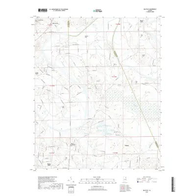 2018 Ballplay2018 Print · USGSThe river bends of Etowah and Cherokee counties are captured here in the modern era, showing the rural landscape around Hokes Bluff. Researchers can locate several family and community landmarks, from Smith Chapel Cem and Lebanon Ch to the waters of Thorval Lake.
 - 2018 Map of Gadsden East, 2018 Print
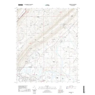 2018 Gadsden East2018 Print · USGSThe industrial edges of Gadsden and the winding Coosa River valley are captured here in the late 2010s. Researchers can locate family landmarks such as Tillison Cem, the community of Turkeytown, and the various bends like Tidmore Bend.
 - 2020 Map of Gadsden East, 2020 Print
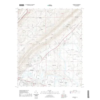 2020 Gadsden East2020 Print · USGSGadsden and the Coosa River valley are documented here in 2020, showing a landscape defined by industrial centers and the ridgelines of Lookout Mountain. Researchers can trace local history from the Goodyear plant site to Beth Israel Cem and the river bends of Tidmore Bend.
 - 2020 Map of Ballplay, 2020 Print
 2020 Ballplay2020 Print · USGSIn the Coosa River valley at the dawn of the 2020s, this area reflects a landscape of river bends and rural crossroads. Researchers can trace ancestral locations near Mayes Crossroad, Hokes Bluff, and several family burial sites like Smith Chapel Cem.
 - 2024 Map of Ballplay, 2024 Print
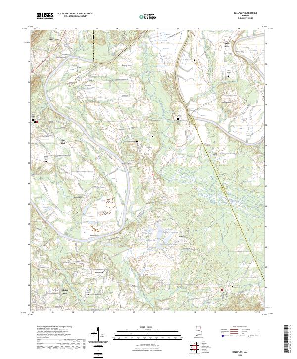 2024 Ballplay2024 Print · USGSThe Coosa River's winding course defines this Alabama landscape at the start of the 2020s. Researchers can locate numerous family burial grounds like Smith Chapel Cem and historic river crossings such as Baskin Ferry or Wood Ferry.
 - 2024 Map of Gadsden East, 2024 Print
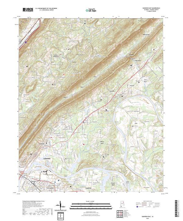 2024 Gadsden East2024 Print · USGSThe Coosa River valley and the heights of Lookout Mountain are mapped here as they appear today, showing the industrial core of GADSDEN and GLENCOE. Researchers can trace generations of residents through numerous burial sites like Flatwoods Cem and Turkeytown Cem or locate the site of Wisdom Ferry.
End of results
Showing maps 1-20 of 20
Top cities near Coats Bend
- Gadsden historical maps
- Rainbow City historical maps
- Southside historical maps
- Attalla historical maps
- Glencoe historical maps
- Piedmont historical maps
See more
Top neighborhoods of Coats Bend
Frequently asked questions
- What are the different types of historical maps available for Coats Bend?
- What is the oldest map of Coats Bend?
- Where can I purchase historical maps of Coats Bend for my home or office?
- Where can I download high-res historical maps of Coats Bend?
- Are there historical topographic maps available for Coats Bend?
- Is there historical aerial imagery available for Coats Bend?
- Where are historical maps of Coats Bend sourced from?