2000s (21st Century) Maps of Jefferson County, Alabama
Explore 160 historic maps of Jefferson County from the 2000s (21st Century). These maps offer a rare glimpse into what life looked like during the 2000s — showing old roads, neighborhoods, homes, and landmarks that have changed or disappeared over time.
Whether you're researching your family's past, planning a metal detecting trip, or studying how Jefferson County's landscape evolved across the 2000s, these high-resolution maps are a powerful tool for exploring the history of this region.
- Focus on a specific era: All maps on this page are from the 2000s, giving you a focused view of this time period.
- See what’s changed: Compare century-old streets, trails, and buildings to today's modern landscape using overlays and satellite layers.
- Research with precision: Use these maps for genealogy, historical research, land use analysis, or educational projects.
- View, download, or print: Maps are fully viewable online in high resolution, and can be downloaded or printed for your own records.
Start exploring Jefferson County's history through authentic maps from the 2000s. This is your window into the past.
Jefferson County, AL maps
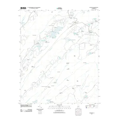
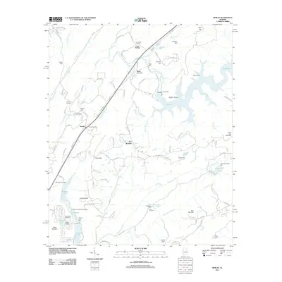
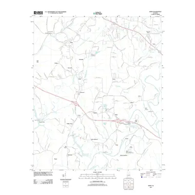
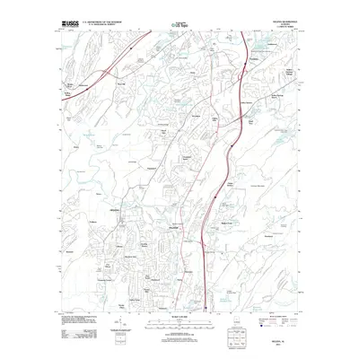
(160)- 2011 Map of Concord, 2011 Print
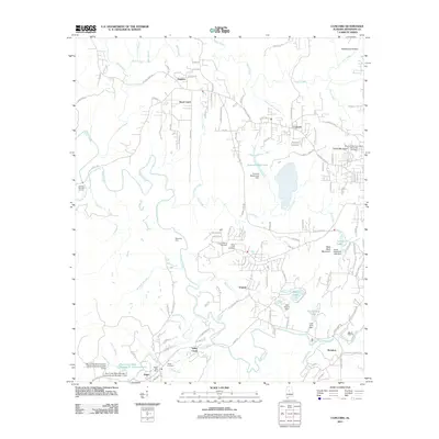 2011 Concord2011 Print · USGSCovers Jefferson County, including Birmingham, Bessemer, and other nearby areas
 - 2011 Map of Gilmore, 2011 Print
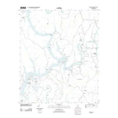 2011 Gilmore2011 Print · USGSCovers Jefferson County, including Driftwood, Alliance, and other nearby areas
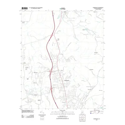
 - 2011 Map of Irondale, 2011 Print
 2011 Irondale2011 Print · USGSCovers Jefferson County, including Birmingham, Vestavia Hills, and other nearby areas
 - 2011 Map of Gardendale, 2011 Print
 2011 Gardendale2011 Print · USGSCovers Jefferson County, including Birmingham, Gardendale, and other nearby areas
 - 2011 Map of Vandiver, 2011 Print
 2011 Vandiver2011 Print · USGSCovers Jefferson County, including Birmingham, Hoover, and other nearby areas
 - 2011 Map of Pea Ridge, 2011 Print
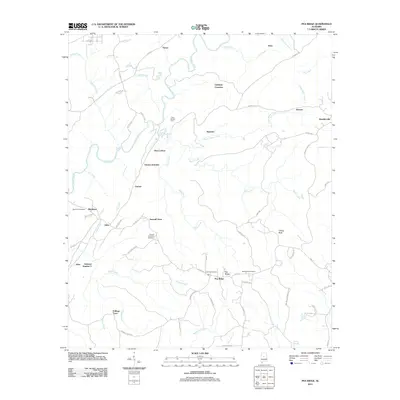 2011 Pea Ridge2011 Print · USGSCovers Jefferson County, including Alabaster, Helena, and other nearby areas
 - 2011 Map of Cahaba Heights, 2011 Print
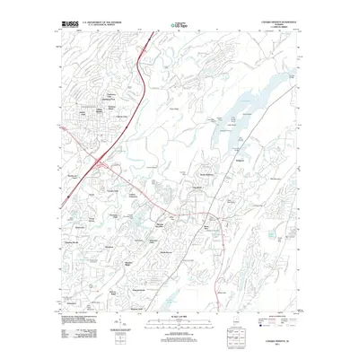 2011 Cahaba Heights2011 Print · USGSCovers Jefferson County, including Birmingham, Hoover, and other nearby areas
 - 2011 Map of Adamsville, 2011 Print
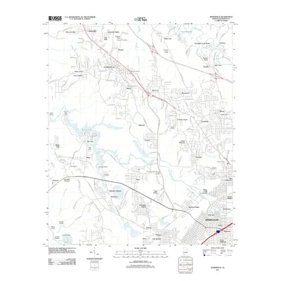 2011 Adamsville2011 Print · USGSCovers Jefferson County, including Birmingham, Forestdale, and other nearby areas
 - 2011 Map of Remlap, 2011 Print
 2011 Remlap2011 Print · USGSCovers Jefferson County, including Clay, Pinson, and other nearby areas
 - 2011 Map of Pinson, 2011 Print
 2011 Pinson2011 Print · USGSCovers Jefferson County, including Birmingham, Trussville, and other nearby areas
 - 2011 Map of Brookside, 2011 Print
 2011 Brookside2011 Print · USGSCovers Jefferson County, including Adamsville, Graysville, and other nearby areas
 - 2011 Map of Argo, 2011 Print
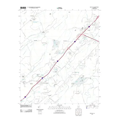
 2011 Argo2011 Print · USGSCovers Jefferson County, including Trussville, Moody, and other nearby areas
 - 2011 Map of Abernant, 2011 Print
 2011 Abernant2011 Print · USGSCovers Jefferson County, including Abernant, Lake View, and other nearby areas
 - 2011 Map of Halfmile Shoals, 2011 Print
 2011 Halfmile Shoals2011 Print · USGSCovers Jefferson County, including Woodstock, West Blocton, and other nearby areas
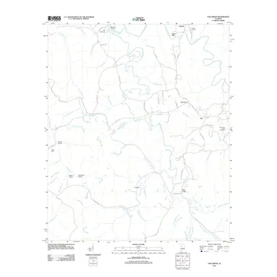
 - 2011 Map of Creel, 2011 Print
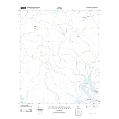
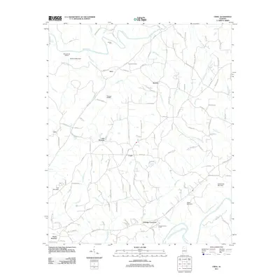 2011 Creel2011 Print · USGSCovers Jefferson County, including Hayden, York Mountain, and other nearby areas
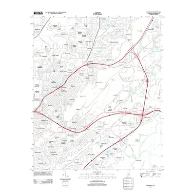
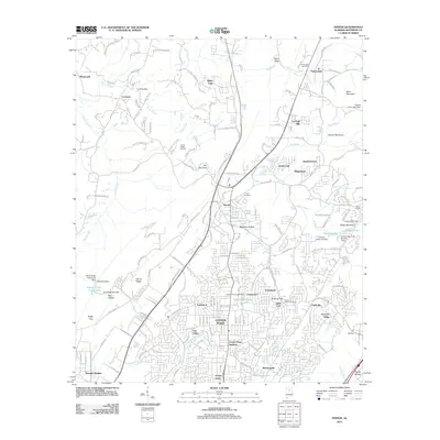
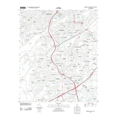
 - 2011 Map of Birmingham North, 2011 Print
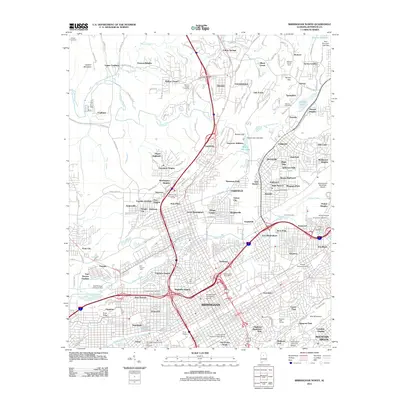 2011 Birmingham North2011 Print · USGSCovers Jefferson County, including Birmingham, Mountain Brook, and other nearby areas
 - 2011 Map of Tutwiler School, 2011 Print
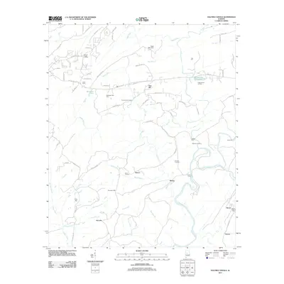
 2011 Tutwiler School2011 Print · USGSCovers Jefferson County, including Browntown, Three Forks, and other nearby areas
 - 2011 Map of Birmingham South, 2011 Print
 2011 Birmingham South2011 Print · USGSCovers Jefferson County, including Birmingham, Hoover, and other nearby areas
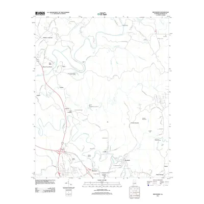
 - 2011 Map of Dora, 2011 Print
 2011 Dora2011 Print · USGSCovers Jefferson County, including Birmingham, Adamsville, and other nearby areas
 - 2011 Map of McCalla, 2011 Print
 2011 McCalla2011 Print · USGSCovers Jefferson County, including Bessemer, McCalla, and other nearby areas
 - 2011 Map of Goodsprings, 2011 Print
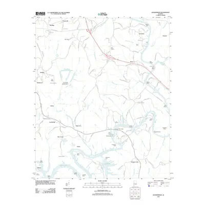 2011 Goodsprings2011 Print · USGSCovers Jefferson County, including Cordova, High Level, and other nearby areas
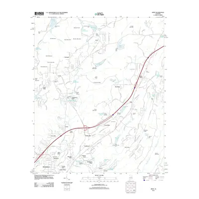
 - 2011 Map of Helena, 2011 Print
 2011 Helena2011 Print · USGSCovers Jefferson County, including Hoover, Alabaster, and other nearby areas
 - 2011 Map of Sylvan Springs, 2011 Print
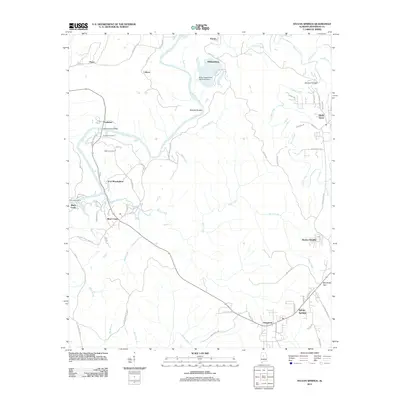 2011 Sylvan Springs2011 Print · USGSCovers Jefferson County, including Birmingham, Pleasant Grove, and other nearby areas
 - 2011 Map of Oak Grove, 2011 Print
 2011 Oak Grove2011 Print · USGSCovers Jefferson County, including Vines Mill, Oak Grove, and other nearby areas
 - 2011 Map of Sipsey, 2011 Print
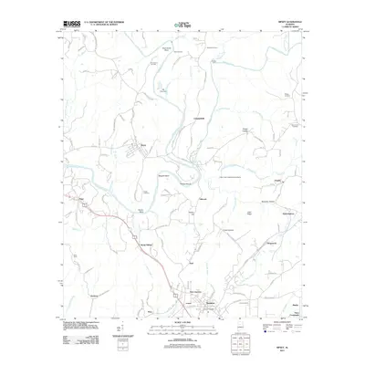 2011 Sipsey2011 Print · USGSCovers Jefferson County, including Sumiton, Dora, and other nearby areas
Showing maps 1-25 of 160
Top cities of Jefferson County
- Birmingham historical maps
- Hoover historical maps
- Vestavia Hills historical maps
- Homewood historical maps
- Trussville historical maps
- Bessemer historical maps
See more
Frequently asked questions
- What are the different types of historical maps available for Jefferson County?
- What is the oldest map of Jefferson County?
- Where can I purchase historical maps of Jefferson County for my home or office?
- Where can I download high-res historical maps of Jefferson County?
- Are there historical topographic maps available for Jefferson County?
- Is there historical aerial imagery available for Jefferson County?
- Where are historical maps of Jefferson County sourced from?