2010s Maps of Jefferson County, Alabama
Explore 93 historic maps of Jefferson County from the 2010s. These maps offer a rare glimpse into what life looked like during the 2010s — showing old roads, neighborhoods, homes, and landmarks that have changed or disappeared over time.
Whether you're researching your family's past, planning a metal detecting trip, or studying how Jefferson County's landscape evolved across the 2010s, these high-resolution maps are a powerful tool for exploring the history of this region.
- Focus on a specific era: All maps on this page are from the 2010s, giving you a focused view of this time period.
- See what’s changed: Compare century-old streets, trails, and buildings to today's modern landscape using overlays and satellite layers.
- Research with precision: Use these maps for genealogy, historical research, land use analysis, or educational projects.
- View, download, or print: Maps are fully viewable online in high resolution, and can be downloaded or printed for your own records.
Start exploring Jefferson County's history through authentic maps from the 2010s. This is your window into the past.
Jefferson County, AL maps
(93)- 2011 Map of Concord, 2011 Print
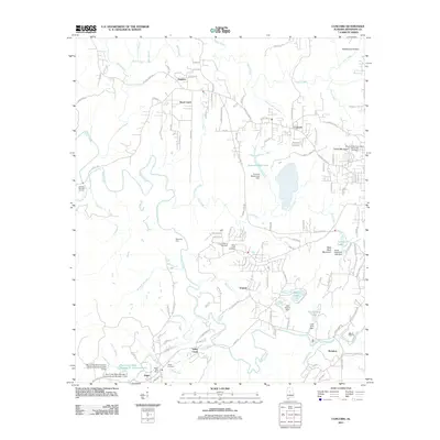 2011 Concord2011 Print · USGSMining and residential life in Jefferson County are recorded here just over a decade ago. Genealogists can locate family sites at the Virginia Mines and Adger Cemetery, or trace industrial landmarks like the Blue Creek Mine Impoundment.
 - 2011 Map of Gilmore, 2011 Print
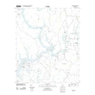 2011 Gilmore2011 Print · USGSThe riverfront communities along the Black Warrior River system come alive in this early twenty-first-century survey. Researchers can trace the legacy of family landings and camps like Heard Shoals, Winters Camp, and the burial sites at Weaver Cemetery.
 - 2011 Map of Irondale, 2011 Print
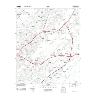 2011 Irondale2011 Print · USGSEastern Birmingham and the city of Irondale appear here in the early twenty-first century, showing a landscape shaped by ridge-and-valley geography. Genealogists can locate several historic burial grounds, including Old Pioneer Cemetery and Bush Cemetery, alongside the Norfolk Southern rail lines.
 - 2011 Map of Gardendale, 2011 Print
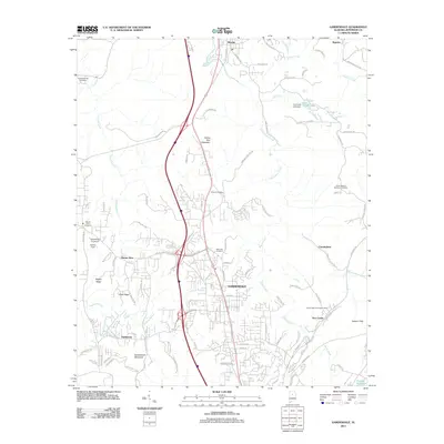 2011 Gardendale2011 Print · USGSJefferson County north of Birmingham comes into focus in this early 21st-century survey, detailing the suburban growth around Gardendale. Researchers can trace local landmarks like the Roto Wing Inc Airport and historic sites such as Moncrief Cemetery or the New Castle Community House.
 - 2011 Map of Vandiver, 2011 Print
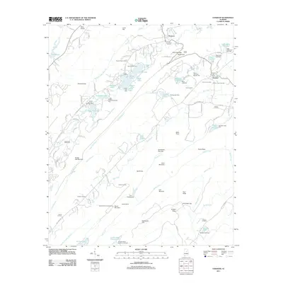 2011 Vandiver2011 Print · USGSShelby County's ridge-and-valley landscape in the early twenty-first century shows a fascinating mix of rural history and growing leisure developments. Genealogists and historians can trace local roots through the Vandiver Negro Cemetery, find the Coosa Tunnel, or locate landmarks like the Signal Mountain Lookout Tower.
 - 2011 Map of Pea Ridge, 2011 Print
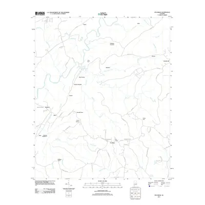 2011 Pea Ridge2011 Print · USGSShelby County's river-cut landscape and mining-era settlements are captured here in the early twenty-first century. Genealogists and historians can trace family locations near Boothton Cemetery or locate old sites like Sawmill Town and Eddings Town.
 - 2011 Map of Cahaba Heights, 2011 Print
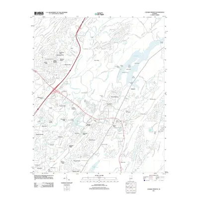 2011 Cahaba Heights2011 Print · USGSThe Cahaba River corridor south of Birmingham shows a landscape of deep ridges and modern expansion in the early twenty-first century. Researchers can trace the heritage of the river at De Shazoo Mill Ford or locate family markers at Bold Springs Cemetery and McDaniel Cemetery.
 - 2011 Map of Adamsville, 2011 Print
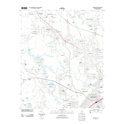 2011 Adamsville2011 Print · USGSThe coal-mining and industrial corridor west of Birmingham is shown here just as modern interstate projects began to reshape the landscape. Local historians can trace family roots at Village Falls Cemetery or locate the site of the Mulga Mine and the rail-side community of Docena.
 - 2011 Map of Remlap, 2011 Print
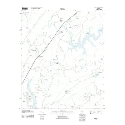 2011 Remlap2011 Print · USGSNortheast Jefferson County is defined here by the rising ridges of Saint Clair Mountain and the deep waters of Inland Lake. Genealogists and local historians can trace family sites near Clear Springs Cemetery or locate the old Remlap Post Office.
 - 2011 Map of Pinson, 2011 Print
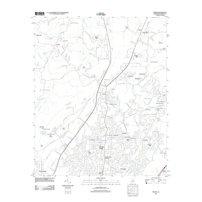 2011 Pinson2011 Print · USGSNortheast of Birmingham in the early 2010s, this area reveals a mix of established residential neighborhoods and industrial sites. Genealogists can locate family landmarks at Pinson Cemetery and Taylors Chapel Cemetery or trace the geography of Sweeney Hollow.
 - 2011 Map of Brookside, 2011 Print
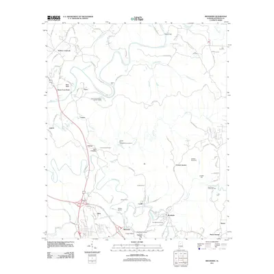 2011 Brookside2011 Print · USGSJefferson County’s mining and creek-side communities are captured here in the early twenty-first century. Researchers can trace family roots through numerous burial sites like Saint Michaels Cemetery and Linns Crossing Cemetery or locate historical settlements such as Pinkney City and Blossburg.
 - 2011 Map of Argo, 2011 Print
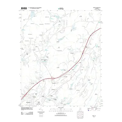 2011 Argo2011 Print · USGSNortheast of Birmingham during the early twenty-first century, this area shows the intersection of ridge-and-valley terrain with suburban expansion. Researchers can trace the layout of Clay and Argo, locating landmarks like Argo Cemetery and the Clay Post Office.
 - 2011 Map of Abernant, 2011 Print
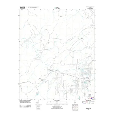 2011 Abernant2011 Print · USGSTuscaloosa County at the start of the twenty-first century reveals a landscape of old mining-era settlements evolving into lakeside communities. Researchers can trace family roots at Liberty Cemetery or explore the geography of Pattersontown and Million Dollar Lake.
 - 2011 Map of Halfmile Shoals, 2011 Print
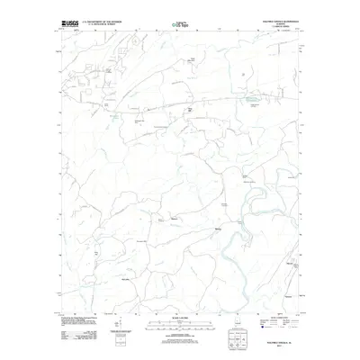 2011 Halfmile Shoals2011 Print · USGSBibb and Shelby County borders meet along the Cahaba River in this early 21st-century survey. Genealogists can locate several family burial sites including Higganbotham Cemetery and trace the old river crossings at Mitchell Ford.
 - 2011 Map of Creel, 2011 Print
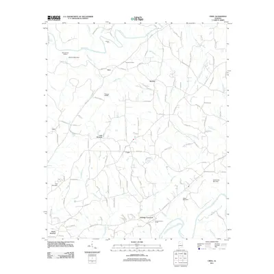 2011 Creel2011 Print · USGSThe forks of the river and mountain ridges defined this Alabama landscape in the early twenty-first century. Researchers can trace the rural road network connecting Sloan, Corner, and Red Hill or locate landmarks like Harmony Cemetery.
 - 2011 Map of Birmingham North, 2011 Print
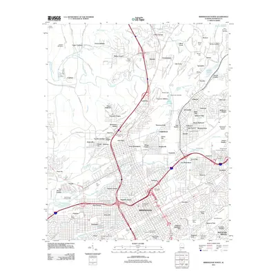 2011 Birmingham North2011 Print · USGSNorthern Birmingham at the start of the 2010s reveals a dense network of industrial history and residential growth. Genealogists can trace family sites near Oak Hill Cemetery, Walker Chapel, and the Arlington Historic House and Gardens.
 - 2011 Map of Tutwiler School, 2011 Print
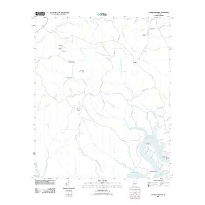 2011 Tutwiler School2011 Print · USGSWalker County's rural uplands and the winding reaches of the Black Warrior River appear here in the early twenty-first century. Genealogists and local historians can trace family locations near Fairview Cemetery, the heights of High Hill Fire Tower, or the riverside landings at Humber Bend.
 - 2011 Map of Birmingham South, 2011 Print
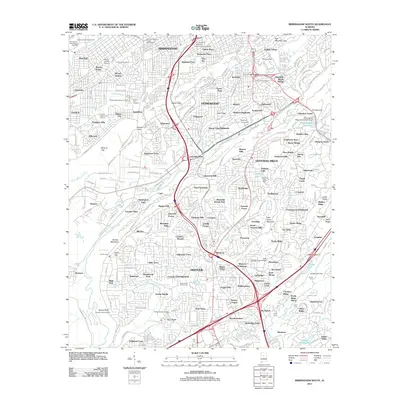 2011 Birmingham South2011 Print · USGSThe southern suburbs of Birmingham are shown in detail as they appeared in 2011, from the historic West End to the residential ridges of Shades Mountain. Researchers can trace local landmarks like Elmwood Cemetery, the Alabama State Fairgrounds, and Samford University.
 - 2011 Map of Dora, 2011 Print
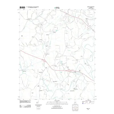 2011 Dora2011 Print · USGSThe mining and river settlements of Jefferson and Walker Counties are captured here during a period of modern industrial transition. Researchers can locate family landmarks like Shanghai Cemetery and historic river crossings such as Long Shoal Ford and Reeds Ferry.
 - 2011 Map of McCalla, 2011 Print
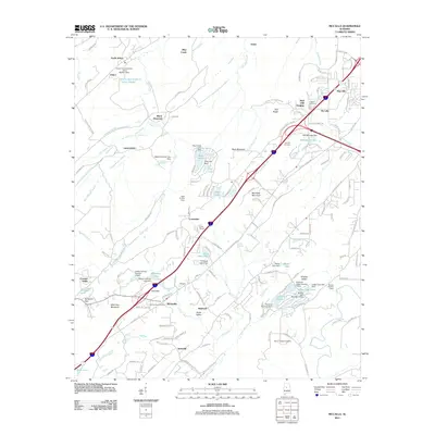 2011 McCalla2011 Print · USGSJefferson County and the ridges of the Alabama Appalachians are seen here in the early twenty-first century. Genealogists and local historians can trace family sites at Bucksville Cemetery, locate the community of McCalla, or explore the grounds near Tannehill.
 - 2011 Map of Goodsprings, 2011 Print
 2011 Goodsprings2011 Print · USGSThe Mulberry Fork river valley is captured here in the early twenty-first century, showcasing a landscape shaped by both coal mining and historic river crossings. Researchers can trace family roots at Goodsprings Cemetery or locate old industrial and rail sites like Gorgas and Barney Siding.
 - 2011 Map of Helena, 2011 Print
 2011 Helena2011 Print · USGSThe Cahaba River valley in the early 21st century shows a landscape transitioning from traditional river crossings to dense suburban growth. Researchers can trace family history at the David Lindsay Cemetery or locate old crossings like Nunnally Ford and Langston Ford.
 - 2011 Map of Sylvan Springs, 2011 Print
 2011 Sylvan Springs2011 Print · USGSJefferson County in the early twenty-first century reveals a landscape shaped by the Locust Fork and heavy industry. Genealogists and local historians can trace family sites like Atwood Cemetery and Salter Cemetery or the industrial hubs of Port Birmingham and Sylvan Springs.
 - 2011 Map of Oak Grove, 2011 Print
 2011 Oak Grove2011 Print · USGSJefferson County in the early twenty-first century remains defined by its winding creeks and rural settlements like Vines Mill and Oak Grove. Genealogists and local historians can trace family-named landmarks such as Betty Hill and Toadvine Cemetery or locate the Oak Grove Mine Lake Dam.
 - 2011 Map of Sipsey, 2011 Print
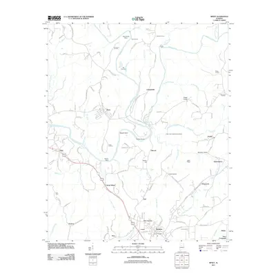 2011 Sipsey2011 Print · USGSWalker County at the start of the 2010s shows a landscape deeply shaped by the Sipsey Fork and Mulberry Fork. Researchers can trace family-named landmarks and old burial sites like Drummond Cemetery, Phillips Shoals, and the settlement of Debardeleben.
Showing maps 1-25 of 93
Top cities of Jefferson County
- Birmingham historical maps
- Hoover historical maps
- Vestavia Hills historical maps
- Homewood historical maps
- Trussville historical maps
- Bessemer historical maps
See more
Frequently asked questions
- What are the different types of historical maps available for Jefferson County?
- What is the oldest map of Jefferson County?
- Where can I purchase historical maps of Jefferson County for my home or office?
- Where can I download high-res historical maps of Jefferson County?
- Are there historical topographic maps available for Jefferson County?
- Is there historical aerial imagery available for Jefferson County?
- Where are historical maps of Jefferson County sourced from?