2020s Maps of Bessemer, Alabama
Explore 10 historic maps of Bessemer from the 2020s. These maps offer a rare glimpse into what life looked like during the 2020s — showing old roads, neighborhoods, homes, and landmarks that have changed or disappeared over time.
Whether you're researching your family's past, planning a metal detecting trip, or studying how Bessemer's landscape evolved across the 2020s, these high-resolution maps are a powerful tool for exploring the history of this region.
- Focus on a specific era: All maps on this page are from the 2020s, giving you a focused view of this time period.
- See what’s changed: Compare century-old streets, trails, and buildings to today's modern landscape using overlays and satellite layers.
- Research with precision: Use these maps for genealogy, historical research, land use analysis, or educational projects.
- View, download, or print: Maps are fully viewable online in high resolution, and can be downloaded or printed for your own records.
Start exploring Bessemer's history through authentic maps from the 2020s. This is your window into the past.
Bessemer, AL maps
(10)- 2020 Map of Helena, 2020 Print
 2020 Helena2020 Print · USGSCovers Bessemer, including Hoover, Alabaster, and other nearby areas
 - 2020 Map of Greenwood, 2020 Print
 2020 Greenwood2020 Print · USGSCovers Bessemer, including Hoover, Helena, and other nearby areas
 - 2020 Map of Bessemer, 2020 Print
 2020 Bessemer2020 Print · USGSCovers Bessemer, including Birmingham, Hoover, and other nearby areas
 - 2020 Map of Concord, 2020 Print
 2020 Concord2020 Print · USGSCovers Bessemer, including Birmingham, Hueytown, and other nearby areas
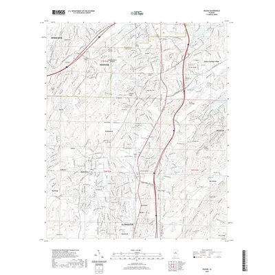
 - 2020 Map of McCalla, 2020 Print
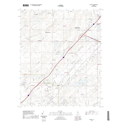 2020 McCalla2020 Print · USGSCovers Bessemer, including McCalla, Lake View, and other nearby areas
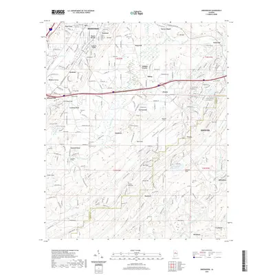
 - 2024 Map of Greenwood, 2024 Print
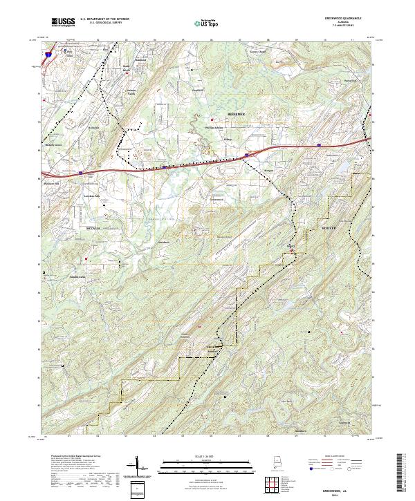 2024 Greenwood2024 Print · USGSBessemer and the northern Shades Valley appear in this recent survey, showing the corridor between Red Mountain and Shades Mountain. Genealogists can trace family sites at Fairington Cem, Massey Cem, and the Shady Brook community.
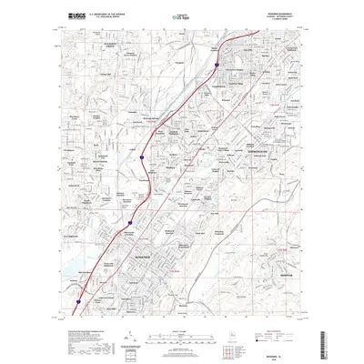
 - 2024 Map of Bessemer, 2024 Print
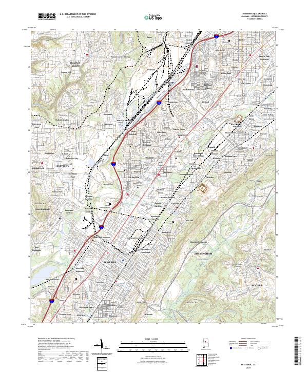 2024 Bessemer2024 Print · USGSBessemer and its neighboring industrial suburbs appear here in the early twenty-first century, showing the dense urban grid between the ridges. Researchers can trace historic junctions like Bessemer Junction or locate family sites at Cedar Hill Cem and Old Jonesboro.
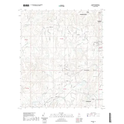
 - 2024 Map of Concord, 2024 Print
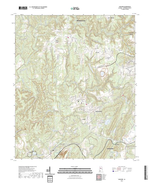 2024 Concord2024 Print · USGSWestern Jefferson County near Birmingham is shown here as a landscape of industrial history and evolving residential communities. Researchers can locate family sites and landmarks like Valley Creek Cem, Virginia Mines Cem, and Clarke Mtn.
 - 2024 Map of Helena, 2024 Print
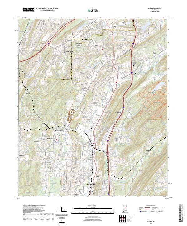 2024 Helena2024 Print · USGSThe growing corridor between Helena and Alabaster is documented here during a period of rapid suburban expansion. Local historians can trace the evolution of the Cahaba River valley, locating established landmarks like Helena Cem, Acton, and New Hope Mountain.
 - 2024 Map of McCalla, 2024 Print
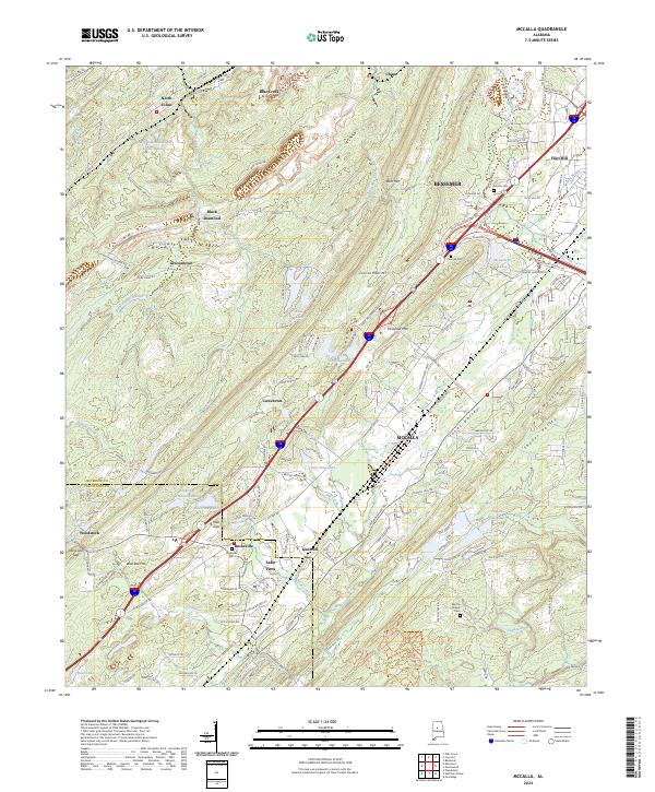 2024 McCalla2024 Print · USGSThe Jefferson and Tuscaloosa county border comes alive in this contemporary map of the valley and ridge country southwest of Bessemer. Researchers can trace the historic industrial footprints of North Johns and Black Diamond or find family sites like Bucksville Cem and Lincoln Cem.
End of results
Showing maps 1-10 of 10
Top cities near Bessemer
- Birmingham historical maps
- Hoover historical maps
- Hoover historical maps
- Vestavia Hills historical maps
- Alabaster historical maps
- Homewood historical maps
See more
Top neighborhoods of Bessemer
- Hilltop historical maps
- Hopewell historical maps
- McAdory historical maps
- Morgan historical maps
- Chinn historical maps
- Parkwood historical maps
See more
Frequently asked questions
- What are the different types of historical maps available for Bessemer?
- What is the oldest map of Bessemer?
- Where can I purchase historical maps of Bessemer for my home or office?
- Where can I download high-res historical maps of Bessemer?
- Are there historical topographic maps available for Bessemer?
- Is there historical aerial imagery available for Bessemer?
- Where are historical maps of Bessemer sourced from?