2020s Maps of Lowndes County, Alabama
Explore 42 historic maps of Lowndes County from the 2020s. These maps offer a rare glimpse into what life looked like during the 2020s — showing old roads, neighborhoods, homes, and landmarks that have changed or disappeared over time.
Whether you're researching your family's past, planning a metal detecting trip, or studying how Lowndes County's landscape evolved across the 2020s, these high-resolution maps are a powerful tool for exploring the history of this region.
- Focus on a specific era: All maps on this page are from the 2020s, giving you a focused view of this time period.
- See what’s changed: Compare century-old streets, trails, and buildings to today's modern landscape using overlays and satellite layers.
- Research with precision: Use these maps for genealogy, historical research, land use analysis, or educational projects.
- View, download, or print: Maps are fully viewable online in high resolution, and can be downloaded or printed for your own records.
Start exploring Lowndes County's history through authentic maps from the 2020s. This is your window into the past.
Lowndes County, AL maps
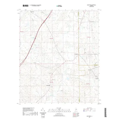
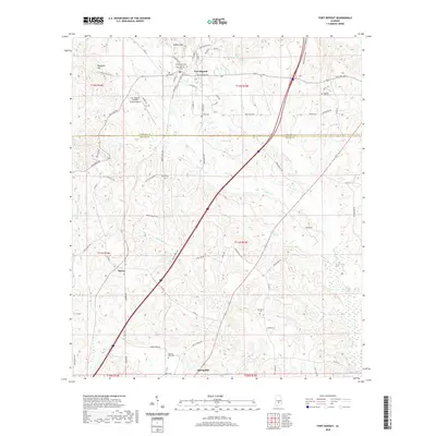
(42)- 2020 Map of Fort Dale, 2020 Print
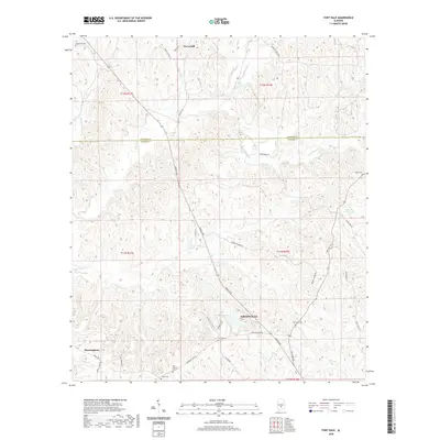 2020 Fort Dale2020 Print · USGSCovers Lowndes County, including Greenville, Clover Hill, and other nearby areas
 - 2020 Map of Danielsville, 2020 Print
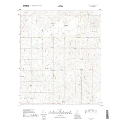 2020 Danielsville2020 Print · USGSCovers Lowndes County, including Danielville, Logan, and other nearby areas
 - 2020 Map of Minter, 2020 Print
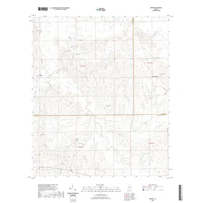 2020 Minter2020 Print · USGSCovers Lowndes County, including Dawsons, Furman, and other nearby areas
 - 2020 Map of Gordonsville, 2020 Print
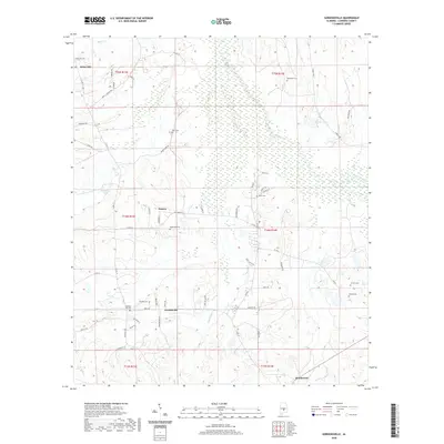 2020 Gordonsville2020 Print · USGSCovers Lowndes County, including Mosses, Gordonville, and other nearby areas
 - 2020 Map of Sandy Ridge, 2020 Print
 2020 Sandy Ridge2020 Print · USGSCovers Lowndes County, including Sandy Ridge, Davenport, and other nearby areas
 - 2020 Map of Ridgeville, 2020 Print
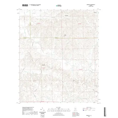 2020 Ridgeville2020 Print · USGSCovers Lowndes County, including Macedonia, Palmyra, and other nearby areas
 - 2020 Map of Autaugaville, 2020 Print
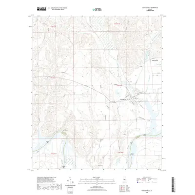 2020 Autaugaville2020 Print · USGSCovers Lowndes County, including Autaugaville, White Water, and other nearby areas
 - 2020 Map of Letohatchee, 2020 Print
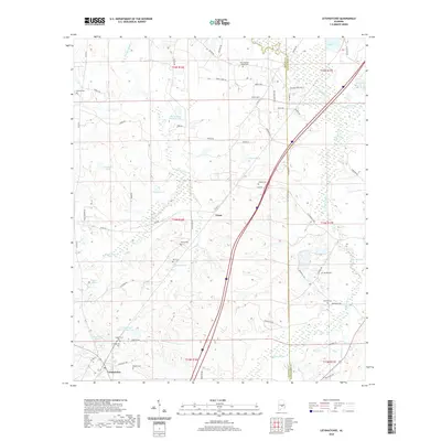 2020 Letohatchee2020 Print · USGSCovers Lowndes County, including Steep Creek, Letohatchee, and other nearby areas
 - 2020 Map of White Hall, 2020 Print
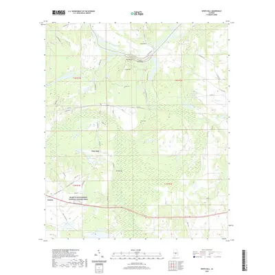 2020 White Hall2020 Print · USGSCovers Lowndes County, including White Hall, Trickem, and other nearby areas
 - 2020 Map of Pleasant Hill, 2020 Print
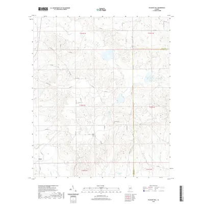 2020 Pleasant Hill2020 Print · USGSCovers Lowndes County, including Pleasant Hill, Kings, and other nearby areas
 - 2020 Map of Forester, 2020 Print
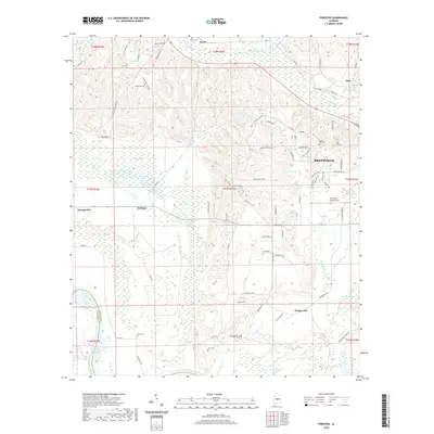 2020 Forester2020 Print · USGSCovers Lowndes County, including Prattville, Autaugaville, and other nearby areas
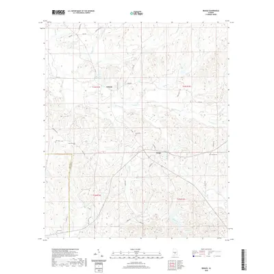
 - 2020 Map of Benton, 2020 Print
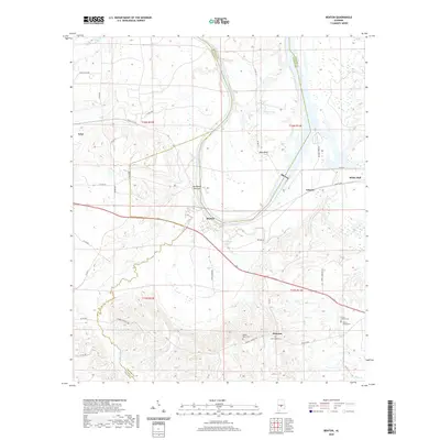 2020 Benton2020 Print · USGSCovers Lowndes County, including White Hall, Benton, and other nearby areas
 - 2020 Map of Collirene, 2020 Print
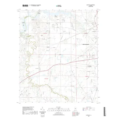
 2020 Collirene2020 Print · USGSCovers Lowndes County, including Old Town, Collirene, and other nearby areas
 - 2020 Map of Hayneville, 2020 Print
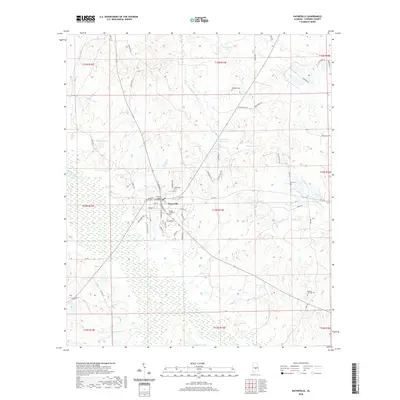 2020 Hayneville2020 Print · USGSCovers Lowndes County, including Hayneville, United States, and other nearby areas
 - 2020 Map of Mount Willing, 2020 Print
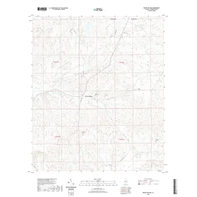 2020 Mount Willing2020 Print · USGSCovers Lowndes County, including Gordonville, Mount Willing, and other nearby areas
 - 2020 Map of Cantelous, 2020 Print
 2020 Cantelous2020 Print · USGSCovers Lowndes County, including Montgomery, Brewer Estates, and other nearby areas
 - 2020 Map of Calhoun, 2020 Print
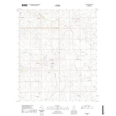
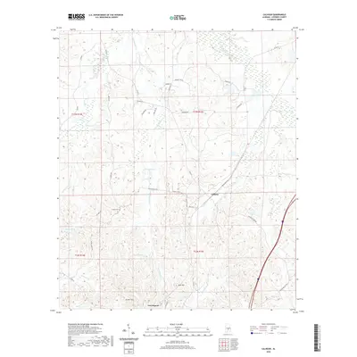 2020 Calhoun2020 Print · USGSCovers Lowndes County, including Fort Deposit, Calhoun, and other nearby areas
 - 2020 Map of Lowndesboro, 2020 Print
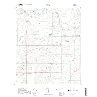 2020 Lowndesboro2020 Print · USGSCovers Lowndes County, including Lowndesboro, Manack, and other nearby areas
 - 2020 Map of Durant Bend, 2020 Print
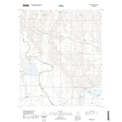 2020 Durant Bend2020 Print · USGSCovers Lowndes County, including Statesville, Mulberry, and other nearby areas
 - 2020 Map of Braggs, 2020 Print
 2020 Braggs2020 Print · USGSCovers Lowndes County, including Braggs, Fostoria, and other nearby areas
 - 2020 Map of Fort Deposit, 2020 Print
 2020 Fort Deposit2020 Print · USGSCovers Lowndes County, including Fort Deposit, Searcy, and other nearby areas
 - 2024 Map of Hayneville, 2024 Print
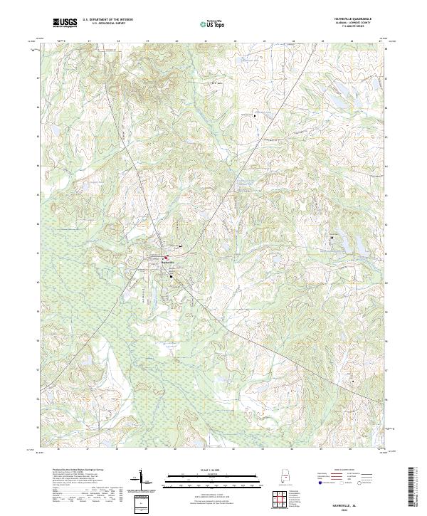 2024 Hayneville2024 Print · USGSHayneville and the surrounding Lowndes County countryside are captured here in the early twenty-first century. Researchers can locate family landmarks like the Mushat Gilchrist Cem, Bullock Hill, and the waters of Tallawassee Creek.
 - 2024 Map of Collirene, 2024 Print
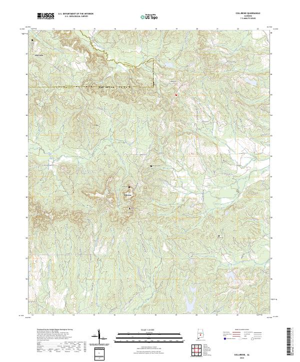 2024 Collirene2024 Print · USGSThe rural borderlands of Lowndes and Dallas counties are captured here in the mid-2020s, showing a landscape defined by traditional family settlements. Genealogists can locate several historic burial sites like Rivés Cem and Mount Cem near Collirene.
 - 2024 Map of Mount Willing, 2024 Print
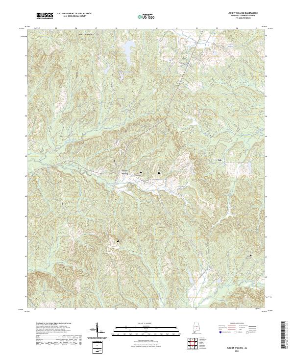 2024 Mount Willing2024 Print · USGSThe rural landscape of Lowndes County comes into focus in this contemporary survey of its small settlements and family lands. Genealogists can locate family-named landmarks and resting places such as Lee Cem, Temple Gate Cem, and Mount Willing Cem.
 - 2024 Map of Danielsville, 2024 Print
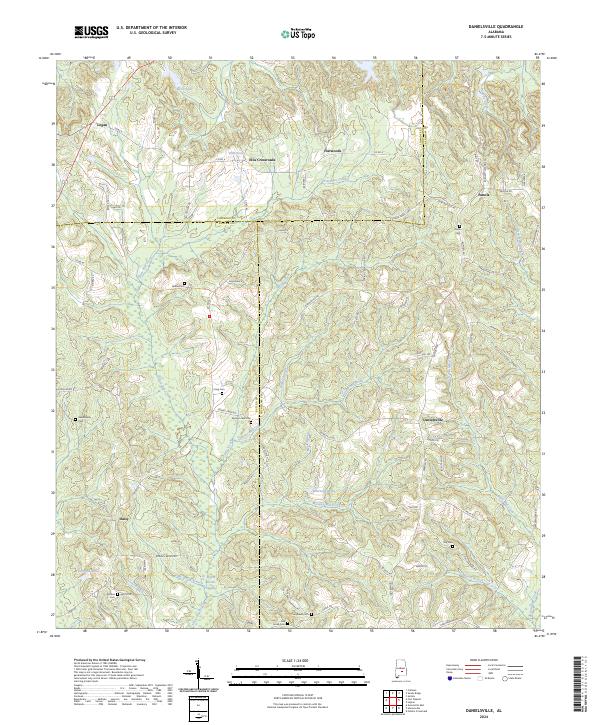 2024 Danielsville2024 Print · USGSThe tri-county borderlands of Lowndes, Butler, and Crenshaw counties are captured here in the early twenty-first century. Genealogists and local historians can trace family locations through numerous rural burial grounds like King Cem and Spring Creek Cem, or the small settlements of Danielsville and Panola.
Showing maps 1-25 of 42
Top cities of Lowndes County
- Fort Deposit historical maps
- Mosses historical maps
- Hayneville historical maps
- White Hall historical maps
- Gordonville historical maps
- Lowndesboro historical maps
See more
Frequently asked questions
- What are the different types of historical maps available for Lowndes County?
- What is the oldest map of Lowndes County?
- Where can I purchase historical maps of Lowndes County for my home or office?
- Where can I download high-res historical maps of Lowndes County?
- Are there historical topographic maps available for Lowndes County?
- Is there historical aerial imagery available for Lowndes County?
- Where are historical maps of Lowndes County sourced from?