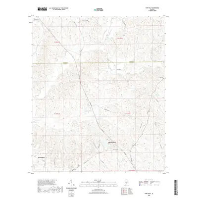
2020 Map of Fort Dale
USGS Topo · Published 2020About this map
Greenville serves as a primary hub in Butler County, where the topography transitions into the upper coastal plain of Alabama. This survey captures a landscape defined by significant water systems, including Sherling Lake and Upper Lake, which are bordered by an intricate network of creeks such as Cedar Cr and Stallings Cr. For those tracing local history, several family and community burial grounds are documented, notably Fort Dale Cem and the Old Shiloh Cem, alongside the contemporary Shiloh Cem. The northern portion of the map straddles the Lowndes County and Butler County line, showcasing small communities like Clover Hill and Manningham. The density of named road networks, from Fort Dale Rd to Braggs Rd, illustrates how modern transportation infrastructure follows the older settlement patterns and ridge lines of this region.
Find a feature on this map
45 named features on this map. Tap any name to fly to it.
Don’t see what you’re looking for? This feature index may not catch every label — zoom into the map to look around manually.
Map Details
Editions of this 2020 Fort Dale Map
This is the sole edition of this map. No revisions or reprints were ever made.
Other maps of this area

1953 · Montgomery
USGS Topo · 1:250,000

1953 · Andalusia
USGS Topo · 1:250,000

1956 · Montgomery
USGS Topo · 1:250,000

1957 · Montgomery
USGS Topo · 1:250,000

1957 · Andalusia
USGS Topo · 1:250,000

1957 · Braggs
USGS Topo · 1:62,500

1971 · Greenville West
USGS Topo · 1:24,000

1971 · Fort Deposit
USGS Topo · 1:24,000

1971 · Fort Dale
USGS Topo · 1:24,000

1971 · Greenville East
USGS Topo · 1:24,000