Old Maps of Owens Cross Roads, Alabama for Metal Detecting
Plan your next treasure hunt with 27 historic maps of Owens Cross Roads. Find old homesites, ghost towns, trails, and gathering spots that may be lost to time — perfect for identifying promising metal detecting locations.
- Locate forgotten sites: Uncover places like long-lost settlements, abandoned rail lines, or gathering spots.
- Plan better hunts: Use map overlays combined with LiDAR or satellite views to narrow in on historically rich areas.
- Made for detectorists: Thousands of hobbyists use these maps to discover relics, coins, and hidden history.
Use these historic maps to boost your research and find new opportunities beneath the surface of Owens Cross Roads.
Owens Cross Roads, AL maps
(27)- 1888 Map of Scottsboro
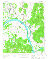
 1888 Scottsboro1888 Print · USGSNortheast Alabama is shown in the late nineteenth century as a land of steep plateaus and vital river crossings. Genealogists and researchers can trace the early rail-and-river economy through family landmarks like Caldwell's Ferry and the Bell Factory textile site.
 - 1888 Map of Huntsville
 1888 Huntsville1888 Print · USGSMadison and Limestone counties in the late 1880s showcase a landscape defined by the Tennessee River and major early rail lines. Researchers can trace the layout of Huntsville or locate long-standing communities like Mooresville and Thompsons Mill.
 - 1892 Map of Huntsville
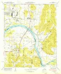
 1892 Huntsville1892 Print · USGSNorth Alabama was a landscape of river ferries and rising rail hubs in the 1890s, caught here just as the region's industry began to modernize. Researchers can locate vanished landmarks like the Monte Sano Hotel and trace old family-named sites from Thompsons Mill to Lemans Ferry.6 unique versions available
 - 1892 Map of Scottsboro
 1892 Scottsboro1892 Print · USGSJackson County and the Tennessee River valley are captured here in the late nineteenth century, just as railroads began to reshape local commerce. Genealogists can trace family-named sites like Owen's Cross Roads, Carrick Mill, and Larkin Landing.5 unique versions available
 - 1936 Map of New Hope
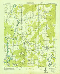 1936 New Hope1936 Print · USGSThe Flint River valley in the mid-1930s shows a landscape on the brink of change as the Wheeler Reservoir reaches its high-water mark. Researchers can locate family landmarks like Baker Cem, Owens Cross Roads, and local hubs like Buggs Chapel or Cherokee School.
 - 1936 Map of Farley
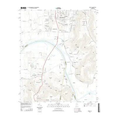
 1936 Farley1936 Print · USGSThe Tennessee River valley is captured here in the mid-1930s during its transformation by the TVA. Researchers can trace historic family names and early rural sites like Gaines Chapel, Whitesburg, and the Old Chickasaw Boundary.
 - 1947 Map of Farley, 1956 Print
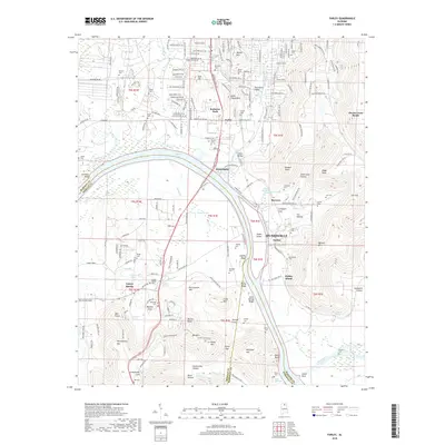
 1947 Farley1956 Print · USGSThe Tennessee River valley north of Laceys Spring is captured here just after the war, showing the expansion of federal reservations. Trace family roots at Laceys Spring Cem or locate old community hubs like St Lukes Church and the Cherokee School.
 - 1947 Map of New Hope, 1964 Print
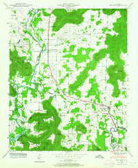 1947 New Hope1964 Print · USGSMadison County at the end of the 1940s reveals a rural landscape defined by the Tennessee River's backwaters and the foothills of the Appalachians. Researchers can trace family history through dozens of named sites like Owens Cross Roads, Cherokee School, and New Hope Cem.3 unique versions available
 - 1950 Map of Farley
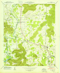
 1950 Farley1950 Print · USGSThe Tennessee River valley south of Huntsville is seen here in the mid-twentieth century as military installations began to reshape the landscape. Genealogists can trace family names through numerous burial grounds like Lacey Cem and Russell Cem, or locate rural landmarks like Cherokee School and Laceys Spring.
 - 1950 Map of New Hope
 1950 New Hope1950 Print · USGSMadison County's southeastern landscape at mid-century centers on the town of New Hope and the banks of the Flint River. Researchers can trace family history through numerous landmarks like Baker Cem, the Cherokee School, and Owens Cross Roads.2 unique versions available
 - 1956 Map of Gadsden, 1966 Print
 1956 Gadsden1966 Print · USGSNorth Alabama in the mid-1950s shows a region transformed by river engineering and federal industry. Genealogists and local historians can trace the development of the Tennessee Valley through the growth of Huntsville, the sprawling Redstone Arsenal, and the expansive Guntersville Lake.3 unique versions available
 - 1958 Map of Gadsden
 1958 Gadsden1958 Print · USGSNorth Alabama comes alive in the late 1950s as the Tennessee Valley Authority’s massive river projects and the rise of the space industry reshaped the landscape. Researchers can trace the mid-century footprints of Huntsville, Redstone Arsenal, and the riverside rail networks of the Southern railroad.
 - 1960 Map of Gadsden
 1960 Gadsden1960 Print · USGSNorthern Alabama in the mid-1950s is defined by the mighty Tennessee River and its massive reservoirs. Trace the development of Huntsville and Redstone Arsenal or explore the vast William B Bankhead National Forest.2 unique versions available
 - 1963 Map of Gadsden
 1963 Gadsden1963 Print · USGSNorthern Alabama underwent a dramatic mid-century transformation as the Tennessee Valley became a hub for defense and industry. Researchers can trace the development of the Redstone Arsenal, the route of the Natchez Trace Parkway, and long-standing rail lines like the Southern Railway.
 - 1964 Map of Farley, 1966 Print
 1964 Farley1966 Print · USGSMadison County's riverfront and military expansion are captured here in the mid-sixties as the space age transformed the region south of Huntsville. Researchers can locate family landmarks like Lacey Cem and Farley alongside the Redstone Arsenal and Rocket Siding.3 unique versions available
 - 1984 Map of Huntsville, 1986 Print
 1984 Huntsville1986 Print · USGSNorthern Alabama and the Tennessee borderlands are captured in the mid-eighties as Huntsville and the Redstone Arsenal expand. Researchers can trace rural landmarks from Woodlin Mill to the Cumberland Plateau and old rail lines like the Southern.3 unique versions available
 - 2011 Map of New Hope, 2011 Print
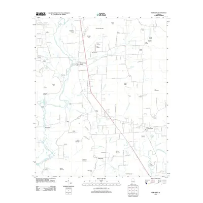 2011 New Hope2011 Print · USGSCovers Owens Cross Roads, including Huntsville, New Hope, and other nearby areas
 - 2011 Map of Farley, 2011 Print
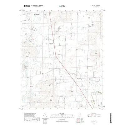
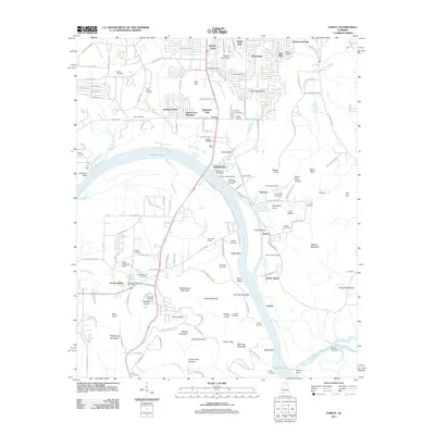 2011 Farley2011 Print · USGSCovers Owens Cross Roads, including Huntsville, Laceys Spring, and other nearby areas
 - 2014 Map of New Hope, 2014 Print
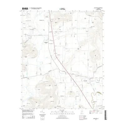 2014 New Hope2014 Print · USGSCovers Owens Cross Roads, including Huntsville, New Hope, and other nearby areas
 - 2014 Map of Farley, 2014 Print
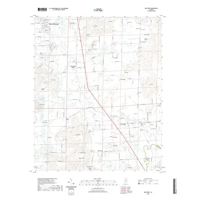
 2014 Farley2014 Print · USGSCovers Owens Cross Roads, including Huntsville, Laceys Spring, and other nearby areas
 - 2018 Map of Farley, 2018 Print
 2018 Farley2018 Print · USGSCovers Owens Cross Roads, including Huntsville, Laceys Spring, and other nearby areas
 - 2018 Map of New Hope, 2018 Print
 2018 New Hope2018 Print · USGSCovers Owens Cross Roads, including Huntsville, New Hope, and other nearby areas
 - 2020 Map of New Hope, 2020 Print
 2020 New Hope2020 Print · USGSCovers Owens Cross Roads, including Huntsville, New Hope, and other nearby areas
 - 2020 Map of Farley, 2020 Print
 2020 Farley2020 Print · USGSCovers Owens Cross Roads, including Huntsville, Laceys Spring, and other nearby areas
 - 2024 Map of Farley, 2024 Print
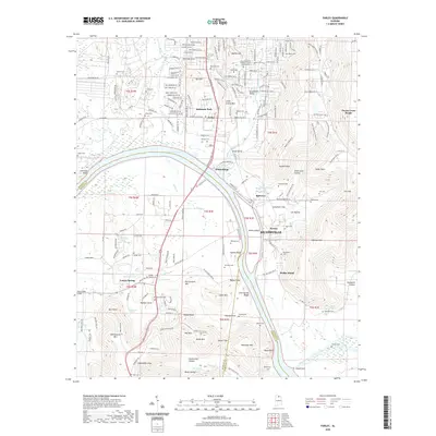
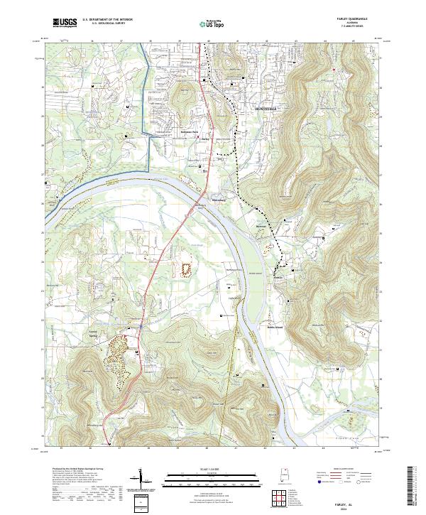 2024 Farley2024 Print · USGSThe Tennessee River valley south of Huntsville comes alive in this survey, showcasing the overlap of military grounds and rural river life. Genealogists can trace family landmarks like Laceys Spring and numerous pioneer burial sites including Bloomfield Cem and Lacey-Gem Cem.
Showing maps 1-25 of 27
Top cities near Owens Cross Roads
- Huntsville historical maps
- Guntersville historical maps
- Arab historical maps
- New Hope historical maps
- Grant historical maps
- Gurley historical maps
See more
Frequently asked questions
- What are the different types of historical maps available for Owens Cross Roads?
- What is the oldest map of Owens Cross Roads?
- Where can I purchase historical maps of Owens Cross Roads for my home or office?
- Where can I download high-res historical maps of Owens Cross Roads?
- Are there historical topographic maps available for Owens Cross Roads?
- Is there historical aerial imagery available for Owens Cross Roads?
- Where are historical maps of Owens Cross Roads sourced from?