2000s (21st Century) Maps of Owens Cross Roads, Alabama
Explore 11 historic maps of Owens Cross Roads from the 2000s (21st Century). These maps offer a rare glimpse into what life looked like during the 2000s — showing old roads, neighborhoods, homes, and landmarks that have changed or disappeared over time.
Whether you're researching your family's past, planning a metal detecting trip, or studying how Owens Cross Roads's landscape evolved across the 2000s, these high-resolution maps are a powerful tool for exploring the history of this region.
- Focus on a specific era: All maps on this page are from the 2000s, giving you a focused view of this time period.
- See what’s changed: Compare century-old streets, trails, and buildings to today's modern landscape using overlays and satellite layers.
- Research with precision: Use these maps for genealogy, historical research, land use analysis, or educational projects.
- View, download, or print: Maps are fully viewable online in high resolution, and can be downloaded or printed for your own records.
Start exploring Owens Cross Roads's history through authentic maps from the 2000s. This is your window into the past.
Owens Cross Roads, AL maps
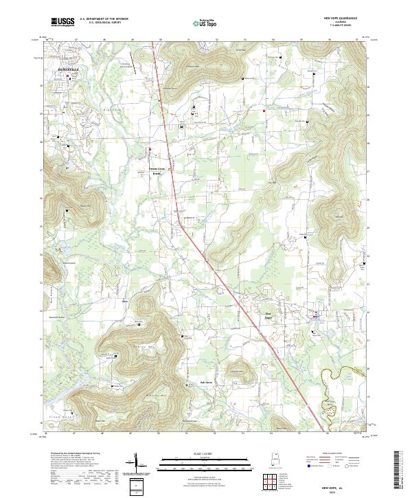
(11)- 2011 Map of New Hope, 2011 Print
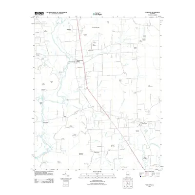 2011 New Hope2011 Print · USGSCovers Owens Cross Roads, including Huntsville, New Hope, and other nearby areas
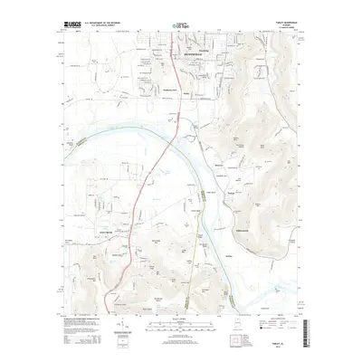
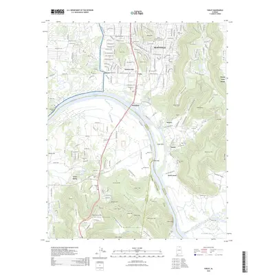
 - 2011 Map of Farley, 2011 Print
 2011 Farley2011 Print · USGSCovers Owens Cross Roads, including Huntsville, Laceys Spring, and other nearby areas
 - 2014 Map of New Hope, 2014 Print
 2014 New Hope2014 Print · USGSCovers Owens Cross Roads, including Huntsville, New Hope, and other nearby areas
 - 2014 Map of Farley, 2014 Print
 2014 Farley2014 Print · USGSCovers Owens Cross Roads, including Huntsville, Laceys Spring, and other nearby areas
 - 2018 Map of Farley, 2018 Print
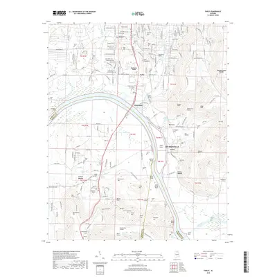 2018 Farley2018 Print · USGSCovers Owens Cross Roads, including Huntsville, Laceys Spring, and other nearby areas
 - 2018 Map of New Hope, 2018 Print
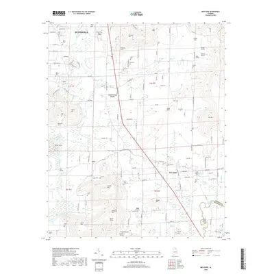 2018 New Hope2018 Print · USGSCovers Owens Cross Roads, including Huntsville, New Hope, and other nearby areas
 - 2020 Map of New Hope, 2020 Print
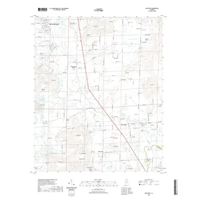 2020 New Hope2020 Print · USGSCovers Owens Cross Roads, including Huntsville, New Hope, and other nearby areas
 - 2020 Map of Farley, 2020 Print
 2020 Farley2020 Print · USGSCovers Owens Cross Roads, including Huntsville, Laceys Spring, and other nearby areas
 - 2024 Map of Farley, 2024 Print
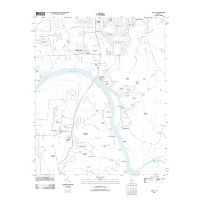
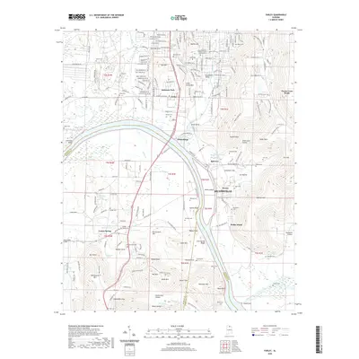
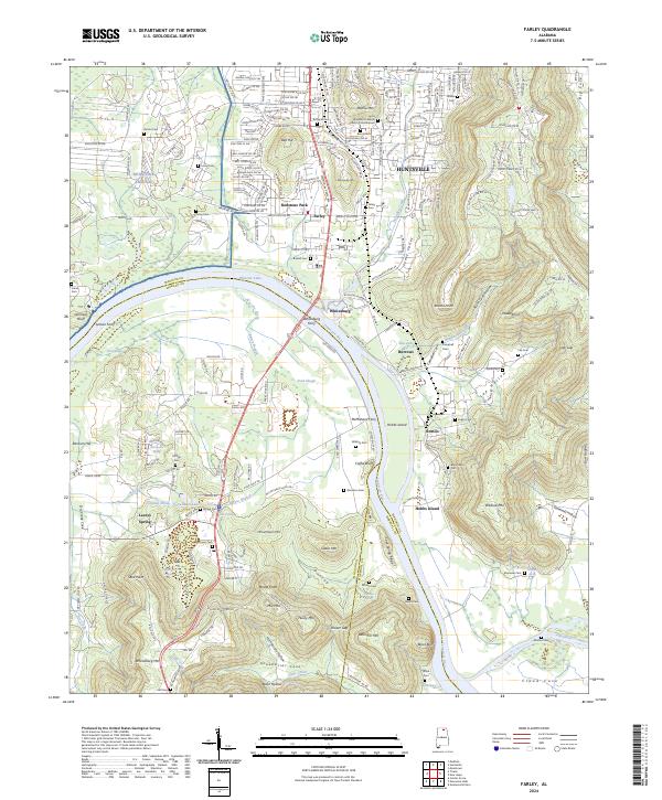 2024 Farley2024 Print · USGSThe Tennessee River valley south of Huntsville comes alive in this survey, showcasing the overlap of military grounds and rural river life. Genealogists can trace family landmarks like Laceys Spring and numerous pioneer burial sites including Bloomfield Cem and Lacey-Gem Cem.
 - 2024 Map of New Hope, 2024 Print
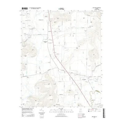
 2024 New Hope2024 Print · USGSMadison County at the edge of the Marshall County line shows a landscape of river bends and mountain hollows south of Huntsville. Researchers can locate numerous family burial sites like Byrd Cem and Bush Cem or trace the winding course of the Paint Rock River past Shirt Tail Bend.
 - 2026 Map of Farley, 2026 Print
 2026 Farley2026 Print · USGSCovers Owens Cross Roads, including Huntsville, Laceys Spring, and other nearby areas
End of results
Showing maps 1-11 of 11
Top cities near Owens Cross Roads
- Huntsville historical maps
- Guntersville historical maps
- Arab historical maps
- New Hope historical maps
- Grant historical maps
- Gurley historical maps
See more
Frequently asked questions
- What are the different types of historical maps available for Owens Cross Roads?
- What is the oldest map of Owens Cross Roads?
- Where can I purchase historical maps of Owens Cross Roads for my home or office?
- Where can I download high-res historical maps of Owens Cross Roads?
- Are there historical topographic maps available for Owens Cross Roads?
- Is there historical aerial imagery available for Owens Cross Roads?
- Where are historical maps of Owens Cross Roads sourced from?