2000s (21st Century) Maps of Creola, Alabama
Explore 20 historic maps of Creola from the 2000s (21st Century). These maps offer a rare glimpse into what life looked like during the 2000s — showing old roads, neighborhoods, homes, and landmarks that have changed or disappeared over time.
Whether you're researching your family's past, planning a metal detecting trip, or studying how Creola's landscape evolved across the 2000s, these high-resolution maps are a powerful tool for exploring the history of this region.
- Focus on a specific era: All maps on this page are from the 2000s, giving you a focused view of this time period.
- See what’s changed: Compare century-old streets, trails, and buildings to today's modern landscape using overlays and satellite layers.
- Research with precision: Use these maps for genealogy, historical research, land use analysis, or educational projects.
- View, download, or print: Maps are fully viewable online in high resolution, and can be downloaded or printed for your own records.
Start exploring Creola's history through authentic maps from the 2000s. This is your window into the past.
Creola, AL maps
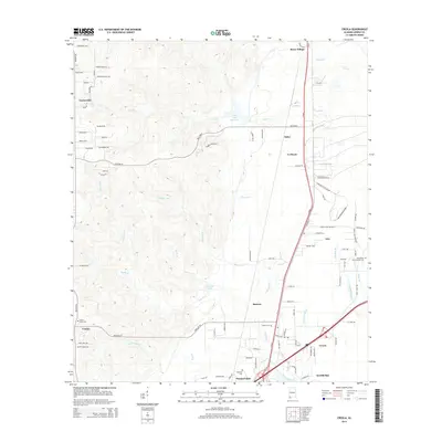
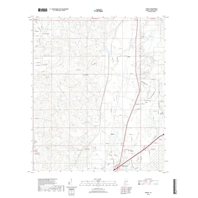
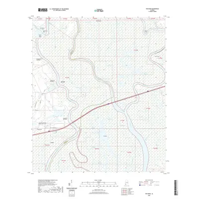
(20)- 2011 Map of Creola, 2011 Print
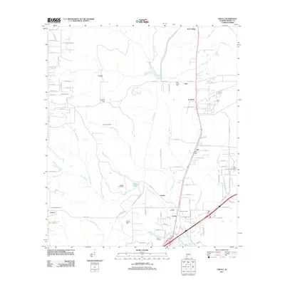 2011 Creola2011 Print · USGSCovers Creola, including Saraland, Satsuma, and other nearby areas
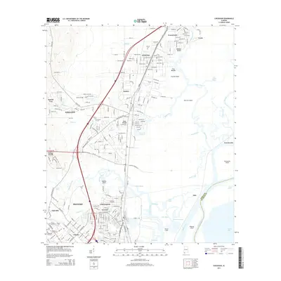
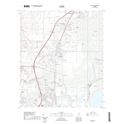
 - 2011 Map of Chickasaw, 2011 Print
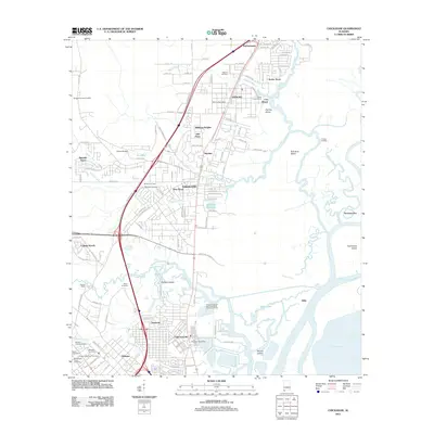 2011 Chickasaw2011 Print · USGSCovers Creola, including Mobile, Prichard, and other nearby areas
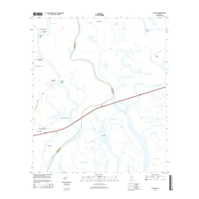
 - 2011 Map of The Basin, 2011 Print
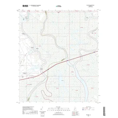
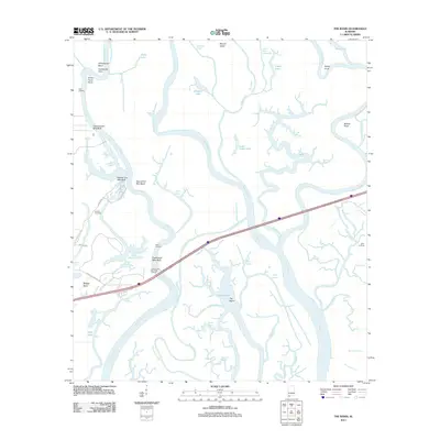 2011 The Basin2011 Print · USGSCovers Creola, including Mobile County, Baldwin County, and other nearby areas
 - 2011 Map of Hurricane, 2011 Print
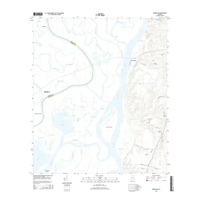
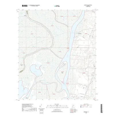
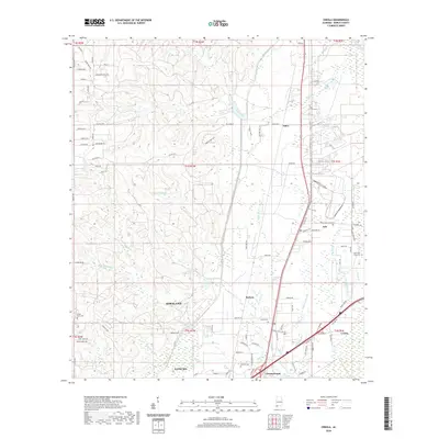
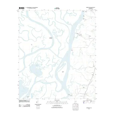 2011 Hurricane2011 Print · USGSCovers Creola, including Mobile, Hurricane, and other nearby areas
 - 2014 Map of The Basin, 2014 Print
 2014 The Basin2014 Print · USGSCovers Creola, including Mobile County, Baldwin County, and other nearby areas
 - 2014 Map of Hurricane, 2014 Print
 2014 Hurricane2014 Print · USGSCovers Creola, including Mobile, Hurricane, and other nearby areas
 - 2014 Map of Creola, 2014 Print
 2014 Creola2014 Print · USGSCovers Creola, including Saraland, Satsuma, and other nearby areas
 - 2014 Map of Chickasaw, 2014 Print
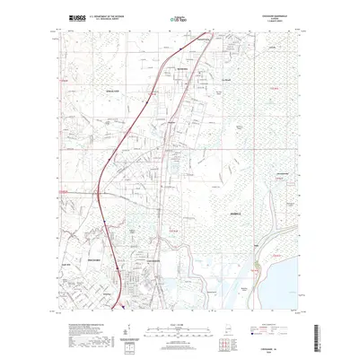
 2014 Chickasaw2014 Print · USGSCovers Creola, including Mobile, Prichard, and other nearby areas
 - 2018 Map of Hurricane, 2018 Print
 2018 Hurricane2018 Print · USGSCovers Creola, including Mobile, Hurricane, and other nearby areas
 - 2018 Map of Creola, 2018 Print
 2018 Creola2018 Print · USGSCovers Creola, including Saraland, Satsuma, and other nearby areas
 - 2018 Map of Chickasaw, 2018 Print
 2018 Chickasaw2018 Print · USGSCovers Creola, including Mobile, Prichard, and other nearby areas
 - 2018 Map of The Basin, 2018 Print
 2018 The Basin2018 Print · USGSCovers Creola, including Mobile County, Baldwin County, and other nearby areas
 - 2020 Map of The Basin, 2020 Print
 2020 The Basin2020 Print · USGSCovers Creola, including Mobile County, Baldwin County, and other nearby areas
 - 2020 Map of Hurricane, 2020 Print
 2020 Hurricane2020 Print · USGSCovers Creola, including Mobile, Hurricane, and other nearby areas
 - 2020 Map of Creola, 2020 Print
 2020 Creola2020 Print · USGSCovers Creola, including Saraland, Satsuma, and other nearby areas
 - 2020 Map of Chickasaw, 2020 Print
 2020 Chickasaw2020 Print · USGSCovers Creola, including Mobile, Prichard, and other nearby areas
 - 2024 Map of Creola, 2024 Print
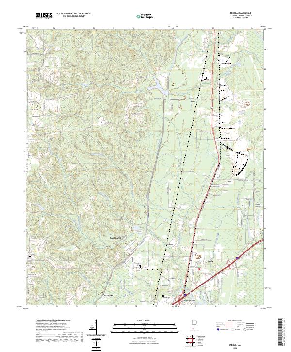 2024 Creola2024 Print · USGSThe communities of Creola, Axis, and Satsuma are shown in detail during the early 2020s. Researchers can locate several burial grounds including Creola Cem and Little Saint Louis Cem or trace the drainages of Gunnison Creek.
 - 2024 Map of The Basin, 2024 Print
 2024 The Basin2024 Print · USGSThe river delta north of Mobile comes into sharp focus in this 2024 survey of the Alabama wetlands. Researchers can trace the shifting hydrology of The Basin or locate historic river landmarks like Twentyseven Mile Bluff and Smiths Cem.
 - 2024 Map of Hurricane, 2024 Print
 2024 Hurricane2024 Print · USGSThe Mobile and Tensaw River delta in the 2020s is a complex maze of bayous, islands, and river channels along the Mobile-Baldwin county line. Genealogists and researchers can locate family landmarks like Miller Cem, Byrne Cem, and the Cook Memorial Presbyterian Chapel Cem on the higher ground.
 - 2024 Map of Chickasaw, 2024 Print
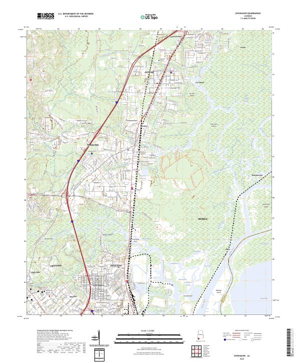 2024 Chickasaw2024 Print · USGSMobile’s northern suburbs and the Mobile River delta are captured in this contemporary survey. Historians and genealogists can trace the layout of early ferries like Alvares Ferry and locate several community burial sites, including Whistler Cem and Myers Cem.
End of results
Showing maps 1-20 of 20
Top cities near Creola
- Mobile historical maps
- Daphne historical maps
- Prichard historical maps
- Saraland historical maps
- Spanish Fort historical maps
- Bay Minette historical maps
See more
Frequently asked questions
- What are the different types of historical maps available for Creola?
- What is the oldest map of Creola?
- Where can I purchase historical maps of Creola for my home or office?
- Where can I download high-res historical maps of Creola?
- Are there historical topographic maps available for Creola?
- Is there historical aerial imagery available for Creola?
- Where are historical maps of Creola sourced from?