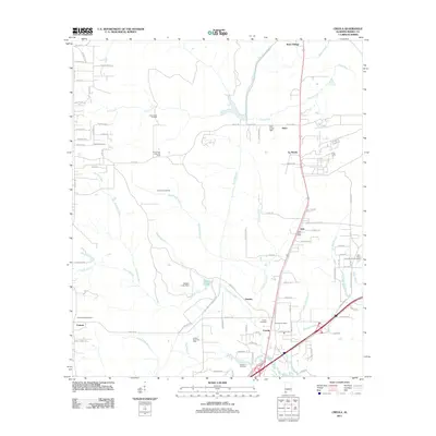
2011 Map of Creola
USGS Topo · Published 2011About this map
Industrial and residential development along the Highway 43 corridor north of Mobile defines this 2011 landscape. The map details the established communities of Creola, Axis, and Le Moyne, centered around essential services like the Creola Post Office and Axis Post Office. Local history is anchored by several burial grounds, including the Creola Cemetery and the Little Saint Louis Church Cemetery near the northeastern corner.
Find a feature on this map
94 named features on this map. Tap any name to fly to it.
Don’t see what you’re looking for? This feature index may not catch every label — zoom into the map to look around manually.
Map Details
Editions of this 2011 Creola Map
This is the sole edition of this map. No revisions or reprints were ever made.
Other maps of this area
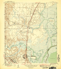
1941 · Chickasaw
USGS Topo · 1:31,680
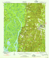
1941 · Bay Minette
USGS Topo · 1:62,500
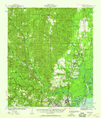
1941 · Creola
USGS Topo · 1:62,500
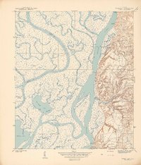
1942 · Hurricane
USGS Topo · 1:31,680
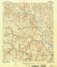
1942 · Kushla
USGS Topo · 1:31,680
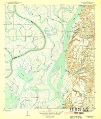
1943 · Hurricane
USGS Topo · 1:31,680
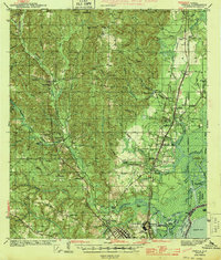
1943 · Creola
USGS Topo · 1:62,500
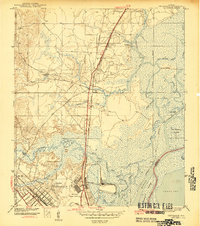
1943 · Chickasaw
USGS Topo · 1:31,680
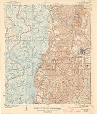
1943 · Bay Minette
USGS Topo · 1:62,500
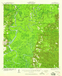
1943 · Tensaw
USGS Topo · 1:62,500