2020s Maps of Dauphin Island, Alabama
Explore 20 historic maps of Dauphin Island from the 2020s. These maps offer a rare glimpse into what life looked like during the 2020s — showing old roads, neighborhoods, homes, and landmarks that have changed or disappeared over time.
Whether you're researching your family's past, planning a metal detecting trip, or studying how Dauphin Island's landscape evolved across the 2020s, these high-resolution maps are a powerful tool for exploring the history of this region.
- Focus on a specific era: All maps on this page are from the 2020s, giving you a focused view of this time period.
- See what’s changed: Compare century-old streets, trails, and buildings to today's modern landscape using overlays and satellite layers.
- Research with precision: Use these maps for genealogy, historical research, land use analysis, or educational projects.
- View, download, or print: Maps are fully viewable online in high resolution, and can be downloaded or printed for your own records.
Start exploring Dauphin Island's history through authentic maps from the 2020s. This is your window into the past.
Dauphin Island, AL maps
(20)- 2020 Map of Grand Bay SW, 2020 Print
 2020 Grand Bay SW2020 Print · USGSCovers Dauphin Island, including Mobile County, Jackson County, and other nearby areas
 - 2020 Map of Isle aux Herbes, 2020 Print
 2020 Isle aux Herbes2020 Print · USGSCovers Dauphin Island, including Mobile County, United States, and other nearby areas
 - 2020 Map of Fort Morgan, 2020 Print
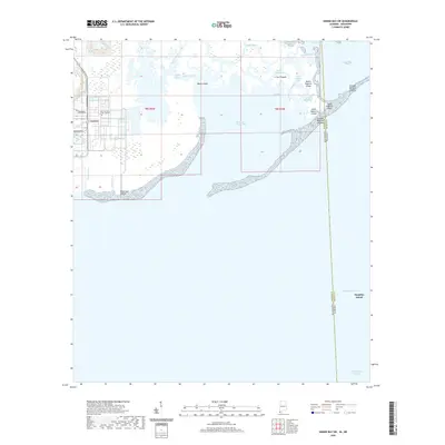
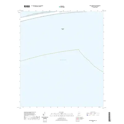
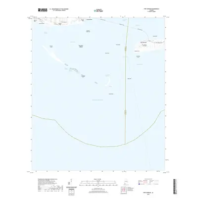 2020 Fort Morgan2020 Print · USGSCovers Dauphin Island, including Fort Morgan, Mobile County, and other nearby areas
 - 2020 Map of Petit Bois Pass, 2020 Print
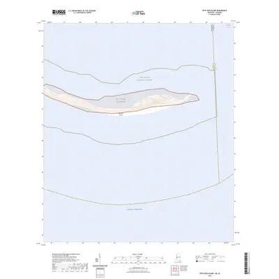
 2020 Petit Bois Pass2020 Print · USGSCovers Dauphin Island, including Mobile County, United States, and other nearby areas
 - 2020 Map of Little Dauphin Island, 2020 Print
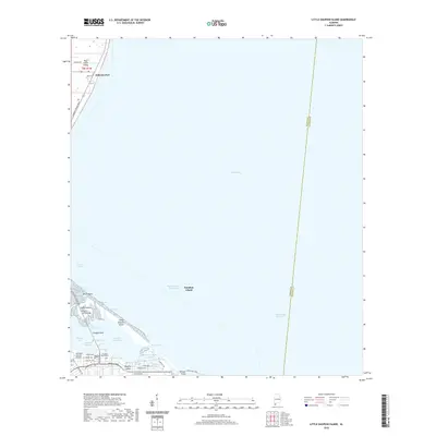 2020 Little Dauphin Island2020 Print · USGSCovers Dauphin Island, including Alabama Port, Mobile County, and other nearby areas
 - 2020 Map of Heron Bay, 2020 Print
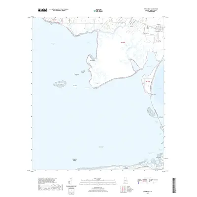 2020 Heron Bay2020 Print · USGSCovers Dauphin Island, including Heron Bay, Mobile County, and other nearby areas
 - 2020 Map of Petit Bois Island, 2020 Print
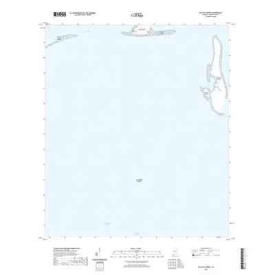
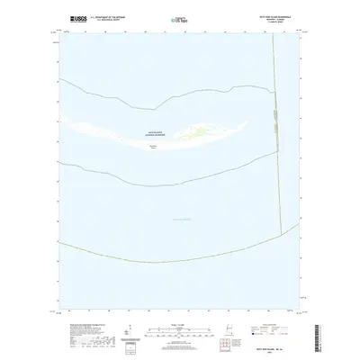 2020 Petit Bois Island2020 Print · USGSCovers Dauphin Island, including Mobile County, Jackson County, and other nearby areas
 - 2021 Map of Fort Morgan NW, 2021 Print
 2021 Fort Morgan NW2021 Print · USGSCovers Dauphin Island, including Mobile County, United States, and other nearby areas
 - 2024 Map of Isle aux Herbes, 2024 Print
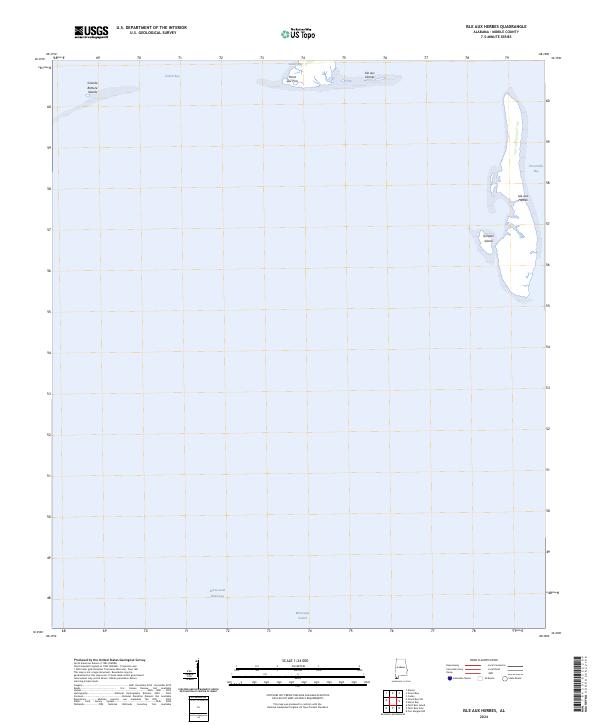 2024 Isle aux Herbes2024 Print · USGSThe Alabama coastline in the early 2020s is defined here by the shifting marshlands and protected sounds of southern Mobile County. Coastal researchers can trace the modern boundaries of Isle aux Herbes, Point aux Pins, and the navigable Intracoastal Waterway.
 - 2024 Map of Petit Bois Pass, 2024 Print
 2024 Petit Bois Pass2024 Print · USGSCovers Dauphin Island, including Mobile County, United States, and other nearby areas
 - 2024 Map of Heron Bay, 2024 Print
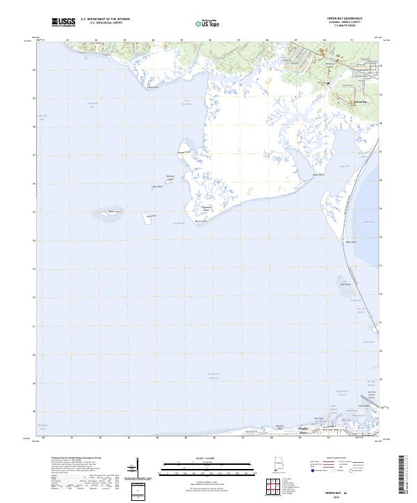 2024 Heron Bay2024 Print · USGSMobile County's southern shoreline is mapped here in the 2020s, showing the vital corridors between the mainland and the barrier islands. Genealogists and historians can trace Mon Louis Island landmarks, Dorlon Cem, and the reaches of Heron Bay.
 - 2024 Map of Fort Morgan NW, 2024 Print
 2024 Fort Morgan NW2024 Print · USGSCovers Dauphin Island, including Mobile County, United States, and other nearby areas
 - 2024 Map of Grand Bay SW, 2024 Print
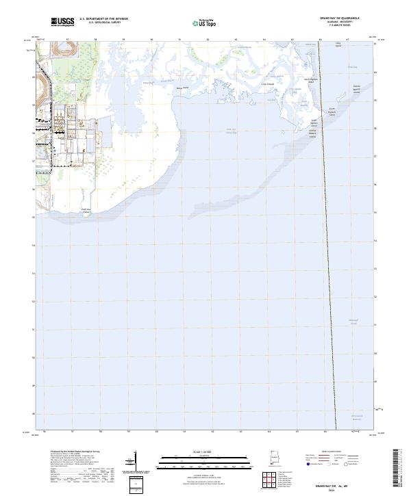 2024 Grand Bay SW2024 Print · USGSThe Alabama-Mississippi borderlands come into focus in this contemporary survey of the salt marshes and tidal bayous of the Gulf Coast. Researchers can trace the shifting shorelines of the Grand Bay National Wildlife Refuge, the Grande Batture Islands, and the course of the Intracoastal Waterway.
 - 2024 Map of Little Dauphin Island, 2024 Print
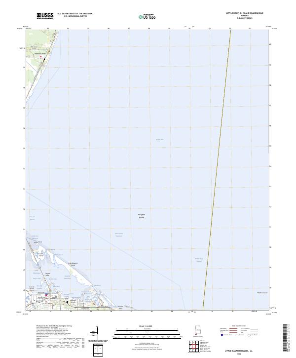 2024 Little Dauphin Island2024 Print · USGSDauphin Island and the Mobile Bay mouth are charted in the mid-2020s, showing the intersection of maritime commerce and island life. Trace local genealogy at the Dauphin Island Cem or explore the Bon Secour National Wildlife Refuge.
 - 2024 Map of Petit Bois Island, 2024 Print
 2024 Petit Bois Island2024 Print · USGSCovers Dauphin Island, including Mobile County, Jackson County, and other nearby areas
 - 2024 Map of Fort Morgan, 2024 Print
 2024 Fort Morgan2024 Print · USGSCovers Dauphin Island, including Fort Morgan, Mobile County, and other nearby areas
 - 2025 Map of Petit Bois Island, 2025 Print
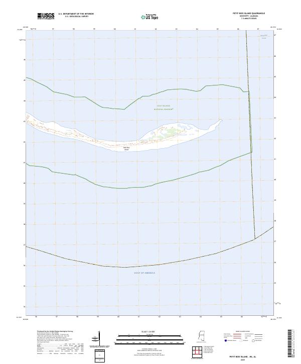 2025 Petit Bois Island2025 Print · USGSPetit Bois Island and the surrounding waters of the Mississippi Sound appear here as they were charted in 2025. You can trace the precise boundaries of the Gulf Islands National Seashore and locate the maritime line between Mississippi and Alabama.
 - 2025 Map of Fort Morgan, 2025 Print
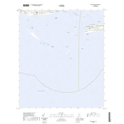
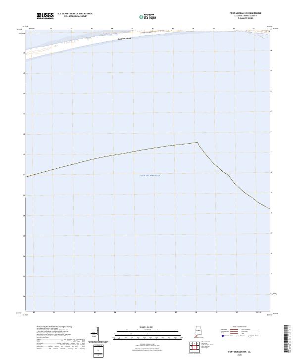
 2025 Fort Morgan2025 Print · USGSMobile Bay's historic entrance comes alive in this coastal survey, where the fortifications of another century still guard the Alabama shoreline. Researchers can trace the shifting sands of Pelican Island, locate the Fort Morgan Burial Ground, and follow the Mobile Bay Ferry route.
 - 2025 Map of Fort Morgan NW, 2025 Print
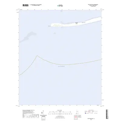
 2025 Fort Morgan NW2025 Print · USGSDauphin Island and the coastal waters of the Alabama coast are captured in this recent survey of the Mobile County shoreline. Trace the path of Bienville Blvd and the southern edge of Dauphin Island where it meets the Gulf of America.
 - 2025 Map of Petit Bois Pass, 2025 Print
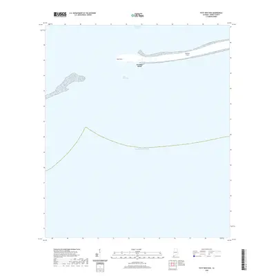
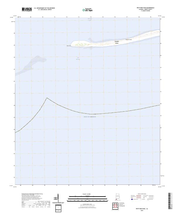 2025 Petit Bois Pass2025 Print · USGSCoastal Alabama's barrier island system is captured here in the mid-2020s, focusing on the western tip of the shore. Researchers can trace the shifting sands of West Point and the navigable waters of Petit Bois Pass and the Mississippi Sound.
End of results
Showing maps 1-20 of 20
Top cities near Dauphin Island
Frequently asked questions
- What are the different types of historical maps available for Dauphin Island?
- What is the oldest map of Dauphin Island?
- Where can I purchase historical maps of Dauphin Island for my home or office?
- Where can I download high-res historical maps of Dauphin Island?
- Are there historical topographic maps available for Dauphin Island?
- Is there historical aerial imagery available for Dauphin Island?
- Where are historical maps of Dauphin Island sourced from?