2000s (21st Century) Maps of Dauphin Island, Alabama
Explore 45 historic maps of Dauphin Island from the 2000s (21st Century). These maps offer a rare glimpse into what life looked like during the 2000s — showing old roads, neighborhoods, homes, and landmarks that have changed or disappeared over time.
Whether you're researching your family's past, planning a metal detecting trip, or studying how Dauphin Island's landscape evolved across the 2000s, these high-resolution maps are a powerful tool for exploring the history of this region.
- Focus on a specific era: All maps on this page are from the 2000s, giving you a focused view of this time period.
- See what’s changed: Compare century-old streets, trails, and buildings to today's modern landscape using overlays and satellite layers.
- Research with precision: Use these maps for genealogy, historical research, land use analysis, or educational projects.
- View, download, or print: Maps are fully viewable online in high resolution, and can be downloaded or printed for your own records.
Start exploring Dauphin Island's history through authentic maps from the 2000s. This is your window into the past.
Dauphin Island, AL maps
(45)- 2000 Map of Petit Bois Island, 2001 Print
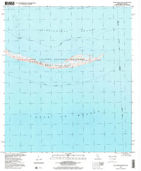 2000 Petit Bois Island2001 Print · USGSPetit Bois Island remained a wild barrier along the Gulf Coast at the turn of the century, bifurcated by the Mississippi-Alabama state line. Researchers can trace the maritime geography of the Petit Bois National Wildlife Refuge and the location of the Horn Island Lighthouse.
 - 2011 Map of Heron Bay, 2011 Print
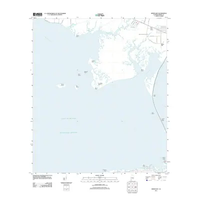 2011 Heron Bay2011 Print · USGSThe Alabama coast is revealed at the meeting of the Mississippi Sound and Portersville Bay in the early twenty-first century. Researchers can trace landforms and local heritage at Heron Bay, Murder Point, and the Dorlan Community Cemetery.
 - 2011 Map of Little Dauphin Island, 2011 Print
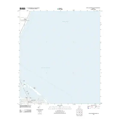 2011 Little Dauphin Island2011 Print · USGSDauphin Island and the Mobile County coastline are shown in high detail during the early 2010s. Researchers can locate family sites at the Alabama Port Cemetery or Reeds Cemetery and trace the modern expansion along Bienville Blvd.
 - 2011 Map of Fort Morgan, 2011 Print
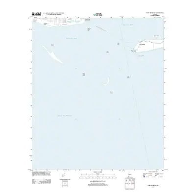 2011 Fort Morgan2011 Print · USGSDauphin Island and the mouth of Mobile Bay are captured in this early twenty-first century survey of Alabama's coast. Trace the maritime history of Fort Morgan and Fort Gaines or locate the Dauphin Island-Fort Morgan Ferry Crossing.
 - 2011 Map of Isle aux Herbes, 2011 Print
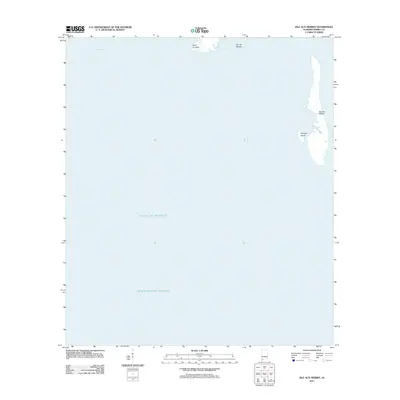 2011 Isle aux Herbes2011 Print · USGSCoastal Alabama waters and barrier islands are documented in the early twenty-first century, highlighting the maritime boundary of Mobile County. Researchers can trace the exact shorelines of Isle aux Herbes, Terrapin Island, and Point aux Pins.
 - 2011 Map of Grand Bay SW, 2011 Print
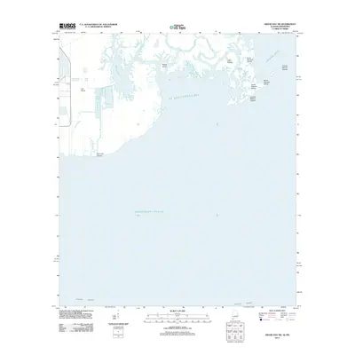 2011 Grand Bay SW2011 Print · USGSThe Alabama and Mississippi shoreline is captured here in the early twenty-first century, showing a complex world of tidal bayous and barrier islands. Researchers can trace the shifting marshes around Bangs Lake, L'Isle Chaude, and the Grande Batture Islands.
 - 2011 Map of Fort Morgan NW, 2011 Print
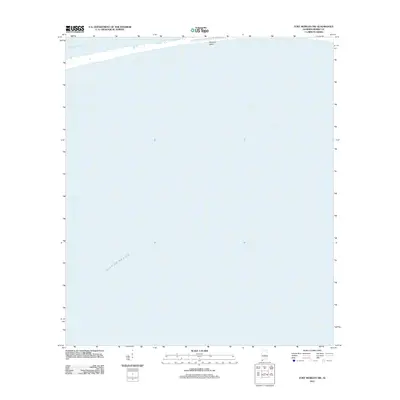 2011 Fort Morgan NW2011 Print · USGSThe Alabama coast is captured in the early twenty-first century as it transitions from the protected Mississippi Sound into the open gulf. Researchers can trace the southern shoreline of Dauphin Island and its relationship to the Gulf of Mexico.
 - 2011 Map of Petit Bois Pass, 2011 Print
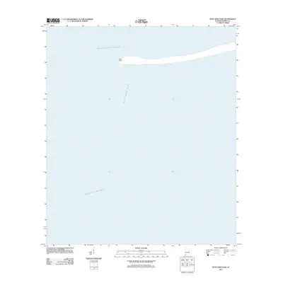 2011 Petit Bois Pass2011 Print · USGSThe maritime boundary between the Gulf of Mexico and Mississippi Sound is captured here just after the first decade of the new millennium. Researchers can trace the shifting shoreline of Dauphin Island at West Point and the deep-water channel of Petit Bois Pass.
 - 2012 Map of Petit Bois Island, 2012 Print
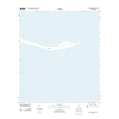 2012 Petit Bois Island2012 Print · USGSThe Gulf Coast's shifting barrier systems are captured here in the early twenty-first century, showing the narrow landmass south of the mainland. Trace the delicate shoreline of Petit Bois Island as it sits surrounded by the open waters of the Gulf of Mexico.
 - 2014 Map of Isle aux Herbes, 2014 Print
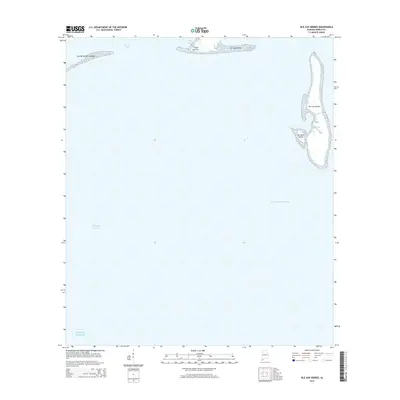 2014 Isle aux Herbes2014 Print · USGSCoastal Mobile County is charted here during the early twenty-first century, showing the fragile barrier islands and sounds before further shoreline shifts. Researchers can trace the positions of Isle aux Herbes, Terrapin Island, and the Grande Batture Islands along the maritime corridor.
 - 2014 Map of Petit Bois Pass, 2014 Print
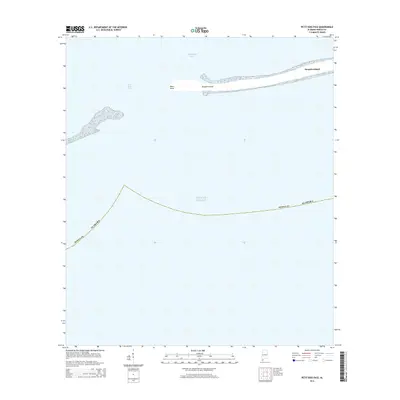 2014 Petit Bois Pass2014 Print · USGSDauphin Island and its western reaches are captured here in the early twenty-first century as they separate the sound from the sea. Genealogists and maritime historians can trace the shoreline at West Point and the currents of Petit Bois Pass.
 - 2014 Map of Fort Morgan NW, 2014 Print
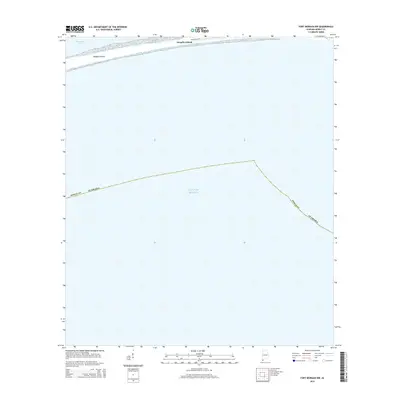 2014 Fort Morgan NW2014 Print · USGSDauphin Island sits at the edge of the Alabama coast in this 2014 survey, marking the threshold between the Sound and the Gulf. Genealogists and coastal researchers can trace the path of Bienville Blvd along Dauphin Island near the Mississippi Sound.
 - 2014 Map of Heron Bay, 2014 Print
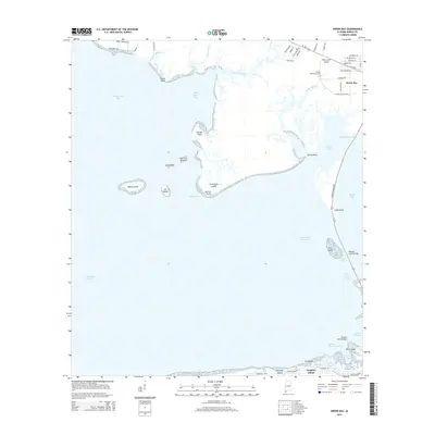 2014 Heron Bay2014 Print · USGSDauphin Island and the Mobile County coastline are captured here in the mid-2010s, showing the intersection of barrier island life and maritime infrastructure. Trace the old routes near Heron Bay, locate the Dorlan Community Cem, and see the layout of the Dauphin Island Airport.
 - 2014 Map of Little Dauphin Island, 2014 Print
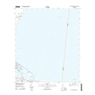 2014 Little Dauphin Island2014 Print · USGSCoastal Alabama at the start of the 2010s shows a landscape defined by maritime transit and island life. Researchers can locate family sites at Alabama Port Cem or trace the reach of the Dauphin Island Bridge and the Mobile Bay Fry.
 - 2014 Map of Fort Morgan, 2014 Print
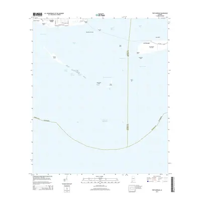 2014 Fort Morgan2014 Print · USGSMobile Bay's entrance is captured in this modern survey of the coastal defenses and island communities south of Mobile. Maritime historians and researchers can trace the navigational paths of the Main Channel, the route of the Moble Bay Ferry, and the layout of Bienville Beach.
 - 2014 Map of Grand Bay SW, 2014 Print
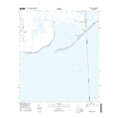 2014 Grand Bay SW2014 Print · USGSCoastal Alabama and Mississippi are defined by their vast marshlands and maritime boundaries in this early twenty-first-century survey. Researchers can trace the intricate shorelines of Grande Batture Islands or locate the settlement at The Prairie near Bangs Lake.
 - 2015 Map of Petit Bois Island, 2015 Print
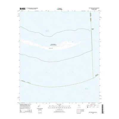 2015 Petit Bois Island2015 Print · USGSThe barrier islands of the Mississippi Sound are captured in this mid-2010s survey, documenting the delicate coastal geography of the Gulf Islands National Seashore. Trace the maritime boundary between Alabama and Mississippi across Petit Bois Island and the open waters of the Gulf of Mexico.
 - 2018 Map of Petit Bois Island, 2018 Print
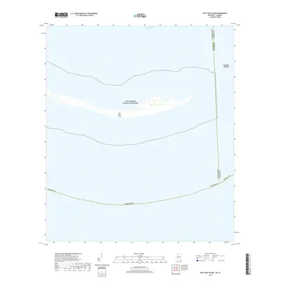 2018 Petit Bois Island2018 Print · USGSThe barrier islands of the Gulf Coast are captured in the late 2010s as they transition across the Alabama and Mississippi state line. Researchers can trace the protected sands of Petit Bois Island and the western reaches of Dauphin Island within the Gulf Islands National Seashore.
 - 2018 Map of Heron Bay, 2018 Print
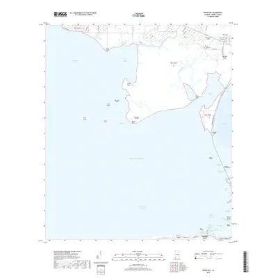 2018 Heron Bay2018 Print · USGSMobile County’s southern shoreline and the northern edge of Dauphin Island are captured in this recent survey of Alabama’s coastal geography. Maritime researchers can trace the Intracoastal Waterway, locate the Cem on Mon Louis Island, and study the Dauphin Island Bridge.
 - 2018 Map of Fort Morgan NW, 2018 Print
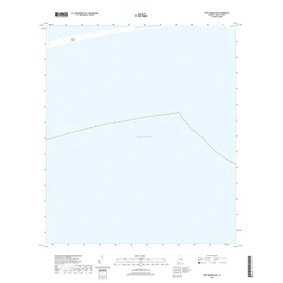 2018 Fort Morgan NW2018 Print · USGSCoastal Alabama's barrier island landscape is captured here in the years following the turn of the millennium. Trace the shoreline of Dauphin Island as it fronts the Gulf of Mexico, marking the maritime gateway to Mobile County.
 - 2018 Map of Fort Morgan, 2018 Print
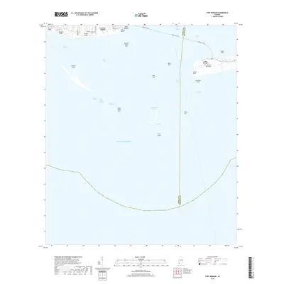 2018 Fort Morgan2018 Print · USGSMobile Bay's historic entrance is mapped here in the late 2010s, showing the strategic relationship between the peninsula and the barrier islands. Researchers can trace the modern footprints of Fort Morgan and Fort Gaines or study the shifting sands of Pelican Island and Sand Island.
 - 2018 Map of Petit Bois Pass, 2018 Print
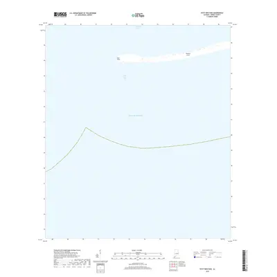 2018 Petit Bois Pass2018 Print · USGSDauphin Island meets the sea in this 2018 coastal study, showing the barrier island's western tip as it reaches toward Mississippi. Trace the shifting sands of West Point and the navigable waters of Petit Bois Pass where they open into the Gulf of Mexico.
 - 2018 Map of Isle aux Herbes, 2018 Print
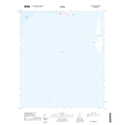 2018 Isle aux Herbes2018 Print · USGSMobile County’s maritime boundary is documented here in the years following the turn of the millennium. Researchers can trace the exact 2018 shoreline of Isle aux Herbes and the strategic path of the Intracoastal Waterway through the Mississippi Sound.
 - 2018 Map of Little Dauphin Island, 2018 Print
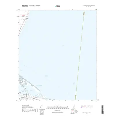 2018 Little Dauphin Island2018 Print · USGSDauphin Island and the surrounding waters of Mobile Bay are documented here in the late twenty-teens. Researchers can trace the island's coastal development and maritime history through landmarks like the Jeremiah Denton Airport, Alabama Port Cem, and the Mobile Bay Ferry.
 - 2018 Map of Grand Bay SW, 2018 Print
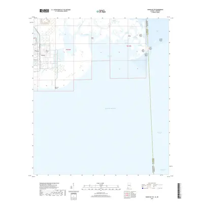 2018 Grand Bay SW2018 Print · USGSThe coastal border between Alabama and Mississippi is captured here in the late 2010s. Maritime researchers and historians can trace the intricate shoreline of the Grande Batture Islands, The Prairie, and the Intracoastal Waterway.
Showing maps 1-25 of 45
Top cities near Dauphin Island
Frequently asked questions
- What are the different types of historical maps available for Dauphin Island?
- What is the oldest map of Dauphin Island?
- Where can I purchase historical maps of Dauphin Island for my home or office?
- Where can I download high-res historical maps of Dauphin Island?
- Are there historical topographic maps available for Dauphin Island?
- Is there historical aerial imagery available for Dauphin Island?
- Where are historical maps of Dauphin Island sourced from?