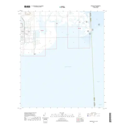
2018 Map of Grand Bay SW
USGS Topo · Published 2018About this map
Grande Batture Islands and the labyrinthine tidal marshes of the Alabama and Mississippi border define this coastal survey. The map documents the complex transition from the mainland's southern edge at The Prairie to the open waters of the Gulf of Mexico. The state line between Jackson County, Mississippi, and Mobile County, Alabama, cuts through a network of small isles and inlets, including Bangs Island, L'Isle Chaude, and the North Rigolets Island. To the east, the deep waters of the Mississippi Sound meet the northern reaches of the Intracoastal Waterway, a vital maritime corridor. This 2018 edition provides a detailed record of shoreline morphology, marking the delicate boundary where Point Aux Chenes gives way to Point Aux Chenes Bay and the interconnected bayou systems.
Find a feature on this map
28 named features on this map. Tap any name to fly to it.
Don’t see what you’re looking for? This feature index may not catch every label — zoom into the map to look around manually.
Map Details
Editions of this 2018 Grand Bay SW Map
This is the sole edition of this map. No revisions or reprints were ever made.
Other maps of this area

1921 · Grand Bay
USGS Topo · 1:62,500

1921 · Petit Bois Island
USGS Topo · 1:62,500

1941 · Horn Island
USGS Topo · 1:62,500

1942 · Petit Bois Island
USGS Topo · 1:62,500

1942 · Horn Island
USGS Topo · 1:62,500

1943 · Pascagoula
USGS Topo · 1:62,500

1943 · Grand Bay
USGS Topo · 1:62,500

1953 · Mobile
USGS Topo · 1:250,000

1955 · Pascagoula
USGS Topo · 1:62,500

1957 · Mobile
USGS Topo · 1:250,000