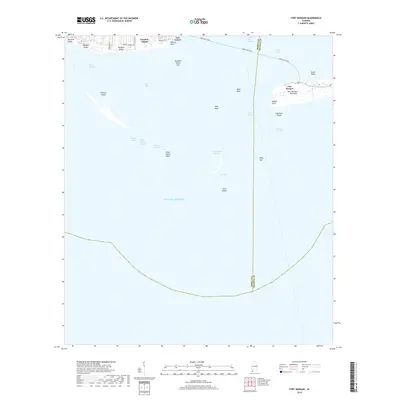
2018 Map of Fort Morgan
USGS Topo · Published 2018About this map
Fort Morgan stands as the primary landmark at the tip of the Fort Morgan Peninsula, guarding the eastern entrance to Mobile Bay. Across the deep waters of the Main Channel, the western flank is anchored by Fort Gaines on the eastern tip of Dauphin Island. This 2018 survey documents a highly dynamic coastal environment, where ephemeral landforms like Pelican Island, Sand Island, and the Dauphin Island Spit shift around the critical dredging of the Mobile Ship Channel. The map illustrates the contemporary layout of residential areas such as Bienville Beach and Dauphin Beach, linked to the mainland and the peninsula via the Mobile Bay Ferry route. Navigational hazards and features like Dixey Bar, The Cut, and Sand Island Shoal highlight the complex maritime geography of this historic Alabama gateway.
Find a feature on this map
31 named features on this map. Tap any name to fly to it.
Don’t see what you’re looking for? This feature index may not catch every label — zoom into the map to look around manually.
Map Details
Editions of this 2018 Fort Morgan Map
This is the sole edition of this map. No revisions or reprints were ever made.
Other maps of this area

1921 · Point Clear
USGS Topo · 1:62,500

1921 · Dauphin Island
USGS Topo · 1:62,500

1921 · Delchamps
USGS Topo · 1:62,500

1941 · Cedar Point
USGS Topo · 1:62,500

1941 · Weeks Bay
USGS Topo · 1:62,500

1942 · Fort Morgan
USGS Topo · 1:62,500

1943 · Cedar Point
USGS Topo · 1:62,500

1943 · Weeks Bay
USGS Topo · 1:62,500

1953 · Mobile
USGS Topo · 1:250,000

1957 · Mobile
USGS Topo · 1:250,000