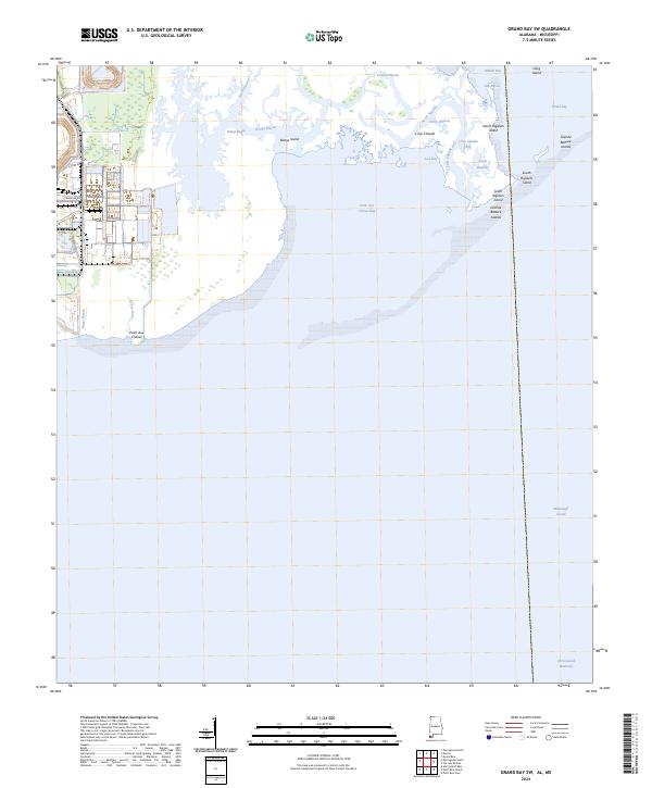
2024 Map of Grand Bay SW
USGS Topo · Published 2024About this map
The Grand Bay National Wildlife Refuge dominates this coastal landscape where the salt marshes of Alabama meet the Mississippi Sound. This modern mapping captures a complex estuarine environment defined by shifting tidal channels and low-lying landforms like Bangs Island and L'Isle Chaude. The map reveals the intricate network of the North Rigolets and South Rigolets that thread through the marshlands toward the Grande Batture Islands.
Find a feature on this map
27 named features on this map. Tap any name to fly to it.
Don’t see what you’re looking for? This feature index may not catch every label — zoom into the map to look around manually.
Map Details
Editions of this 2024 Grand Bay SW Map
This is the sole edition of this map. No revisions or reprints were ever made.
Other maps of this area

1921 · Grand Bay
USGS Topo · 1:62,500

1921 · Petit Bois Island
USGS Topo · 1:62,500

1941 · Horn Island
USGS Topo · 1:62,500

1942 · Petit Bois Island
USGS Topo · 1:62,500

1942 · Horn Island
USGS Topo · 1:62,500

1943 · Pascagoula
USGS Topo · 1:62,500

1943 · Grand Bay
USGS Topo · 1:62,500

1953 · Mobile
USGS Topo · 1:250,000

1955 · Pascagoula
USGS Topo · 1:62,500

1957 · Mobile
USGS Topo · 1:250,000