Old Maps of Saraland, Alabama for Metal Detecting
Plan your next treasure hunt with 37 historic maps of Saraland. Find old homesites, ghost towns, trails, and gathering spots that may be lost to time — perfect for identifying promising metal detecting locations.
- Locate forgotten sites: Uncover places like long-lost settlements, abandoned rail lines, or gathering spots.
- Plan better hunts: Use map overlays combined with LiDAR or satellite views to narrow in on historically rich areas.
- Made for detectorists: Thousands of hobbyists use these maps to discover relics, coins, and hidden history.
Use these historic maps to boost your research and find new opportunities beneath the surface of Saraland.
Saraland, AL maps
(37)- 1941 Map of Chickasaw
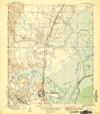 1941 Chickasaw1941 Print · USGSThe industrial riverfront north of Mobile is captured here just before the war, showing the busy Ship Yard and rail hubs. Trace local roots through the early streets of Whistler and Chickasaw or locate family landmarks like Alvarez Bridge and Liveoak Landing.2 unique versions available
 - 1941 Map of Creola, 1959 Print
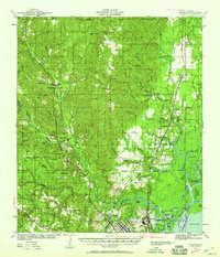 1941 Creola1959 Print · USGSMobile County during the early 1940s was a landscape of rail-connected settlements and coastal bayous. Genealogists can trace family roots through sites like Indian Springs Cem, St Louis Sch, and the riverside town of Creola.3 unique versions available
 - 1942 Map of Kushla
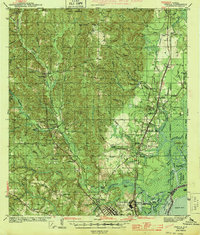
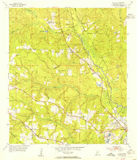
 1942 Kushla1942 Print · USGSMobile County settlements and timberlands appear here just before the mid-century boom. Genealogists can trace the rural communities of Kushla and Mauvilla, finding specific family-history sites like Indian Springs Ch and Kushla Sch along the Gulf Mobile and Ohio rail line.2 unique versions available
 - 1943 Map of Creola
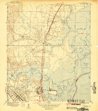
 1943 Creola1943 Print · USGSMobile County during the early 1940s shows a landscape of rail-dependent settlements and dense bayous before the mid-century suburban expansion. Researchers can locate family landmarks like Indian Springs Cem, the Oak Grove Sch, and old stops along the Alabama Tennessee and Northern Railroad.2 unique versions available
 - 1943 Map of Chickasaw
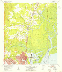
 1943 Chickasaw1943 Print · USGSCoastal Alabama was transforming during the early 1940s as industrial and rail networks expanded north of Mobile. Genealogists and historians can trace the early footprints of Saraland and Chickasaw, locate the massive Ship Yard, and study the rail lines of the Southern Railway.3 unique versions available
 - 1953 Map of Kushla, 1954 Print
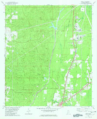
 1953 Kushla1954 Print · USGSThe rural outskirts of Mobile are documented in the early fifties as the region's railroad and river networks shaped local life. Genealogists and historians can trace family-named landmarks and centers of worship like St Johns Chapel, Mauvilla Cem, and Mt Pilgrim Ch.6 unique versions available
 - 1953 Map of Chickasaw, 1955 Print
 1953 Chickasaw1955 Print · USGSCoastal Alabama's industrial and residential growth comes into focus in this mid-century survey of the Mobile riverfront. Genealogists and historians can trace the foundations of Chickasaw and Saraland, identifying family landmarks like Saraland Cem, Myers Cem, and the old Ship Yard.6 unique versions available
 - 1953 Map of Mobile, 1968 Print
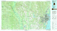
 1953 Mobile1968 Print · USGSThe Gulf Coast comes alive in this mid-century survey, from the streets of Mobile to the marshes of New Orleans. Trace family roots in coastal towns like Pass Christian and Bayou La Batre or locate military landmarks including Keesler AFB.3 unique versions available
 - 1957 Map of Mobile
 1957 Mobile1957 Print · USGSThe Gulf Coast in the mid-1950s reveals a bustling corridor of rail-and-river commerce connecting Alabama to Louisiana. Genealogists and historians can trace old settlements and military hubs from Keesler Afb to the coastal reaches of Ship Island and Bogalusa.3 unique versions available
 - 1960 Map of Mobile
 1960 Mobile1960 Print · USGSThe Gulf Coast at the dawn of the sixties shows a landscape of busy ports, military airbases, and barrier islands. Trace the rail lines of the Louisville & Nashville through BILOXI and Pascagoula or find family history in towns like Bayou La Batre and Poplarville.
 - 1963 Map of Mobile
 1963 Mobile1963 Print · USGSThe Gulf Coast at the dawn of the sixties shows a thriving maritime and military corridor from Louisiana to Alabama. Genealogists and historians can trace rail lines like the Louisville & Nashville RR and find landmarks from Brookley AFB to Fort Morgan.
 - 1965 Map of Mobile
 1965 Mobile1965 Print · USGSThe Gulf Coast at mid-century reveals a landscape of expanding ports and vital military installations from Louisiana to Alabama. Genealogists and historians can trace the growth of Biloxi, Pascagoula, and Mobile, alongside the sprawling De Soto National Forest.
 - 1982 Map of Creola
 1982 Creola1982 Print · USGSMobile County settlements are mapped in detail during the early eighties as the rail-and-creek landscape of Creola and Axis continued to develop. Genealogists can trace family locations near Forest Lawn Cem, Little Bethel Ch, and the outlying crossroads of Turnerville.3 unique versions available
 - 1982 Map of Chunchula
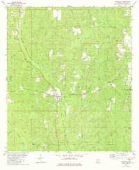 1982 Chunchula1982 Print · USGSCoastal Alabama's pine woods and creek bottoms are documented here in the early eighties, centered on the Chunchula community. Genealogists and historians can trace the Illinois Central Gulf rail line past Turnerville Ch, Starlight Ch, and several family-named waterways.2 unique versions available
 - 1984 Map of Mobile
 1984 Mobile1984 Print · USGSMobile and its surrounding Gulf Coast backcountry appear in the mid-eighties as a hub of maritime industry and timber management. Genealogists and historians can trace the development of the riverfront near McDuffie Island or explore rural settlements like Lucedale and Chunchula.
 - 1984 Map of Mobile
 1984 Mobile1984 Print · USGSThe Gulf Coast at the height of the mid-eighties shows a landscape of rapid industrial growth and military significance. Researchers can trace the sprawling rail lines of the Illinois Central Gulf RR, locate the NASA Test Facility, or study the barrier island chain from Cat Island to Petit Bois Island.3 unique versions available
 - 1994 Map of Mobile
 1994 Mobile1994 Print · USGSMobile and its sprawling bay are captured in the mid-nineties as the industrial port and coastal wilderness found a modern balance. Genealogists and historians can trace rail lines like the Illinois Central Gulf RR and find landmarks such as Bonnie Chapel and Hollingers Island.
 - 2011 Map of Chunchula, 2011 Print
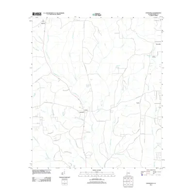 2011 Chunchula2011 Print · USGSCovers Saraland, including Chunchula, Gulfcrest, and other nearby areas
 - 2011 Map of Kushla, 2011 Print
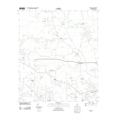 2011 Kushla2011 Print · USGSCovers Saraland, including Mobile, Prichard, and other nearby areas
 - 2011 Map of Creola, 2011 Print
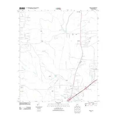 2011 Creola2011 Print · USGSCovers Saraland, including Satsuma, Creola, and other nearby areas
 - 2011 Map of Chickasaw, 2011 Print
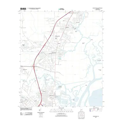 2011 Chickasaw2011 Print · USGSCovers Saraland, including Mobile, Prichard, and other nearby areas
 - 2014 Map of Kushla, 2014 Print
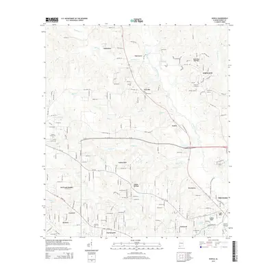 2014 Kushla2014 Print · USGSCovers Saraland, including Mobile, Prichard, and other nearby areas
 - 2014 Map of Creola, 2014 Print
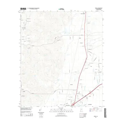 2014 Creola2014 Print · USGSCovers Saraland, including Satsuma, Creola, and other nearby areas
 - 2014 Map of Chunchula, 2014 Print
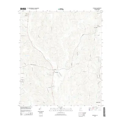 2014 Chunchula2014 Print · USGSCovers Saraland, including Chunchula, Gulfcrest, and other nearby areas
 - 2014 Map of Chickasaw, 2014 Print
 2014 Chickasaw2014 Print · USGSCovers Saraland, including Mobile, Prichard, and other nearby areas
Showing maps 1-25 of 37
Top cities near Saraland
- Mobile historical maps
- Daphne historical maps
- Prichard historical maps
- Spanish Fort historical maps
- Satsuma historical maps
- Chickasaw historical maps
See more
Top neighborhoods of Saraland
- Hatters historical maps
- Northwood Estates historical maps
- Pine Wood historical maps
- Kali-Oka Springs historical maps
- Shelton Beach Estates historical maps
- Spanish Trace historical maps
See more
Frequently asked questions
- What are the different types of historical maps available for Saraland?
- What is the oldest map of Saraland?
- Where can I purchase historical maps of Saraland for my home or office?
- Where can I download high-res historical maps of Saraland?
- Are there historical topographic maps available for Saraland?
- Is there historical aerial imagery available for Saraland?
- Where are historical maps of Saraland sourced from?